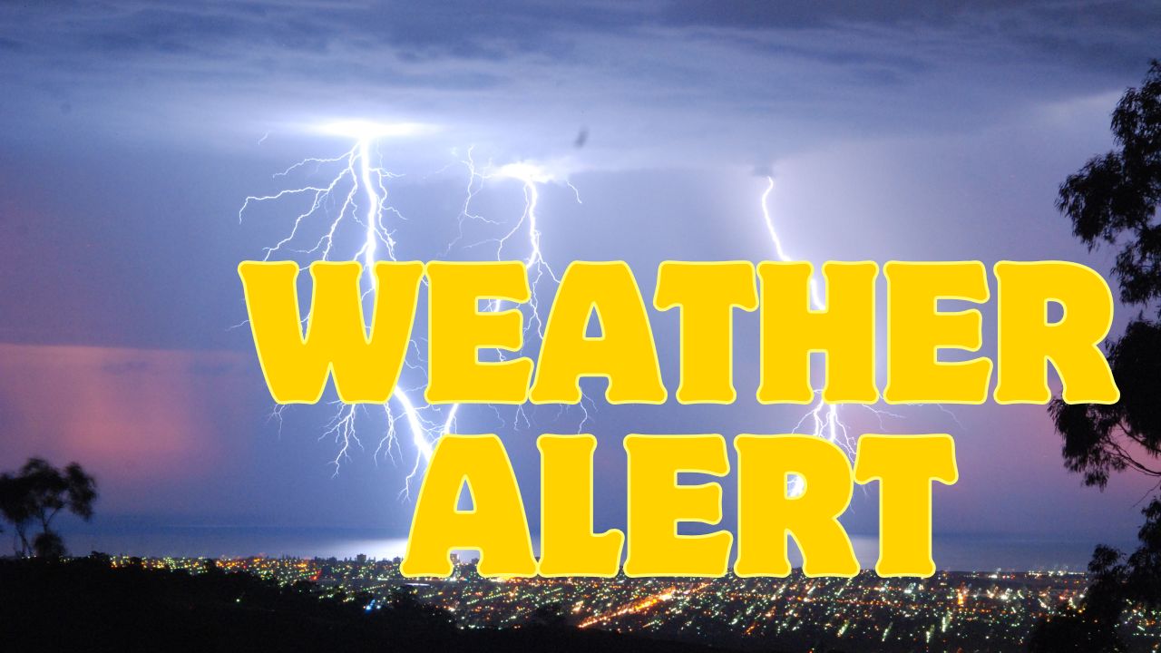
RIVERTON, Wyo. – Central Wyoming residents are being urged to prepare as strong winds and scattered thunderstorms threaten the Riverton area through Friday night, September 12. The National Weather Service warns that gusts could reach as high as 50 mph, fueling elevated fire danger and creating hazardous travel conditions on major routes such as U.S. Highway 26 and I‑25.
In addition to dangerous gusts, forecasters note a risk of dry lightning that can spark new wildfires where fuels are dry. The situation is expected to remain dynamic through the weekend, with additional storm chances early next week.
How the Weather Will Impact Riverton
Forecasters from the National Weather Service in Riverton say the main threats this period are strong wind gusts, reduced visibility from blowing dust, and isolated thunderstorms capable of producing dry lightning. Though different model runs show some variation, the consensus highlights a high-wind environment through Friday afternoon and night.
“Widespread elevated fire weather conditions will continue Friday afternoon with scattered thunderstorms possible across Fremont County. The primary threats include dangerous wind gusts and dry lightning that may spark new wildfires.” — National Weather Service, Riverton
Safety Risks: Fire Danger and Travel Hazards
The combination of dry fuels and strong winds increases the risk of rapid fire spread. Motorists should expect sudden changes in driving conditions on exposed highways and plan for possible visibility reductions from blowing dust.
- Primary road concerns: U.S. Highway 26 near Riverton and I‑25 farther east.
- Wind gust potential: Up to 50 mph in places, with forecast guidance showing gusts commonly around 40 mph on Friday.
- Fire threat: Dry lightning and elevated fire weather conditions across Fremont County.
- Visibility: Blowing dust may significantly reduce visibility on open highways.
Five-Day Outlook for Riverton
The following forecast outlines expected conditions through the coming week. Travelers and residents should monitor updates.
- Friday (Sept. 12): High 80°F, scattered showers and storms, wind gusts up to 40 mph.
- Saturday: High 75°F, chance of storms mainly over western and northern Wyoming.
- Sunday: High 77°F, mostly sunny with light winds — conditions improve.
- Monday: High 72°F, cooler with a slight late storm chance.
- Tuesday: High 79°F, scattered storms expected, breezy with gusts up to 25 mph.
What Residents Should Do Now
Local officials recommend immediate preparedness actions to reduce risk to life and property.
- Avoid outdoor burning until fuels are no longer at elevated risk.
- Secure loose items around homes and yards to prevent wind damage.
- Check road conditions before travel and allow extra time on exposed highways.
- Have an evacuation plan if you live in a wildfire‑prone area and stay tuned to local alerts.
What Happens Next?
Warnings currently remain in effect, and additional advisories could be issued if storm activity intensifies. By Sunday most of central Wyoming should see improving conditions, but residents should remain weather-aware with storm chances lingering into the start of next week.
Stay alert: Monitor the National Weather Service and local emergency channels, avoid unnecessary travel during high-wind periods, and report any wildfires immediately.
Call to action: How are you preparing for the strong winds and storms in Riverton? Share your safety tips or recent road-condition reports in the comments below.