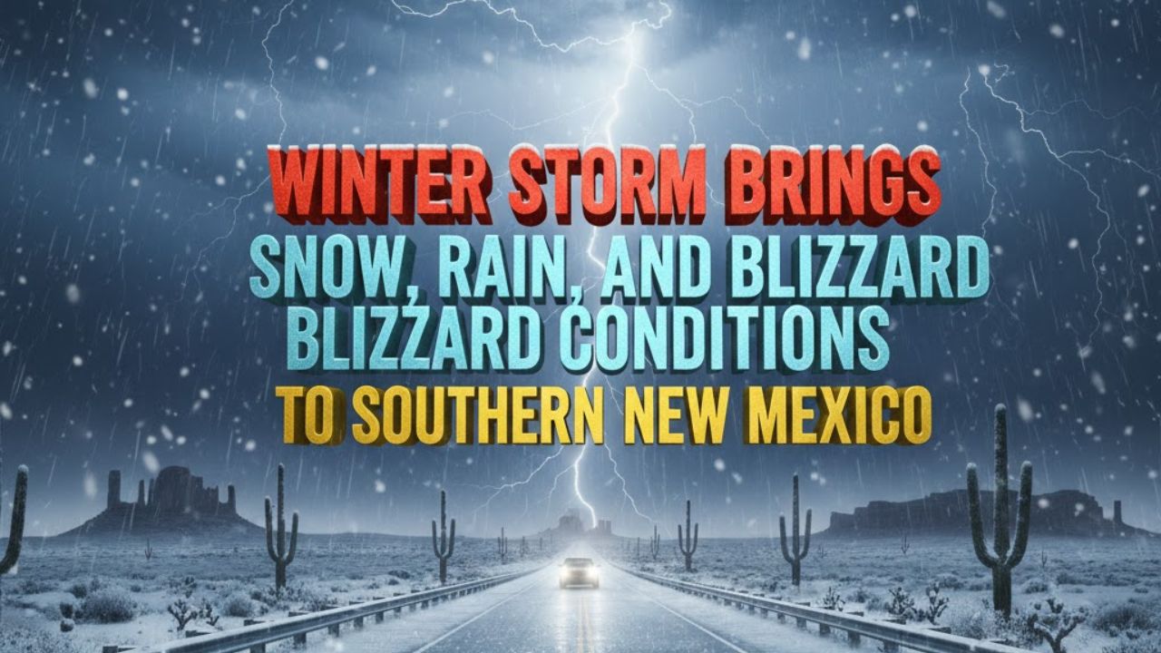
Southern New Mexico – Rain and snow showers moved into southern New Mexico early Monday and are expected to continue through the evening, creating hazardous travel conditions across large parts of the state. According to the National Weather Service, multiple weather alerts remain in effect as the storm intensifies through tonight.
Winter Weather Advisories and Blizzard Warning in Effect
Winter Weather Advisories, Winter Storm Warnings, and a Blizzard Warning are active until 11 p.m. tonight across the southeastern corner of New Mexico. Forecasts indicate snowfall accumulations ranging from 1 to 7 inches by midnight, depending on elevation and location.
The most dangerous conditions are expected in higher terrain, particularly across the Sacramento Mountains, where blowing snow and reduced visibility could make travel extremely difficult.
Roads Expected to Become Hazardous
State and local officials warn that road conditions are likely to deteriorate as snowfall increases and temperatures drop. Snow-covered and icy roads are expected, especially along mountain passes and elevated highways.
Temperatures this afternoon will be as much as 35 degrees colder than Sunday, a sharp change that may catch residents off guard and increase the risk of icy surfaces developing quickly.
Storm Exits Overnight, Warming Trend Ahead
The storm system is forecast to exit the region overnight into Tuesday. As it moves out, conditions are expected to gradually improve, allowing a warming trend to take hold across much of the state as New Mexico heads into the New Year.
Daytime temperatures are expected to rebound after the storm, offering temporary relief from the winter chill.
Another System Possible on New Year’s Eve
Forecasters are already monitoring another storm system expected to arrive around New Year’s Eve. This next system could bring additional rain to lower elevations, with snow chances returning to higher elevations in northern New Mexico and parts of southwest Colorado, including Colorado.
Residents are advised to stay alert for updated forecasts and changing conditions as the holiday period approaches.