Charleston, WV – A stubborn early-season cold pattern will keep West Virginia in wintry conditions through December 9–15, with forecasters warning of continued chill, occasional snow showers, and potentially slick travel on higher mountain routes.
The NOAA Climate Prediction Center’s latest 8–14 Day Outlook, issued December 1, shows the Mountain State remaining colder than normal while a fresh surge of Arctic air hangs over the Northeast and Ohio Valley. That setup will keep most of the region locked in a pattern that feels more like mid-winter than early December.
Cold pattern continues across the state
Daytime highs are expected to linger in the low to mid-30s across central and northern counties, while overnight lows will drop into the 20s and even the teens in the higher ridges. The sustained chill marks one of the earliest prolonged cold spells of the season.
Meteorologists note that this pattern is tied to persistent Arctic air spilling southward, contrasting sharply with conditions in the western and southern United States, where places such as California, Texas, and Arizona will trend warmer and drier than usual.
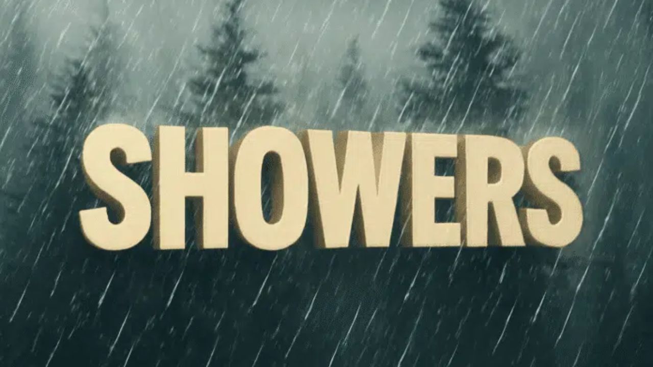
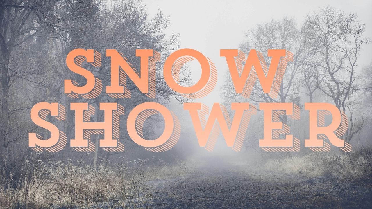
Snow showers and light accumulations remain possible
Alongside the cold, the long-range forecast points to above-normal precipitation. That means West Virginia could see periodic flurries and light snowfall through mid-week, especially in the Allegheny Highlands and northern counties.
Charleston, Morgantown, and Elkins may all experience scattered snow showers or quick dustings.
Higher-elevation areas—including mountain passes—could face icy spots, particularly during early morning and evening hours when temperatures drop fastest.
What forecasters are watching next
Forecasters say the broader weather pattern favors continued cold intrusions, keeping winter conditions active in the region. While a temporary warm-up remains possible later in December, the Climate Prediction Center notes it is unlikely to last long.
“Cold air looks to remain a dominant factor for the central and northern Appalachians,” the NOAA outlook indicates, emphasizing that Arctic influence will likely return even after short breaks.
East-west weather split grows more dramatic
While West Virginia braces for more cold and snow chances, much of the western U.S. will experience a different story. A milder, drier pattern is developing across states like California, Nevada, and Arizona, highlighting a strong east-west contrast heading into mid-December.
This stark divide is a hallmark of shifting winter patterns across the country, driven by high-latitude blocking and the positioning of the jet stream.
Travel and daily-life impacts
Residents should be prepared for:
- Colder-than-normal daytime temperatures through December 15
- Icy roads during early morning and late-night hours
- Possible short-lived snow events, especially in the highlands
- Wind chills that may make temperatures feel 5–10 degrees colder
The combination of active weather and lingering Arctic air will keep conditions unpredictable at times, especially for drivers crossing mountain routes.
Looking toward the holidays
Although a brief warm spell could form closer to late December, forecasters caution that West Virginia may see more cold air return ahead of the Christmas period. The early pattern suggests a colder-than-average month overall, with scattered snow events likely.
Share your experiences or conditions in your area in the comments below.