Springfield, MO – Southwest Missouri is experiencing another stretch of unseasonably warm fall weather, with temperatures running far above mid-November norms ahead of a developing rain chance on Sunday. Forecasters say residents should use the warm, calm conditions today and Saturday before more unsettled weather moves in by the second half of the weekend.
Mild Fall Pattern Across the Ozarks
Early Friday brought a soft, mild breeze across the Ozarks and a thin layer of moisture on Springfield roadways. Leaves drifted across fields as southerly winds began strengthening, setting the stage for a warm push of air extending into Saturday.
According to the National Weather Service in Springfield, those south winds will continue to pick up through the afternoon and may cause brief crosswind issues on Highway 65, I-44, and other exposed roadways. With the region remaining rain-free today, officials recommend using the quiet stretch for leaf cleanup, outdoor projects, or early holiday preparation ahead of changing conditions late in the weekend.
Weekend Forecast: Warm Temperatures With Sunday Showers
Forecasters report that warm air continues to surge into southwest Missouri today and Saturday, driving temperatures well above normal. The mild weather holds through early Sunday before a moisture increase brings building clouds and scattered showers around midday.
Light rain may slow travel for families beginning early Thanksgiving trips, especially around Springfield and along major corridors such as I-44 and Highway 60. Although rainfall amounts appear light, visibility and wet pavement may briefly impact travel.
Models indicate that temperatures will remain comfortably above freezing through the weekend, limiting any chance for wintry precipitation.
Background: Early “Winter Tease” in the Central U.S.
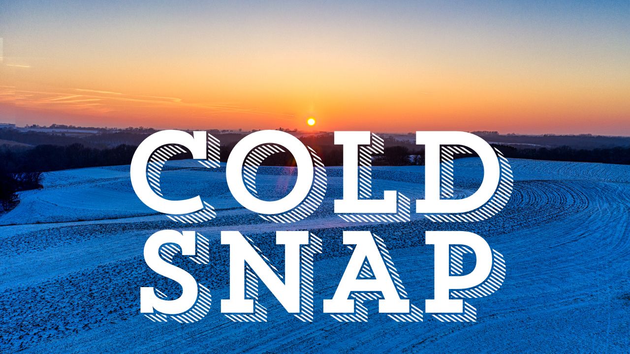
While Missouri holds onto fall warmth for a few more days, meteorologists say the central United States is entering a “Winter Tease” pattern, with colder air building just to the north. Some states, including Iowa, Illinois, and Wisconsin, have already seen early-season snow, and another small system could create light accumulations before Thanksgiving.
Springfield currently sits south of the main snow belt, but forecasters warn that a stronger cold front next week may bring sharper temperature drops, marking the transition toward a more active late-November pattern.
Ongoing Developments and Next Weather Shift
For now, residents across the Ozarks can expect a warm, sunny Saturday before cloud cover increases on Sunday. The National Weather Service says confidence is increasing for a cooler trend next week as colder air approaches from the northwest.
Travelers heading north this weekend should remain alert to shifting conditions and early winter impacts in nearby states.
Five-Day Springfield Forecast
- Fri: 77° / 59° – Sunny; breezy south wind along I-44.
- Sat: 78° / 47° – Mostly sunny; occasional gusts.
- Sun: 87° / 48° – Warm with increasing clouds; scattered showers.
- Mon: 67° / 48° – Mostly cloudy; spotty showers linger.
- Tue: 83° / 43° – Mostly sunny; cooler air building late.
Conclusion
Springfield and the surrounding region will enjoy two more unusually warm fall days before Sunday brings a shift to wetter and slightly cooler weather. With a stronger cold front expected next week, the warm spell may be one of the last before the Ozarks move toward a more winter-like pattern.
What do you think about the warm November stretch? Share your thoughts in the comments below.