Burlington, VT – Vermont is bracing for its first taste of winter this weekend as a powerful storm system brings rain, gusty winds, and a quick changeover to wet snow by late Sunday night. Following a mild and breezy start, temperatures are expected to drop sharply, ushering in an early November chill across the state.
The Storm Setup and Changing Conditions
Friday begins on a quiet note across northern Vermont, with temperatures in the 20s and skies initially clear before clouds build throughout the morning. The calm start won’t last long, as a moisture-rich front approaches from the west.
Meteorologists expect rain to develop later in the day, spreading eastward with gusts up to 30 mph along Lake Champlain and the I-89 corridor. The National Weather Service warns that the system could intensify quickly, especially across higher elevations.
Some mountain towns in Addison and Rutland Counties could briefly see a rain-snow mix before milder air surges north. By Friday evening, steady rain and brisk southwest winds will dominate, marking the start of a wet and unsettled weekend.
Saturday’s Brief Break Before Another Front Arrives
Saturday will offer a short-lived reprieve as the storm system exits New England. Expect partly sunny skies and highs in the low 50s, giving residents a brief window for outdoor activities. However, forecasters caution that a new system from the Great Lakes is already on its way.
By Saturday night, increasing clouds and a fresh breeze will set the stage for another round of rain and falling temperatures heading into Sunday.
Sunday: Rain, Wind, and a Sudden Temperature Drop
Sunday’s weather takes a sharp turn, becoming gray, damp, and colder. Highs will hover around 47°F as another front sweeps through, delivering gusty rain through the afternoon and evening.
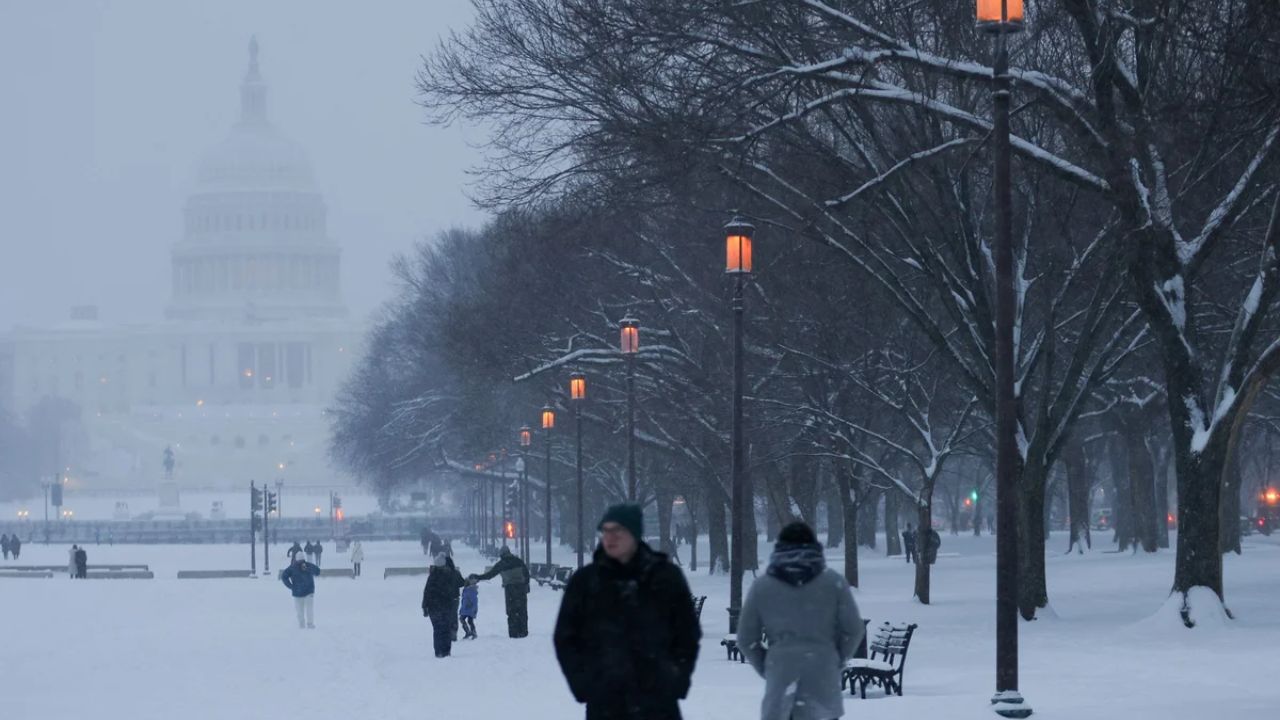
The big transition comes late Sunday night into Monday, when colder air rushes in, turning rain into wet snow across the Champlain Valley, Green Mountains, and northern slopes.
“This will be Vermont’s first real winter tease of the season,” forecasters said, noting that accumulations should remain light, but slick spots may form above 1,000 feet early Monday morning.
Motorists are urged to use caution on mountain passes and rural backroads as temperatures dip below freezing overnight.
Early Week Chill and Veterans Day Outlook
By Monday night, snow showers will taper off, giving way to a cold and blustery Veterans Day. Highs are expected to reach only the mid-40s, with a biting northwest breeze making it feel even colder.
Forecasters say the midweek pattern looks dry but unsettled, with overnight lows in the 20s and a possible round of lake-effect snow developing along the northern Green Mountain slopes by Wednesday.
Background: Signs of Winter’s Early Arrival
This pattern aligns with early November climatology in Vermont, where the first rain-to-snow transitions often occur before mid-month. Meteorologists say the shift marks a clear end to fall’s mild stretch and a signal of winter’s approach across New England.
Experts recommend residents check home heating systems, clear gutters of fallen leaves, and prepare vehicles for winter travel, as fluctuating temperatures and mixed precipitation could cause rapidly changing road conditions.
Ongoing Forecast and What to Expect Next
The National Weather Service in Burlington continues to monitor the storm track closely, noting that even small shifts could influence snow coverage and intensity. Updated forecasts will refine expected snow totals and wind gusts, especially for higher elevations.
Forecasters also remind residents that November’s early snow events often serve as a preview of winter storm behavior in the region — a mix of wet snow, freezing rain, and gusty winds typical of early-season transitions.
Conclusion
As the weekend unfolds, Vermonters should brace for a dramatic shift from mild fall rain to early-season snow, marking the official arrival of November’s chill. With another storm system on the horizon, the state’s first true taste of winter may just be the beginning of a longer cold pattern ahead.
How are you preparing for Vermont’s first snow of the season? Share your thoughts and local weather updates in the comments below.


