Portland, OR – A widespread winter system stretching from Maine to Oregon is expected to bring snow, rain, and strong winds from Thursday into Friday, according to the National Weather Service (NWS). The storm marks one of the first major signs of winter across the United States, spanning more than 2,000 miles coast-to-coast.
The Incident: Widespread Storm Systems Set to Collide
Meteorologists say two separate storm systems will impact the U.S. later this week, creating nationwide weather disruptions.
In the Pacific Northwest, a Pacific storm will move inland on Thursday, bringing low-elevation rain, gusty winds, and mountain snowfall across parts of Oregon, Washington, and Idaho.
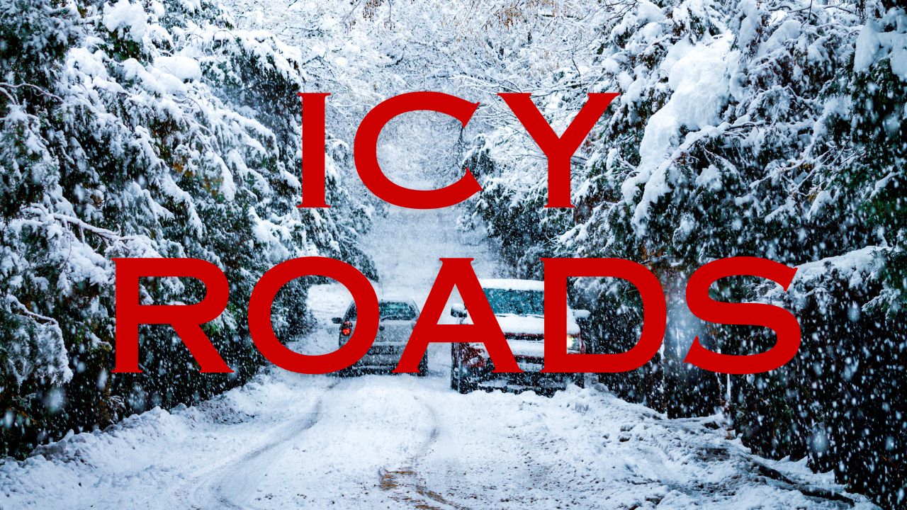
The National Weather Service in Portland reports that snow levels will drop across higher elevations, potentially leading to slick mountain passes and reduced visibility for travelers.
“Motorists should expect hazardous driving conditions, especially through Cascade passes,” the NWS said in a regional advisory.
Meanwhile, in the Northeast, a secondary system will continue pushing across New England through Thursday night, producing gusty winds, scattered rain, and light snow showers, particularly across Maine, Vermont, and New Hampshire.
Regional Impacts and Snowfall Forecast
Forecasters expect light to moderate snow accumulations across most regions, with the heaviest snowfall likely confined to mountainous terrain in the Cascades, northern Rockies, and northern New England highlands.
In the Upper Midwest, colder air filtering behind the front may generate scattered snow showers across Wisconsin, Minnesota, and northern Michigan late Thursday into Friday.
Meteorologists emphasize that while this will not be a major snowstorm, it represents a broad early-season event signaling winter’s expanding reach across the country.
“This setup will deliver the season’s first measurable snowfall for many northern states,” said an NWS meteorologist. “Even small accumulations could make for slippery commutes and changing road conditions.”
Travel and Safety Concerns
The National Weather Service urges drivers in northern states and mountain regions to plan ahead for possible travel disruptions. Snowfall, even in light amounts, can quickly cause ice buildup, slippery roads, and poor visibility during peak travel hours.
Key areas of concern include:
- Oregon and Washington mountain passes (Snoqualmie, Santiam, and Government Camp)
- Idaho’s panhandle routes through the northern Rockies
- Northern New England highways, especially in Maine and Vermont
Air travel delays are also possible in Portland (PDX) and Seattle (SEA) due to gusty winds and mixed precipitation.
Meteorological Context: The First Sign of a Winter Pattern
Weather experts say this dual-system setup is typical of early November patterns, signaling the transition into winter storm season. A strong Pacific jet stream is expected to continue fueling storms across the western U.S., while a dip in the jet stream over the Midwest and East allows cold air to spread southward.
This pattern will likely continue into mid-November, with additional storm tracks forming across the northern U.S. corridor.
“We’re seeing the first alignment of cold Arctic air meeting Pacific moisture,” explained the NWS. “This combination will keep snow chances active across much of the northern tier.”
Ongoing Developments and What to Expect Next
By Friday, the Pacific system is forecast to weaken as it moves eastward, while the eastern storm exits into the Atlantic. Temperatures are expected to remain 10–15°F below average across parts of the Pacific Northwest, northern Plains, and New England.
Residents across Maine, Minnesota, and Oregon are advised to monitor local forecasts and prepare for fluctuating road conditions as the storm moves through.
Conclusion
The back-to-back systems sweeping from Oregon to Maine mark the first coast-to-coast snow event of the season, setting the stage for a potentially active early winter. With snow spreading across more than 2,000 miles, forecasters urge caution for those traveling or commuting through affected regions.
What are your thoughts on this developing weather system? Share your local updates or experiences in the comments below.