Minneapolis, MN – Drivers in the Twin Cities should expect patchy fog early Tuesday morning, with isolated showers lingering overnight. The weather will improve quickly after sunrise, giving way to a string of warm, mostly calm days across Minnesota.
Fog and Reduced Visibility for Commuters Tuesday Morning
According to the National Weather Service in the Twin Cities, lows tonight will dip into the 60s, with fog likely forming in low-lying areas and along major highways like I-94 and Highway 52. Drivers are advised to allow extra time for their morning commutes on Tuesday and use headlights in areas with reduced visibility.
Partly Cloudy Tuesday with Mild Temperatures
Skies will clear as the day progresses, becoming partly cloudy with highs reaching between 80 and 85 degrees. Wednesday will see mostly sunny skies and mild temperatures, with lows dropping to the mid-50s to mid-60s overnight.
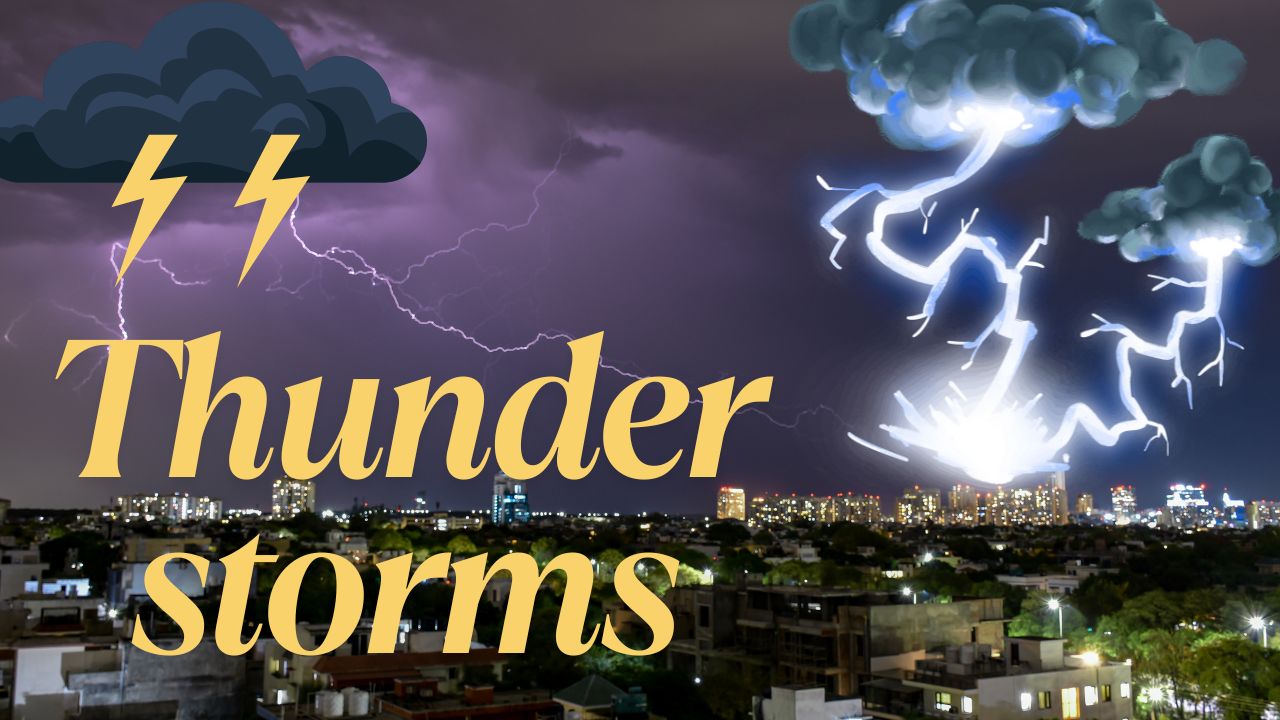
Thunderstorm Risk Increases by Thursday Night
By Thursday, temperatures will rise into the mid- to upper 80s, and a 30% chance of thunderstorms will develop late in the day. While the earlier part of the week looks perfect for outdoor activities, forecasters warn that the Thursday evening storms could bring brief downpours or lightning.
Five-Day Forecast for Minneapolis, MN
- Tuesday: Patchy fog early, partly cloudy. Highs 80–85, lows 58–65.
- Wednesday: Mostly sunny. Highs 80–85, lows 55–65.
- Thursday: Chance of late storms. Highs 82–87, lows 60–65.
- Friday: Clearing skies, highs low 80s.
- Saturday: Mostly sunny, highs upper 70s to low 80s.
Are you ready for the upcoming thunderstorms? Share your plans for the week in the comments below.