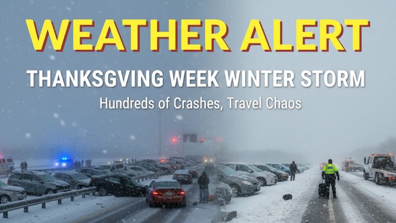
MINNEAPOLIS – A disruptive winter storm is creating dangerous travel conditions across the Upper Midwest at one of the busiest times of the year, unleashing heavy snow, powerful winds and widespread outages as millions prepare for Thanksgiving. The first system has already triggered whiteout conditions, highway shutdowns and more than a thousand flight disruptions, while a second storm is set to sweep across more than 40 states as holiday travelers prepare to head home.
Treacherous weather continues to grip Minnesota, Wisconsin and Michigan, where snowfall totals have rapidly climbed and wind gusts have made travel exceptionally hazardous. The FOX Forecast Center reports that the next winter storm, forming in the Rockies, could deepen travel chaos heading into the weekend.
Current Conditions Across the Upper Midwest
The first storm intensified quickly as it crossed the Northern Plains, prompting urgent travel advisories. Wind gusts over 70 mph created whiteouts on major highways, while rapid snowfall buried communities across northern Wisconsin and Michigan’s Upper Peninsula.
In Brule, Wisconsin, a report measured 23 inches of snow, while widespread totals between 12 and 18 inches were recorded elsewhere.
Interstate 29 was shut down early Wednesday between Fargo and Watertown due to severely reduced visibility before reopening once the fast-moving system cleared. Interstate 94 also experienced hours-long closures after more than 30 semitrucks jackknifed Tuesday night into Wednesday morning.
Minnesota State Patrol confirmed more than 250 crashes, including 30 with injuries, between Tuesday afternoon and Wednesday morning.
Tens of thousands of customers across northern Wisconsin and Michigan’s Upper Peninsula lost power Wednesday afternoon as winds and wet snow brought down branches and power lines.
High Winds Lead to Significant Air Travel Delays
Strong winds across the Midwest led to major delays at several airports, contributing to a growing wave of disruptions nationwide. By late Wednesday morning, more than 1,100 flights had been delayed or canceled, according to national data referenced in the report.
Forecasters expect wind-related ground stops and ground delays to continue through Wednesday evening, affecting major hubs across the region.
Lake-Effect Snow to Intensify Through Saturday
As the first storm exits the region, the Lake Superior and Lake Michigan Snowbelts are bracing for the most intense lake-effect snow event of the season so far. Accumulations are expected to be measured in multiple feet, with conditions worsening through Thanksgiving Day.
The National Weather Service office in Marquette advised residents across the Upper Peninsula to avoid traveling Wednesday and on Thanksgiving Day due to dangerous visibility and heavy snowfall. Lake-enhanced accumulations are also piling up across northern Minnesota and northern Wisconsin.
Farther east, lake-effect snow bands will target Ohio, Pennsylvania, western New York and the Tug Hill Plateau, where snowfall is expected to reach extreme levels. Winds are forecast to carry narrow but intense bands into Syracuse, Albany and parts of New York’s Capital Region, creating rapidly changing road conditions along Interstate 90.
Second Winter Storm Expected to Impact More Than 40 States
With colder air settling across the country on Thanksgiving Day, the FOX Forecast Center warns that a major winter storm will develop in the Rockies on Friday. This second system could disrupt holiday travel across the Central U.S. as millions begin returning home or heading out for Black Friday shopping.
Denver is expected to receive its first measurable snow of the season, followed by a widespread snowfall event across the Central Plains. Forecast totals call for 5–8 inches across Iowa, southern Wisconsin and parts of Illinois.
Chicago is expected to receive 8–12 inches beginning Friday. If projections hold, it could become one of the city’s snowiest two-day November stretches since official records began in 1884.
Chicago, Milwaukee and Detroit airports are likely to see significant delays due to heavy snow and high winds.
Heavy Rain to Hit the Midwest and East Coast
South of Interstate 70, repeated rounds of heavy rain are expected across the mid-Mississippi Valley beginning Saturday. Rain will spread eastward into the Appalachians and the East Coast by Sunday, extending possible travel disruptions through Monday.
Staying Safe During Winter Travel
Officials are urging drivers to stay alert, slow down and check road conditions frequently as visibility may change within minutes during heavy snow or strong lake-effect bands.
General safety advice includes maintaining a full tank of gas, keeping emergency supplies in the vehicle and avoiding unnecessary travel during active warnings.
What Travelers Should Expect Next
The combination of lingering lake-effect snow and the arrival of a second, widespread storm means conditions may continue to deteriorate through the holiday weekend. Families heading home are encouraged to monitor airline updates, drive with caution and expect possible delays through Monday.
Share your experiences or current travel conditions in the comments below.


