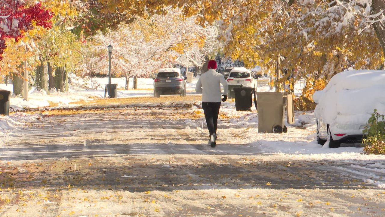
New Orleans, La. – After experiencing unusually warm temperatures for this time of year over the weekend, residents across southeast Louisiana and southern Mississippi are facing a sharp cooldown as colder air moves into the region. According to WGNO, temperatures fell significantly on Monday and are expected to continue dropping through the evening and overnight hours.
Cooler Conditions Replace Weekend Warmth
Sunday brought well above-average temperatures, but Monday marked a noticeable change. High temperatures only reached the upper 60s to low 70s, roughly 20 degrees cooler than the previous day.
As the evening progresses, temperatures are expected to fall further, with overnight lows dipping into the upper 30s, bringing a much colder feel across the region.
Strong Winds Add to the Chill
Wind gusts throughout southeast Louisiana and southern Mississippi reached around 20 mph during the afternoon and early evening hours. While winds are expected to gradually ease overnight, breezy conditions will persist.
Residents are advised to secure or bring indoors any loose outdoor items that could be blown around and to take precautions to protect sensitive plants over the next 48 hours.
Cold Weather Advisory Issued Overnight
To highlight the severity of the cold conditions, the National Weather Service has issued a Cold Weather Advisory beginning at midnight and lasting until 9 a.m. Tuesday.
During this time, wind chills are expected to drop into the low 20s, creating below-freezing “feels like” temperatures across the area. Officials urge residents to dress in layers, limit prolonged outdoor exposure, and check on vulnerable individuals and pets.
What to Expect Next
Cold conditions are expected to persist into Tuesday morning before gradual improvement later in the day. Forecasters continue to monitor conditions and recommend staying weather-aware as winter-like temperatures briefly settle into the Gulf Coast region.