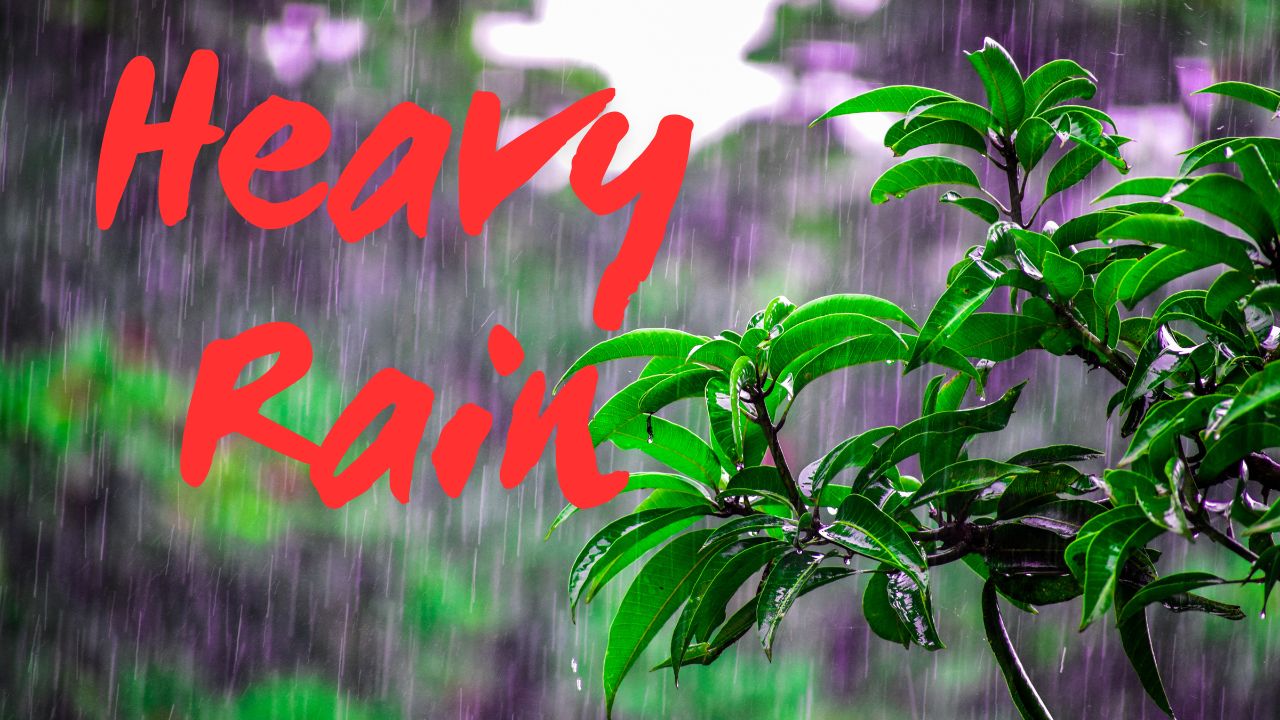
Tampa, FL – Residents across west-central Florida should prepare for a stormy stretch as daily thunderstorms and heavy rainfall are expected through Friday evening, raising concerns about localized flooding. Afternoon storms are likely to form inland before moving toward the Gulf Coast, potentially impacting evening commutes.
Storm Track and 2 Forecast
According to the National Weather Service Tampa Bay, showers will follow a east-to-west pattern, with rain chances reaching 80% in areas including Tampa, Lakeland, and Sarasota. Total rainfall through the weekend could reach 4 to 6 inches, with localized amounts higher in some communities.
Cities such as Brooksville, Sebring, and Fort Myers may experience repeated rounds of thunderstorms, while coastal areas could see heavier rain late in the day.
Flooding and Travel Impacts
The NWS warns that low-lying roads may flood, making travel hazardous, particularly during evening hours when downpours are expected to peak. Drivers are urged to exercise caution and seek alternate routes if flooding occurs.
Power outages are also possible where storms bring gusty winds and frequent lightning, so officials recommend charging devices and avoiding unnecessary travel during heavy rainfall NWS Tampa Bay.
Weekend Outlook and Safety Tips
The unsettled weather pattern is expected to continue through the weekend. Additional advisories or warnings may be issued if rainfall totals increase or storms intensify. Residents are encouraged to monitor weather updates and remain alert to changing conditions.
How are you preparing for the afternoon storms in Tampa Bay this week? Share your tips and experiences in the comments below.


