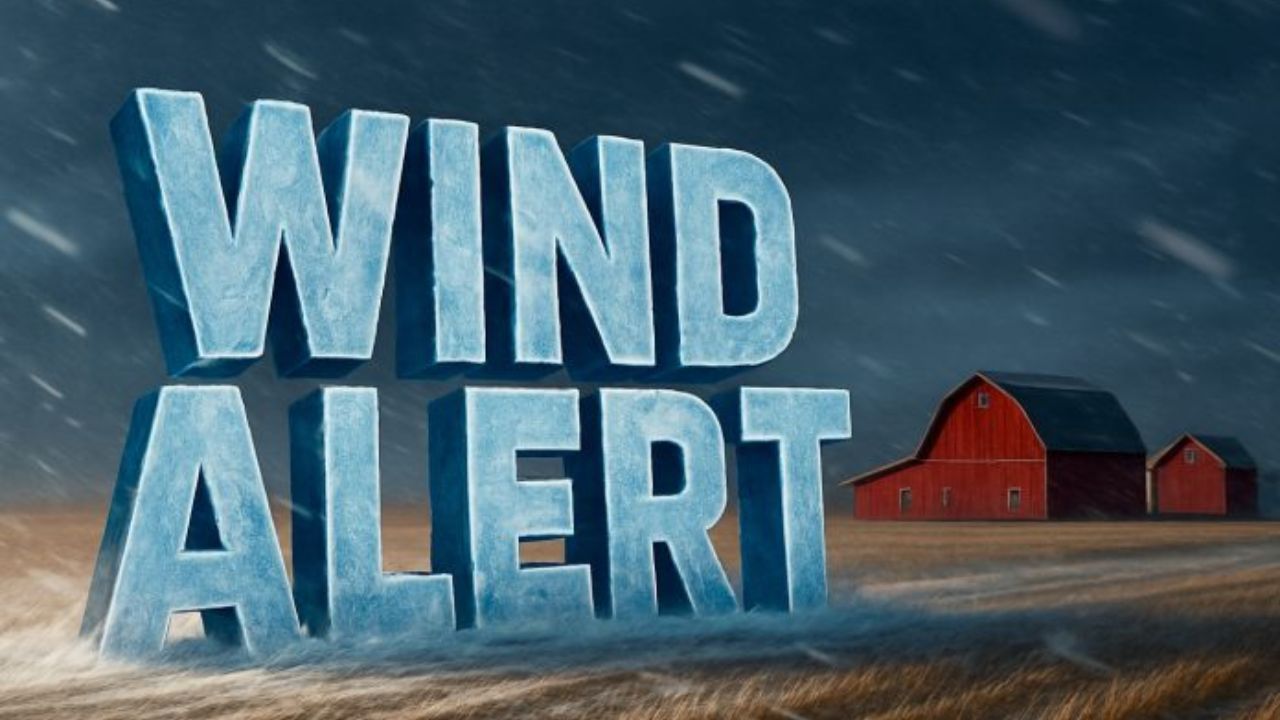
Albany, NY – Strong to potentially damaging winds are expected to impact eastern New York and western New England throughout Friday and into the overnight hours, prompting weather warnings and advisories across much of the region, according to the National Weather Service in Albany.
Forecasters say wind speeds will ramp up quickly through the morning, peak during the afternoon, and remain hazardous into late Friday night as a powerful weather system moves through and colder air surges in behind it. Officials are warning residents to prepare for possible power outages, hazardous travel conditions, and property damage.
Wind Warnings and Advisories in Effect
A High Wind Warning remains in effect until 1 a.m. Saturday for parts of the region expected to see the strongest conditions. These areas include the northern and central Taconics, the Berkshires, and Bennington County, Vermont, where wind gusts could reach 50 to 60 mph.
For the rest of eastern New York and western New England, including the Capital Region, Mohawk Valley, Hudson Valley, and portions of western Massachusetts, a Wind Advisory is in effect through 1 a.m. Saturday. In these locations, forecasters expect widespread gusts ranging from 40 to 50 mph, strong enough to cause localized damage.
Meteorologists emphasize that even advisory-level winds can pose significant risks, particularly in areas with saturated ground or weakened trees.
Timing and Peak Impact Periods
According to the National Weather Service, winds will strengthen steadily through the late morning hours, becoming more intense by midday. The strongest gusts are expected Friday afternoon and again Friday night, when the pressure gradient tightens behind the departing storm system.
Forecasters note that nighttime winds can be especially dangerous because damage may occur when visibility is reduced and residents are less likely to notice early warning signs such as leaning trees or swaying power lines.
Potential Impacts Across the Region
The anticipated wind speeds are capable of causing a range of impacts, including:
- Downed trees and large branches, particularly in wooded areas
- Power line damage, leading to scattered power outages
- Loose objects becoming airborne, such as trash bins, patio furniture, and holiday decorations
- Minor structural damage, including siding and roof shingles
Utility companies across the region are monitoring conditions closely and have crews on standby in case outages develop.
Travel Conditions and Safety Concerns
Travel may become difficult during periods of peak wind, especially for high-profile vehicles such as tractor-trailers, box trucks, RVs, and buses. North-south oriented roads and exposed highways are expected to be most affected.
Drivers may also encounter sudden gusts on bridges, overpasses, and elevated roadways, where wind speeds can be significantly stronger than at ground level. Falling debris and downed tree limbs could lead to temporary road closures or delays.
Officials advise motorists to reduce speed, keep both hands on the wheel, and allow extra distance between vehicles during gusty conditions.
Preparedness and Safety Recommendations
Residents are urged to take precautionary steps ahead of and during the wind event. Recommended actions include:
- Securing loose outdoor items such as furniture, decorations, and garbage cans
- Avoiding parking vehicles near trees or power lines
- Charging electronic devices in case of power interruptions
- Having flashlights and batteries readily available
- Checking on elderly neighbors or those with medical equipment that relies on electricity
Emergency officials stress that staying indoors during peak wind periods can reduce the risk of injury from flying debris.
What Comes Next
Winds are expected to gradually weaken after midnight as the system moves east, though breezy conditions may linger into early Saturday morning. Temperatures are forecast to drop behind the front, increasing the chill factor overnight.
Residents are encouraged to monitor local forecasts and updates from the National Weather Service as conditions evolve. Any changes to warning areas or timing will be issued as needed.
As the storm moves through, officials remind the public to report downed power lines to local authorities and utility providers and to avoid approaching them under any circumstances.
Share your experiences in the comments below.