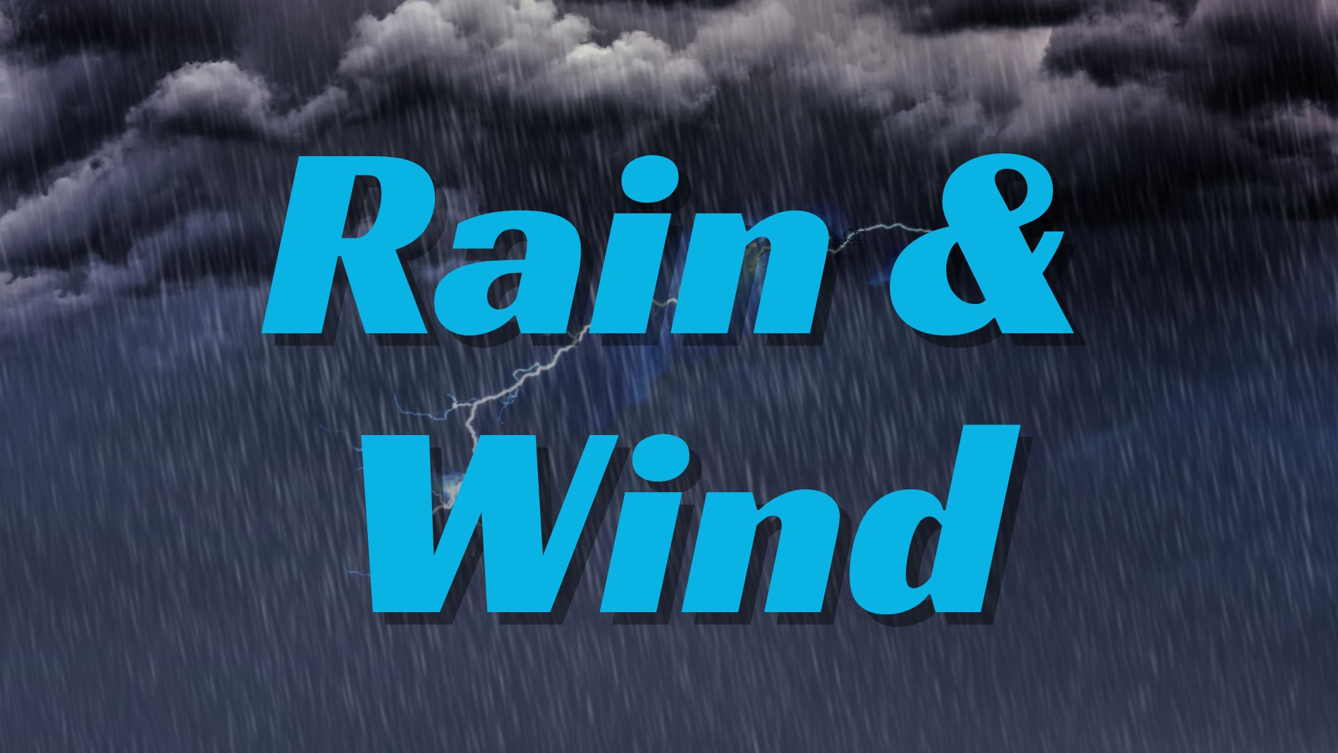
New York, NY – A powerful early-season winter storm is set to sweep across the region Tuesday, bringing heavy snow to areas north and west of New York City while leaving the city itself with mostly rain. Forecasters say some communities could see five to eight inches of accumulation, making it one of the first meaningful snowfalls of the season. The timing also raises concerns for the Tuesday morning commute, when the storm is expected to be at its peak.
Storm Overview
A December blast will usher in classic winter conditions for parts of the tri-state area. Meteorologists say the storm will track inland early Tuesday, delivering cold enough air for snow north of the city while warmer coastal temperatures keep New York City and Long Island on the rainy side of the system.
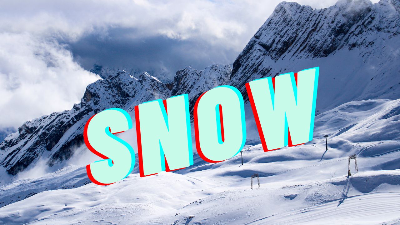
Communities in the mid-Hudson Valley and northwest New Jersey are currently positioned to receive the highest snow totals.
Expected Snow Totals by Region
Forecasters emphasize that the storm’s track could still shift, but current projections show a clear north-south divide. Snow lovers in elevated and inland zones will see the best chance of accumulation.
Projected snowfall:
- Mid-Hudson Valley: 5–8 inches
- Northwest New Jersey: 5–8 inches
- Northern suburbs: 2–4 inches
- New York City: Mainly rain with a slight chance of wet flakes
- South and east of NYC: Mostly rain, no significant accumulation expected
These amounts reflect the latest data issued by local forecasters and may change as the system approaches.
Tuesday Morning Commute Impact
The storm is expected to arrive just in time for the morning rush, raising the potential for slow traffic, slippery roads, and reduced visibility.
Snow is likely to begin before sunrise in areas north and west of New York City, intensifying through mid-morning. Rain will dominate the commute for those inside the city, with the possibility of brief mixes or wet flakes.
Officials advise drivers in snow-prone areas to leave extra travel time, watch for untreated roads, and prepare for changing conditions throughout the morning.
Weather Conditions in New York City
Despite the broader region preparing for a blast of winter, New York City will see a very different version of the storm. Warmer temperatures in and around the city will keep conditions primarily rainy.
A few isolated snowflakes may mix in, but no significant accumulation is expected in the five boroughs.
Clearing Just in Time for Rockefeller Center Tree Lighting
The wintry system will move out quickly by early Wednesday, helping set the stage for the widely anticipated Rockefeller Center Christmas Tree lighting. While the skies will clear, temperatures will remain cold, settling in the mid-30s around the time of the ceremony.
Guests attending the event should plan for brisk winter air despite the dry conditions.
What Happens After the Storm
Following Wednesday’s cold snap, temperatures are expected to remain below average for several days. Road crews in the Hudson Valley and northwest New Jersey are preparing for lingering slick spots, especially overnight when pavement temperatures fall.
Meteorologists say this storm could mark the start of a more active winter pattern for the Northeast, with additional systems possible later in December.
Stay Safe During Winter Weather
Even moderate snow can become dangerous when paired with heavy traffic. Experts recommend:
- Keeping shovels, ice melt, and winter gear on hand
- Driving slowly on snow-covered roads
- Watching for black ice in shaded areas and bridges
- Dressing in layers for cold commutes
These steps can help reduce the risk of injury and improve safety as winter conditions settle in.
Conclusion
A significant early-December storm is on the way, bringing heavy snow to parts of the region and rain to New York City. With up to eight inches possible north and west of the city, residents in those areas should prepare for a slow and slippery Tuesday morning. Conditions clear by Wednesday, but cold temperatures will stick around.
Share your experiences in the comments below.