St. Louis, MO – A quick burst of mild weather will give St. Louis residents a brief break from early-December cold before a sharp cooldown and a small chance of light snow return by Thursday, according to forecasters at the National Weather Service in St. Louis.
The week begins on a cold but relatively calm note, with partly cloudy skies and highs topping out around the upper 30s to near 40 across the metro. Overnight temperatures are expected to fall into the low to mid-20s, setting the stage for a noticeable warm-up.
Milder Air Arrives Tuesday
Forecasters say Tuesday will bring the warmest temperatures the region has seen since before Thanksgiving, thanks to a milder air mass moving in from the south. Highs are projected to reach the mid-40s to mid-50s, offering a short-lived stretch of more comfortable conditions for eastern Missouri and southwest Illinois.
Southerly winds and increasing sunshine are expected to help boost temperatures, giving the city a brief break from the winter chill.
Cooler Pattern Returns Wednesday
Clouds will thicken on Wednesday as colder air begins pushing into the Midwest. High temperatures will fall back into the low to mid-40s, with overnight lows dropping again into the 20s. The shift marks the start of a larger cooldown expected to dominate the second half of the week.
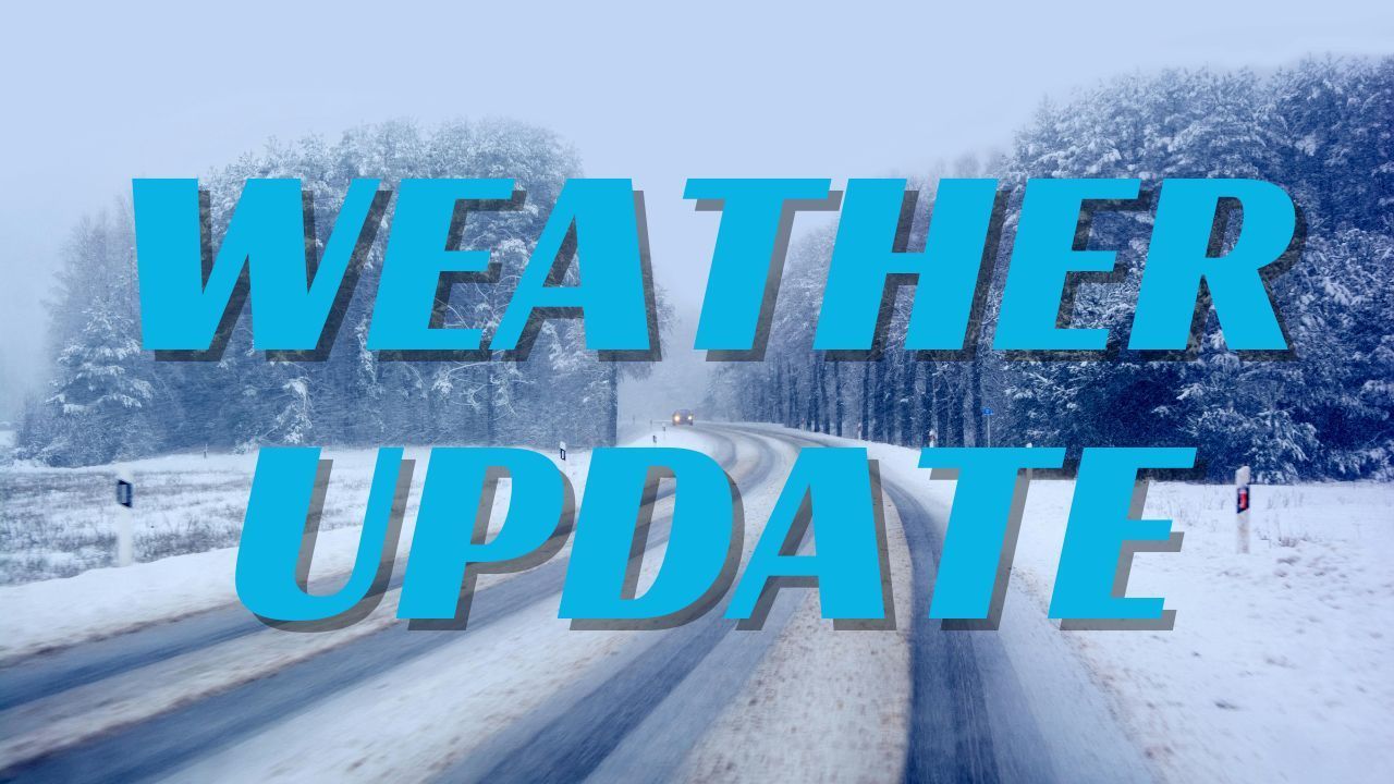
Light Snow Chance Thursday as Cold Air Deepens
By Thursday, a stronger surge of cold air settles over the region. The National Weather Service highlights a 20 percent chance of light snow, mainly during the earlier part of the day. At this time, any accumulation appears minimal, but forecasters note the possibility of slick spots, especially if snow mixes with colder pavement surfaces.
Daytime temperatures on Thursday are expected to stay in the low to mid-30s, reinforcing the return to a more wintry pattern.
Coldest Stretch of the Week Arrives Friday Into the Weekend
Even colder air is set to arrive Friday and continue through the weekend. High temperatures will likely remain in the 30s, while overnight lows fall into the teens to lower 20s across much of the metro.
These readings reflect a typical early-December pattern for the St. Louis region, where brief warm periods are often followed by sharp drops in temperature.
What Residents Should Keep in Mind
With a mild Tuesday followed by a steep cool-down and a slight chance of snow, residents should stay alert for changing conditions. Morning and evening commuters should pay close attention to updated forecasts, especially Thursday when light snow could create isolated slick spots.
Whether preparing for milder air or bundling back up for late-week cold, keeping an eye on shifting weather patterns will help residents stay ready for the rapid changes common this time of year.
Share your experience with this week’s weather in the comments below.