St. Louis, MO – Residents of St. Louis and surrounding areas are bracing for continued warm temperatures, with highs expected to reach the upper 80s through midweek. While most of Missouri will remain dry, some regions in Illinois could see isolated thunderstorms this afternoon.
Warm Weather Persists Across the Region
The National Weather Service (NWS) in St. Louis reports that daily highs are projected between 85 and 89 degrees, with overnight lows staying mild, ranging from the mid-60s to low 70s. This unseasonably warm stretch is expected to continue into the middle of the week, giving residents plenty of sunny afternoons for outdoor activities.
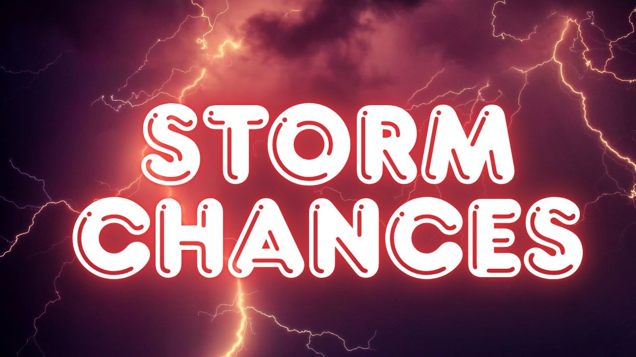
Isolated Thunderstorm Chances in Illinois
Forecasters warn that west-central Illinois faces a 20% chance of isolated showers and thunderstorms later today. While the risk is spotty and widespread rainfall is not anticipated, travelers and those planning outdoor activities should remain cautious. Brief storms could briefly impact local roads and outdoor events.
Fall Foliage and Outdoor Activities
As fall colors begin to emerge across the region, St. Louis and surrounding communities will enjoy warm, sunny afternoons ideal for hikes, walks, and other outdoor activities. However, weather experts advise staying alert for sudden localized storms, especially in parts of Illinois where thunderstorm chances are higher.
Stay Updated With Local Forecasts
Weather conditions can shift quickly. The National Weather Service recommends checking local forecasts regularly for the most accurate updates. Residents can visit weather.gov for real-time information in their area.
Share your weather experiences in the comments below and let us know how the warm fall days are affecting your outdoor plans in St. Louis.