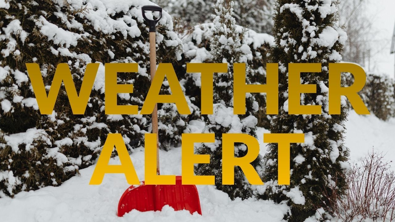
St. Louis, MO – A sharp swing in temperatures will shape the weather pattern across the metro this week, starting with a brief warm-up before another cold push and a chance for light snow by Thursday night. After a frosty start in the 20s Monday morning, skies are expected to gradually clear, setting the stage for a noticeable rise in temperatures over the next 48 hours.
Warming Trend Peaks Tuesday Before Pattern Flips Again
Forecasters at the National Weather Service in St. Louis report that drier air arriving Monday will help thin the cloud cover, allowing temperatures to rebound to around 34°F by the afternoon. Winds remain light and conditions calm, but a shift in the upper-level pattern brings quick changes.
By Tuesday, a southerly flow will usher in warmer air, pushing highs into the low 50s, a significant departure from the deep chill that opened the week. This mild stretch continues into Wednesday, with temperatures expected to reach the upper 40s, giving residents a brief taste of springlike relief.
Another Cold Front Arrives With a Chance of Light Snow
A colder air mass from the northwest is set to move in late Wednesday night, ending the warm spell and reintroducing wintry concerns. The weather service notes a 20 percent chance of snow Thursday, primarily for areas north and west of St. Louis. However, forecasters caution that flurries could drift toward the I-70 corridor and downtown by evening as colder air deepens over the region.
As temperatures fall through the 30s Thursday night, moisture on roads may freeze, creating the potential for patchy black ice, especially on elevated surfaces such as bridges and untreated side streets. Drivers heading out early Friday should use caution.
Weekend Brings Another Taste of Mid-Winter
Cold air settles in firmly for the weekend, with highs only in the upper 20s to low 30s. Friday and Saturday mornings could dip into the teens, marking yet another early-season cold snap in what has already been a roller-coaster December.
Why These Quick Weather Swings Are Common in December
Meteorologists say this week’s pattern reflects a classic December setup in the Midwest, where Arctic air from the northern plains frequently clashes with milder southern flow. This tug-of-war often results in rapid temperature swings, brief warm-ups, and the potential for sudden bursts of snow — even when conditions seem calm just days before.
St. Louis residents are encouraged to keep a close watch on updated forecasts as the late-week system develops. Even small shifts in track or timing could influence where snow falls and how much cold air arrives behind the front.
What Residents Should Keep in Mind
- Expect a quick warm-up Tuesday and Wednesday before temperatures drop sharply.
- Light snow is possible Thursday, mainly north and west of the metro, but flurries may drift into central St. Louis.
- Be alert for slick spots Thursday night into Friday morning.
- Plan for a cold weekend with highs struggling to reach the freezing mark.
If you live in the St. Louis area, share what temperatures are looking like in your neighborhood in the comments below.