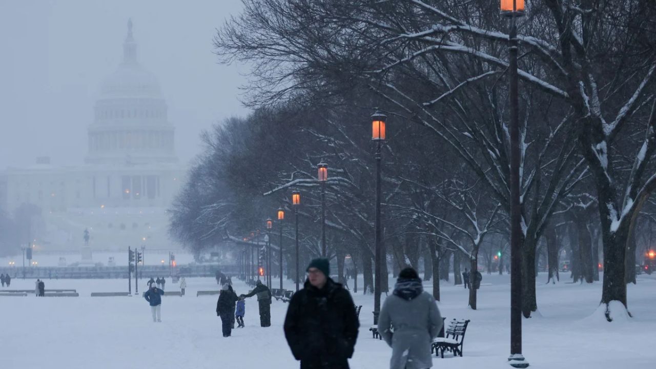
Detroit, MI – Southeast Michigan residents are in for a blustery stretch of weather as a strong cold front moves through the region, bringing gusty winds, rain showers, and the first hints of wintry air by the weekend. The system is expected to deliver winds near 40 mph, a drop in temperatures, and a potential rain-to-snow mix for some areas before Veterans Day.
The Incident: Cold Front Sweeps Across Michigan
According to the National Weather Service in Detroit/Pontiac, a fast-moving cold front will cross the region late Wednesday, bringing west-northwest wind gusts up to 40 mph. These winds could create hazardous travel conditions for high-profile vehicles, particularly along I-94 and I-75.
Forecasters say temperatures will briefly reach the lower 60s before falling sharply behind the front. By Wednesday evening, cooler and wetter conditions will dominate much of southeast Michigan.
“Motorists should use caution in open and elevated areas,” the weather service advised. “Gusts may reach 35–40 mph during the afternoon and early evening.”
Forecast Details: Midweek Winds and Late-Week Rain
Thursday will bring a brief break from the wind and rain as sunshine returns, with highs around 52°F — typical for early November. However, the calm conditions won’t last long.
By Friday, a new system will bring rain showers beginning midday and lasting through Friday night. Forecasters expect light rainfall totals, though some areas could experience heavier bursts during the afternoon and evening.
As the front moves through, southerly winds will shift northwest again, drawing in cooler Great Lakes air. By Saturday, temperatures will hover in the upper 40s, with a few drizzly patches or scattered sprinkles possible, mainly north of Detroit.
Weekend Outlook: Cooler Air and First Rain-to-Snow Mix
By Sunday, meteorologists say residents could see the first rain-to-snow mix of the season — particularly across outlying suburbs north of I-69 and west toward Howell and Flint.
While no snow accumulation is expected yet, the mix marks the transition toward Michigan’s winter pattern as cold air settles in from the Upper Great Lakes.
“It’s a classic November setup,” said a Detroit meteorologist. “We’re not looking at major snow yet, but this weekend is the first real hint that winter is on the way.”
Background Context: Transition to November Chill
The upcoming chill follows an unusually mild start to November, with temperatures earlier this week topping 60°F. Forecasters say the new pattern signals the end of fall’s warm stretch, as cooler, unsettled weather sets in for much of the Great Lakes region.
This shift is expected to continue into next week, with daytime highs mainly in the 40s and overnight lows dipping into the upper 20s to low 30s — the coldest readings since early spring.
Ongoing Developments and What to Expect
Residents should prepare for blustery travel through Friday, secure loose outdoor items, and bundle up for brisk, damp conditions heading into the weekend.
Meteorologists say another strong system could arrive next week, bringing the possibility of a more widespread rain-snow event if cold air deepens across the region.
Five-Day Forecast for Detroit, MI
- Wednesday: 61°F / 34°F – Breezy; brief showers, gusts up to 40 mph.
- Thursday: 52°F / 41°F – Sunny, calm, mild fall day.
- Friday: 58°F / 38°F – Rain develops midday; breezy late.
- Saturday: 48°F / 34°F – Partly sunny, cooler; drizzle possible north.
- Sunday: 43°F / 29°F – Chance of rain/snow mix; colder air arrives.
Conclusion
Southeast Michigan’s weather is shifting toward a cooler, more unsettled pattern, with gusty winds, scattered rain, and even a hint of snowflakes possible by Sunday. It’s a clear reminder that winter is on the horizon, and residents should get ready for colder days ahead.
What do you think about the early signs of winter in Michigan? Share your thoughts and local weather updates in the comments below.


