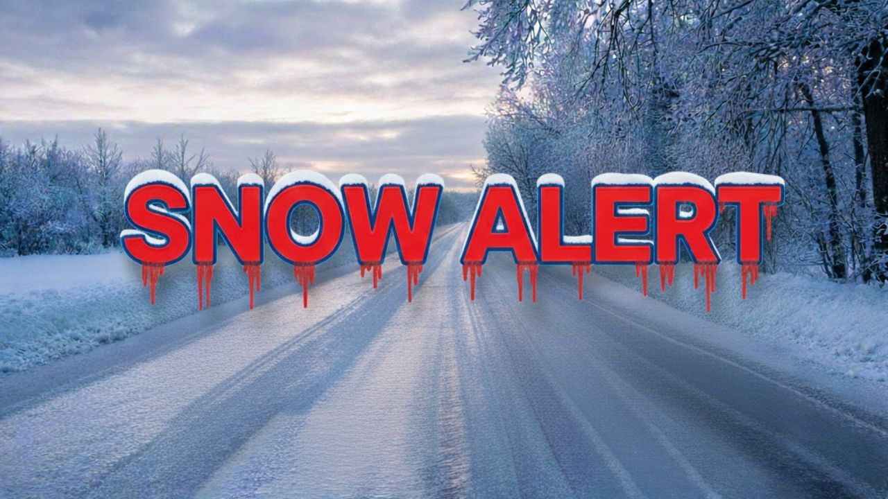
Detroit, Michigan – Southeast Michigan is facing a stretch of winter weather that could make travel hazardous through midweek, as multiple rounds of snow and sharply colder air move into the region, according to the National Weather Service.
Forecasters say a fast-moving system will bring light but impactful snowfall beginning Tuesday evening, followed by another snow event on Wednesday and a significant drop in temperatures as Arctic air settles over the area.
Snow Expected Tonight Across Metro Detroit
The first round of snow is expected to develop Tuesday evening and continue overnight. Meteorologists say a clipper system moving through the Great Lakes will bring 1 to 2 inches of snow across Detroit and surrounding communities.
While snowfall totals are not expected to be heavy, the timing could create slick conditions.
Roads may become snow-covered during overnight and early morning travel, especially as temperatures remain well below freezing. Cold pavement will allow snow to accumulate quickly, even with lighter precipitation rates.
Current Conditions and Setup
As of early Tuesday, temperatures in the Detroit area were hovering around 21 degrees, with overcast skies and light winds. These cold conditions increase the risk of icy roads once snow begins to fall.
Forecasters note that even modest snowfall amounts can have an outsized impact when temperatures are this low, particularly on untreated roadways, bridges, and overpasses.
Another Snow System Arrives Wednesday
Residents should not expect a quick break from winter weather.
Another round of snow is forecast for Wednesday afternoon into the evening, as an Arctic cold front sweeps through southeast Michigan. This system could deliver an additional 1 to 2 inches of snow, with the most significant impacts likely during the Wednesday commute.
Repeated snow events over a short period may compound travel difficulties, even though individual snowfall totals remain relatively low.
Arctic Cold to Follow Snowfall
Behind Wednesday’s cold front, temperatures are expected to plunge sharply.
Forecasters warn that wind chills could fall to near or below zero by early New Year’s Day. Gusty winds moving in behind the front will enhance the cold, increasing the risk of frostbite for anyone exposed outdoors for extended periods.
Officials urge residents to take cold-weather precautions, especially those who must work or travel outside.
Travel and Safety Precautions
Drivers are advised to take extra care during both snow events. Officials recommend slowing down, increasing following distance, and allowing extra time to reach destinations. Rapidly changing road conditions are possible, especially Wednesday afternoon and evening.
Pedestrians should dress in warm layers, cover exposed skin, and limit time outdoors during the coldest periods. Checking on elderly neighbors and ensuring pets have adequate shelter is also encouraged.
Advisories and What to Expect Next
At this time, no spotter activation is anticipated, but forecasters say Winter Weather Advisories could be issued if snowfall coverage or impacts increase.
Conditions are expected to gradually improve later Thursday as snowfall tapers off, though cold temperatures will persist across southeast Michigan.
Stay Updated
Weather officials stress that forecast details may change as systems move closer to the region. Residents are encouraged to closely monitor updates and alerts from the National Weather Service throughout the week.
Share your experiences in the comments below.