Miami, Fla. – South Florida is bracing for a stormy stretch that is expected to continue through early next week, bringing heavy rain, frequent lightning, and potential flooding to the region. With highs holding steady near 88 degrees, these daily thunderstorms are likely to impact weekend activities and evening commutes significantly.
According to the National Weather Service in Miami, these storms will initiate early Saturday and continue through each afternoon and evening, with the most intense activity forecasted after 5 p.m. Southeast winds of 6 to 10 mph will likely move storms inland, causing localized rainfall accumulations up to an inch per day.
Persistent Storm Conditions and Safety Concerns
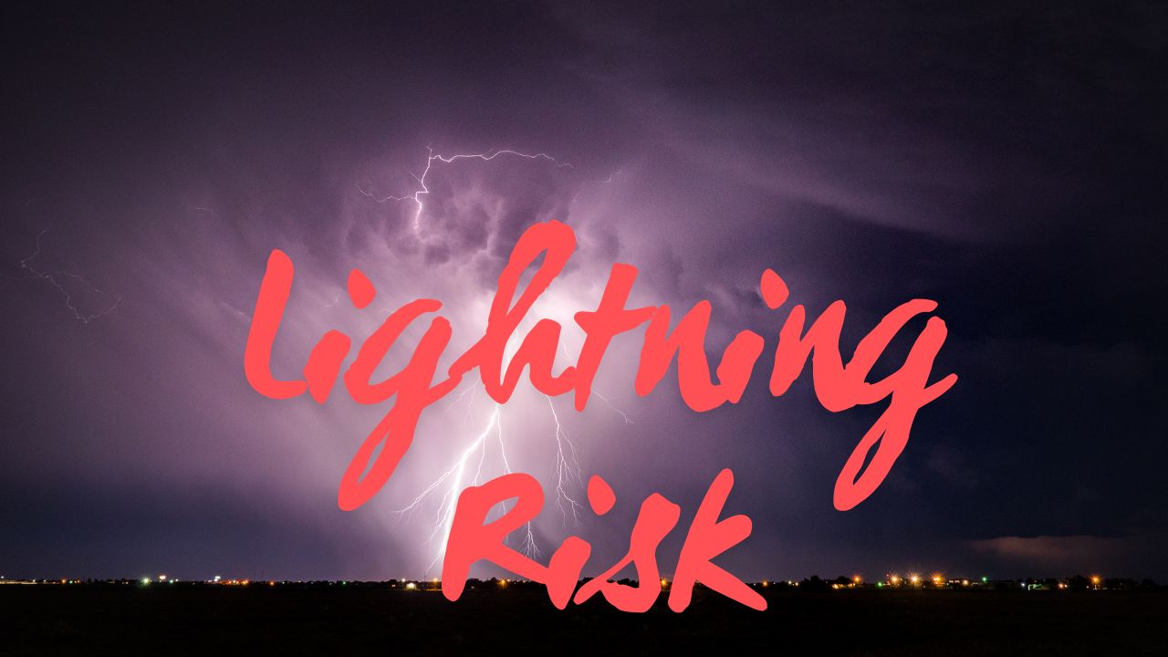
Residents within Miami-Dade and Broward counties should stay alert for hazardous conditions such as sudden road ponding, decreased visibility, and possible flight delays at Miami International Airport. Lightning poses a serious danger, especially along the beaches, where swimmers and boaters must exit the water promptly during storm occurrences.
The Florida Department of Transportation has issued advisories encouraging drivers to reduce speed and avoid flooded intersections, warning that vehicles can stall quickly in standing water.
“With storm chances remaining high through Tuesday, preparedness is key to staying safe amid frequent lightning and heavy rainfall,” explained a meteorologist at the National Weather Service.
Daily Outlook: What South Florida Can Expect This Week
South Floridians can anticipate continued wet weather with recurring thunderstorms and significant downpours over the next several days. The five-day forecast for Miami details the expected conditions:
- Saturday: High near 88°F; storms likely especially after 5 p.m.; 80% chance of rain.
- Sunday: Thunderstorms expected after 11 a.m.; high near 88°F; 80% chance of rain.
- Monday: Showers and storms anticipated; high near 88°F; 80% chance of rain.
- Tuesday: Thunderstorms likely; high near 88°F; 70% chance of rain.
- Wednesday: Partly sunny with a 60% chance of storms; high near 88°F.
Preparing for Impact and Looking Ahead
As the region navigates through this stormy period, residents should remain vigilant and take precautions to stay safe amid lightning strikes and flood-prone roads. Emergency and transportation agencies continue to monitor conditions closely and will issue new advisories as necessary.
Key Facts:
- Storms starting early Saturday and persisting through Tuesday.
- Frequent lightning posing risks especially on beaches.
- Heavy rainfall may cause road flooding and disrupt commutes.
- High temperatures steady near 88°F throughout this period.
- Advisories emphasize cautious driving and avoiding flooded areas.
Stay Safe and Share Your Experience
What do you think about the ongoing stormy weather in South Florida? How are you preparing for the daily downpours and lightning threats? Share your thoughts and tips in the comments below.