United States – As the calendar turns from 2025 to 2026, much of the record warmth and heavy rain seen across the Central, Southern, and Western states is expected to ease. However, snow and persistent cold across parts of the Midwest, Great Lakes, and Northeast could still pose challenges for travelers and outdoor celebrations as the New Year begins, according to forecasts from AccuWeather.
Snowy Corridor From the Midwest to the Northeast
Forecasters say most of the country will experience relatively calm weather for New Year’s Eve celebrations, but a notable exception remains across the northern tier.
“A majority of the nation can expect relatively quiet conditions for New Year’s Eve festivities,” said AccuWeather meteorologist Brandon Buckingham. “However, a zone to watch for snowy conditions and the potential for slick travel will likely span from the Upper Midwest to the Great Lakes and Northeast.”
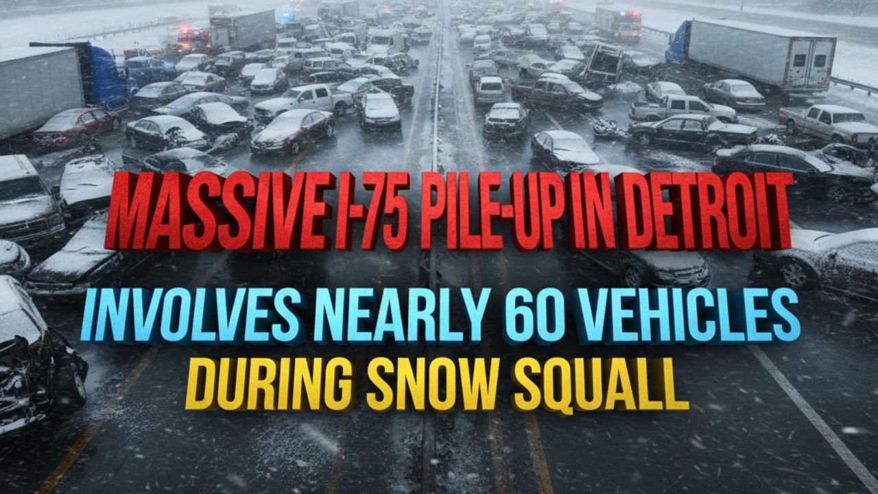
That region has already dealt with repeated rounds of snow and cold this winter, and more is expected as 2025 comes to a close.
Storm System Brings Fresh Snow and Reinforcing Cold
A storm moving south from Canada between New Year’s Eve and New Year’s Day is forecast to deliver accumulating snow along with another surge of Arctic air.
“A storm sliding in from Canada between New Year’s Eve and New Year’s Day is expected to usher in accumulating snow and a reinforcing shot of cold air across the Midwest, Great Lakes and Northeast,” Buckingham said.
Several inches of snow could accumulate, depending on the storm’s exact track and speed. Current projections suggest areas from the Great Lakes through New England could see the most significant impacts, with snowfall potentially lingering into New Year’s Day.
Cold Temperatures and Travel Concerns
Behind the storm, Arctic air is expected to keep temperatures locked in the teens and 20s across much of the northern U.S. In New York City, early forecasts for Times Square show temperatures hovering near the freezing mark as the New Year’s ball drops.
For travelers, this combination of snow and cold could mean delays, particularly in areas with heavier snowfall where slick roads, reduced visibility, and icy runways are possible.
West Coast Pattern Begins to Calm
After weeks of soaking rain and mountain snow caused by repeated atmospheric rivers, conditions along the West Coast are expected to quiet down as high pressure builds toward the end of the year.
A storm system spinning in the Pacific near Mexico could still bring clouds and scattered showers to parts of Oregon, California, and the Southwest around New Year’s Day, but forecasters say it does not appear to be a major atmospheric river event.
Monitoring Winds in Southern California
Meteorologists are also watching for the possibility of offshore winds in Southern California during the final days of 2025.
“Conditions will be monitored for a possible Santa Ana wind event across Southern California,” Buckingham said. “Fortunately, due to all the recent rain, the risk for wildfires is expected to be minimal despite the chance for windy conditions.”
Mostly Smooth Weather Elsewhere
Outside of snow in the Great Lakes and Northeast, a few showers in the Northwest, and gusty winds in parts of Southern California, New Year’s celebrations across most of the country are expected to proceed without major weather disruptions.
Large areas of high pressure over the Rockies and Southeast will bring dry conditions. While temperatures may not reach the unseasonable levels seen around Christmas, readings across the Rockies and Plains are still expected to run above historical averages.
Cold Likely to Linger Into January
The chill gripping parts of the Midwest and Northeast is not expected to fade quickly. Forecasts indicate that additional cold fronts from Canada could reinforce below-average temperatures well into the first full week of January, extending winter’s grip beyond the holiday period.