New York, N.Y. – Winter’s snow machine is ramping up across the Northeast and Great Lakes this week as multiple storm systems move through the region, bringing repeated rounds of snow, plunging temperatures, and dangerous wind chills. Forecasters say Arctic air surging south will make conditions feel especially harsh for millions across the eastern half of the United States, according to weather models tracking the evolving pattern.
First Snow System Targets Midwest and Great Lakes
The first system is expected to dive into parts of the Midwest and Great Lakes from Tuesday into Wednesday. This initial round will deliver a quick burst of snow to the upper Midwest before spreading into the Great Lakes region.
By Thursday, lingering snow is forecast to extend into interior portions of New England. The heaviest accumulations are likely to occur downwind of the Great Lakes, where lake-effect snow bands typically enhance totals.
Some areas of the Appalachians could also see respectable snowfall, adding to what is shaping up to be an active winter stretch.
Snow Totals and Areas Most Affected
More widespread snowfall amounts with this first system are expected to range between 1 and 3 inches, stretching from the Midwest through the Ohio Valley and into interior New England.
Forecast models currently keep this round of snow well away from the I-95 corridor, meaning major coastal cities such as Washington, D.C., Philadelphia, New York City, and Boston are unlikely to see significant impacts from the initial system.
Uncertainty Around a Possible Coastal Storm
Meteorologists have been closely watching the potential for a coastal low to develop off the Northeast later in the week. Models have gone back and forth on this scenario, but at this time, forecasters say the chances of a significant coastal storm on Friday appear unlikely.
Despite that uncertainty, confidence remains high that the overall pattern will continue to support additional snow, very cold air, and strong winds across much of the region.
Second System Could Bring More Snow Late Week
Another system is expected to arrive in the Midwest and Great Lakes on Thursday before pushing eastward. Many of the same locations impacted by the first system may see additional snowfall, further increasing accumulations.
As this second system potentially reaches the Northeast and New England late Friday into Saturday, there is a chance that the I-95 corridor could see accumulating snow. If that happens, it could lead to messy driving conditions and possible airport delays.
Forecasters caution that it is still too early to determine exact snow totals, as models are still aligning on the storm’s track and intensity.
Lingering Snow and Bitter Cold Likely
Even after the main systems move through, some lingering snow showers could persist across parts of the Northeast into Sunday.
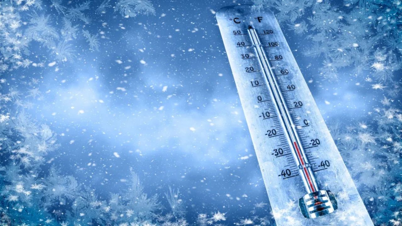
What is more certain is the cold. Temperatures are expected to drop sharply, with highs on Thursday in the teens across the Great Lakes, 20s in the Ohio Valley, and low 30s or colder across parts of the Southeast. Combined with strong winds, wind chill values could reach dangerous levels, especially in exposed areas.
Residents across the affected regions are advised to prepare for winter travel challenges and take precautions against the extreme cold as this active pattern unfolds.