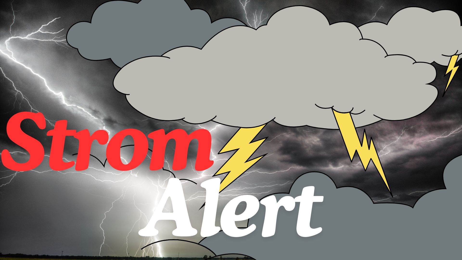
Baltimore, MD – A First Alert Weather Day has been issued for Saturday afternoon as a strong cold front sweeps into Maryland, bringing the risk of strong to severe thunderstorms across the Baltimore metro area. Residents are urged to monitor conditions closely and plan for potential travel disruptions.
Storm Timing and Threats
Meteorologists report that storms will develop to the west by midday, moving into the Baltimore area between 3 and 8 p.m. This timing coincides with the late afternoon commute and early evening activities, creating possible hazards for drivers and outdoor plans.
The storms are expected to be fast-moving but potentially powerful, with the main threat being damaging wind gusts capable of knocking down trees, power lines, and outdoor structures. A few cells could also produce hail, while tornadoes remain unlikely, though a brief isolated spin-up cannot be completely ruled out.
Northeast Maryland at Slightly Higher Risk
The Storm Prediction Center has identified Harford and Cecil counties as being at slightly higher risk for severe storms. While the entire Baltimore metro area remains at risk, this designation highlights the potential for storms to maintain strength as they move into northeast Maryland.
Residents in Baltimore City and surrounding counties should remain vigilant and avoid taking the threat lightly.
Muggy and Unsettled Conditions Ahead of the Front
Before the cold front arrives, Saturday is expected to be hot and sticky, with highs in the upper 80s to near 90°F and dew points around 70. This combination of heat and humidity provides ample fuel for storms to intensify as the front pushes through the region.
What Happens After the Front
Once the storms clear Saturday evening, winds will shift northwest, bringing cooler, drier air to the area. Sunday is expected to feel refreshingly fall-like, with highs in the low to mid-70s and overnight lows dipping into the 50s, while some suburbs may see temperatures drop into the 40s.
The calmer, drier conditions will offer a sharp contrast to the afternoon storms, giving residents a chance to enjoy a comfortable Sunday outdoors.
A Fall Preview Next Week
Looking ahead, Canadian high pressure is expected to dominate Maryland’s weather, keeping the pattern stable and sunny. Daytime highs in the low to mid-70s and crisp mornings with lows in the 40s and 50s will make for several days of dry, comfortable, fall-like conditions, providing a welcome break after Saturday’s stormy weather.
Stay Weather Aware
Residents across the Baltimore metro area are encouraged to secure outdoor furniture and plan for potential brief power outages caused by damaging winds. Monitoring updates throughout the day is advised to stay informed on changing conditions.
With preparation, Marylanders can safely navigate the stormy Saturday afternoon and enjoy beautiful, fall-like weather in the days following.
Share your experiences and storm preparations in the comments below and stay tuned for real-time updates throughout the day.