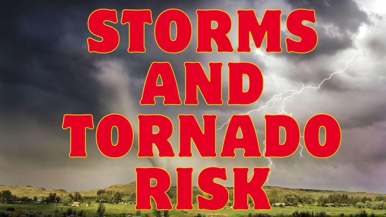
Grand Forks, ND – Strong storms capable of producing destructive winds, large hail, and even isolated tornadoes are expected to sweep across western North Dakota and eastern Montana Thursday evening, continuing into the early hours of Friday morning.
Widespread Severe Weather Threat Into Thursday Night
According to the National Weather Service in Grand Forks, storms will likely develop in eastern Montana and western North Dakota by late Thursday. The most severe weather is forecast to impact areas between Williston and Valley City, with potential for wind gusts exceeding 75 mph.
Forecasters warn that such gusts could topple trees, down power lines, and disrupt travel along major highways, particularly Interstate 94. Visibility may be reduced and debris could create hazardous driving conditions.
Large Hail and Tornado Risk Also Possible
While damaging winds remain the primary threat, the storm system may also produce hail up to the size of golf balls in some areas. Meteorologists emphasized that while the tornado threat is low, it is not zero — a few brief tornadoes could develop as part of the severe system.
“This is a volatile environment,” one NWS forecaster said. “Residents should remain weather-aware and have multiple ways to receive warnings, especially overnight.”
Cities Urged to Prepare: Grand Forks, Minot, Bismarck, Fargo
The alert includes several major cities, including Grand Forks, Minot, Bismarck, and Fargo, where residents are advised to take precautionary steps ahead of the approaching storm.
Officials recommend the following:
- Secure loose outdoor items
- Charge mobile devices
- Review emergency plans
- Stay indoors during warnings
Power outages are likely in areas where wind damage is extensive.
Storm Timeline and Ongoing Alerts
The severe weather threat is expected to linger through early Friday, with the storm system moving eastward overnight. The National Weather Service may issue additional warnings or tornado watches depending on how the system evolves.
Residents across North Dakota and eastern Montana are encouraged to follow local weather alerts, check forecasts frequently, and avoid unnecessary travel until the storm passes.
How are you preparing for tonight’s storms? Share your thoughts and local conditions in the comments below. For updates, visit Latestsports.online.


