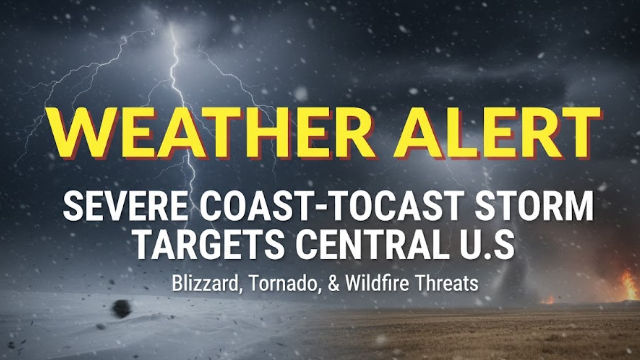
Denver, Colorado – A powerful storm that tore across both coasts this week is now shifting into the heart of the country, bringing a dangerous mix of blizzard conditions, destructive thunderstorms, tornado risks, and explosive wildfire potential. Forecasters warn that more than 150 million people across 30 states could face hazardous weather through the weekend as the system evolves.
The sweeping pattern has already delivered feet of mountain snow, flash flooding, and rare winter tornadoes. Now, the nation’s midsection sits squarely in its path, prompting urgent alerts from the National Weather Service.
What Forecasters Expect in the Coming Days
The storm’s impacts will unfold in multiple phases, each bringing its own hazards to large swaths of the country. According to the National Weather Service forecast, the system is producing showers and severe thunderstorms across the central and southern Plains, with expanding snow and wind on its backside.
Meteorologists say the environment is primed for significant tornadoes, damaging winds, and large hail, while the Sierra Nevada continues to receive heavy snowfall after some locations picked up nearly three feet earlier this week.
AccuWeather’s chief meteorologist Jon Porter described the system as unusually dangerous, noting it brings “multiple life-threatening hazards, from fires and dust storms to tornadoes and flooding rainfall,” placing millions at risk from Friday into Sunday.
Blizzard Conditions Build Across the Northern Plains
On the cold side of the storm, heavy snow combined with wind gusts near 70 mph will produce whiteout conditions across the northern Plains. Travel may become impossible in some areas as the system intensifies through Saturday.
Communities across the Dakotas, Montana, and northern Nebraska are bracing for blizzard warnings, with forecasters cautioning that visibility may drop to near zero for extended periods.
Widespread Severe Weather Threat for the Midwest and South
As the storm advances eastward on Saturday and Sunday, severe thunderstorms are expected to erupt across the Ohio, Tennessee, and lower Mississippi valleys as well as parts of the Southeast. The National Weather Service warns of the potential for EF2 to EF5 tornadoes, along with damaging straight-line winds and large hail.
Many of these regions have already been pummeled by multiple rounds of severe weather this winter, raising concerns about storm fatigue and reduced preparedness.
Forecasters say the Southeast will remain under a heightened severe-risk zone through most of the weekend, while heavy rain and high winds begin affecting the mid-Atlantic and Northeast by Sunday.
Elevated Wildfire Danger in the Southern Plains
Behind the storm’s cold front, extremely dry air, high winds, and low humidity are combining to produce critical fire weather conditions across the southern Plains.
The National Weather Service warns that “significant, dangerous wildfire-spread conditions are expected,” with the potential for a wildfire outbreak across parts of Texas, Oklahoma, and western Kansas.
By Friday afternoon, multiple wildfires had already been reported in north Texas. Local stations, including KFDA-10 in Amarillo, confirmed evacuations in Alanreed and Lake Tanglewood as flames pushed toward populated areas. Texas A&M Forest Service crews responded to a fast-moving 500-acre fire in Roberts County, which forced the closure of Highway 70.
Forecasters also caution that dust storms may form in parts of the region. One National Weather Service forecaster in Albuquerque warned this could be the worst dust storm of the year so far.
Tornadoes Already Reported in Multiple States This Week
The same storm system has already produced several tornadoes across the country. Early Thursday, a rare winter tornado touched down in Pico Rivera in East Los Angeles, bringing peak winds of 85 mph. According to reporting from the Los Angeles Times, the EF-0 tornado damaged homes and downed trees as heavy rain triggered evacuation warnings in nearby burn-scar areas.
Earlier in the week, a tornado struck near Orlando, Florida, destroying homes and hitting WOFL-TV during a live broadcast. Meteorologist Brooks Garner realized the tornado was overhead and urged the studio to take shelter as debris struck the roof.
“Get to your safe space under your desk. We’re catching debris right now on the roof. This is a tornado,” Garner announced live on air.
The station reported minimal damage, and no injuries were recorded. A preliminary survey indicated the tornado briefly intensified to EF-2 strength, with winds estimated near 115 mph.
Winter Storms Continue a Season of Weather Extremes
This latest system adds to a turbulent winter that has featured atmospheric river events in the West, severe storms in the South, early-season blizzards, and unusual tornado activity. More rounds of disruptive weather are likely in the coming weeks as patterns remain active across much of the country.
Emergency officials are urging residents in affected regions to review their severe weather plans, monitor alerts, and stay prepared for rapid changes.
Stay Safe and Share Your Experience
If you’re in an area impacted by this storm, stay aware of local alerts and avoid travel during high-risk periods. Share your weather updates or storm experiences in the comments below.