Thunderstorms and sporadic showers are still moving north throughout southeast Texas. After dark, the likelihood of storms will decrease.
Friday will begin warm and muggy, with highs in the seventies. Showers along the coast are possible. Isolated storms could occur inland as the afternoon wears on. Otherwise, as the Saharan dust slowly travels east out of SE Texas, it will be another hot and dusty day. The humidity makes it feel like 100 degrees even if the high is in the lower 90s.
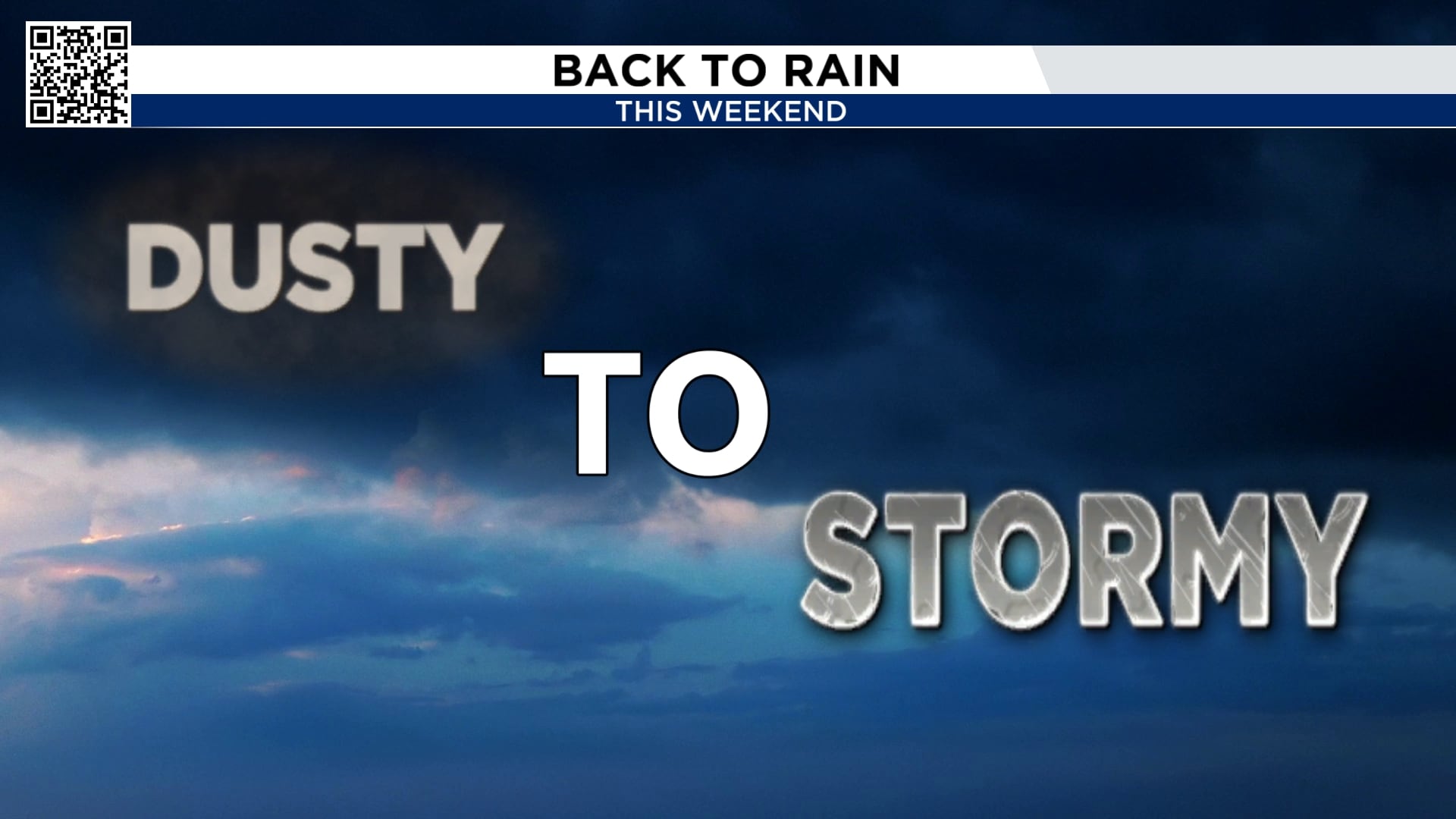
As tropical moisture flows back in, the likelihood of rain will start to increase again on Saturday and Sunday. Widespread thunderstorms are expected to be triggered by this on Saturday and Sunday afternoon.
Start as early as you can if you want to play golf, pickleball, or any other outdoor game! After 1 PM, storms intensify.
Over the next seven days, no tropical activity is anticipated.
This hurricane season, be sure your family is equipped to handle any situation that may arise.
In a week and a half, there are signs that a storm might attempt to form in the northern Gulf. That is July 19, a Saturday. We’ll watch it for you; the odds are 10%.
Storms are likely to occur virtually every day, and next week’s weather pattern may be a little dryer. Although we haven’t experienced this type of summer weather pattern in a few years, this is what Houston’s typical summer pattern looks like.
With temperatures in the lower to mid-90s, there is a daily risk of storms. Due to drought and an exceptionally dry weather trend, we have seen triple-digit heat during the past few summers.
See Our Email Newsletter for More Stories Like This One