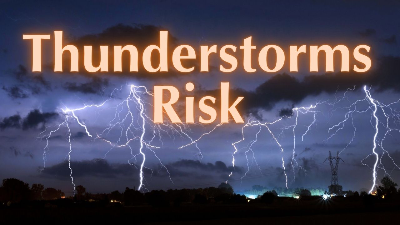
Grand Forks, ND – Residents across the northern Red River Valley should prepare for a heightened chance of storms tonight as a developing low-level jet pushes thunderstorm chances into northeast North Dakota and northwest Minnesota. Forecasters say isolated severe storms with hail and damaging winds are possible during the evening and overnight hours.
The National Weather Service in Grand Forks and the Storm Prediction Center have highlighted a Level 1 (Marginal Risk) for severe thunderstorms for parts of the region. While widespread severe weather is not expected, even isolated storms could produce locally damaging conditions and warrant caution.
What to Expect Tonight
Meteorologists project scattered showers and thunderstorms across northeast North Dakota and the northern Red River Valley, especially nearer the Manitoba border. A developing low-level jet will push storm chances southward tonight, increasing the potential for storms that could become stronger after dark.
- Main hazards: hail up to 1 inch in diameter and wind gusts up to 60 mph
- Tornadoes: considered unlikely for this event
- Timing: most likely during the evening and overnight hours
- Coverage: isolated to scattered — widespread severe weather is not anticipated
Risk Details and Forecast Reasoning
Forecasters note that although the overall severe threat is limited, a focused corridor of stronger storms could develop as the low-level jet enhances night-time wind shear and moisture transport. The Storm Prediction Center has placed the area under a Level 1 (Marginal Risk), signaling that isolated severe thunderstorms with damaging winds and hail remain possible.
“Storm activity will be most likely during the evening and overnight hours,” said the National Weather Service in Grand Forks.
How Residents Should Prepare
Officials urge people in the affected area to stay weather-aware and take simple preparedness steps now to reduce risk if a storm hits.
- Monitor updates: watch local forecasts, NOAA Weather Radio, and official alerts
- Secure outdoor items: bring in or tie down patio furniture, trash cans, and other loose objects
- Review safety plans: identify a safe interior location away from windows for severe wind or hail
- Report damage: if you see damaging winds or large hail, report it to local authorities or the NWS
Local Context and Next Steps
Scattered showers and thunderstorms are expected across the northern Red River Valley, particularly near the Manitoba border. Residents should expect conditions to change through the night as the low-level jet shifts storm chances southward.
Bottom line: While widespread severe weather is not expected, isolated storms tonight could produce hail up to 1 inch and wind gusts near 60 mph. Stay alert, secure loose items, and have a plan in case stronger storms develop.
Key Facts at a Glance
- Area affected: northeast North Dakota and northwest Minnesota (northern Red River Valley)
- Risk level: Level 1 (Marginal Risk) from the Storm Prediction Center
- Primary hazards: hail up to 1 inch, 60 mph wind gusts
- Timing: evening and overnight
Stay weather aware and be prepared to act quickly if warnings are issued.
Have Your Say
Are you in the Red River Valley tonight? How are you preparing for possible storms, and will you report any severe conditions you observe?
What do you think about tonight’s storm risk? Share your plans and any local reports in the comments below.