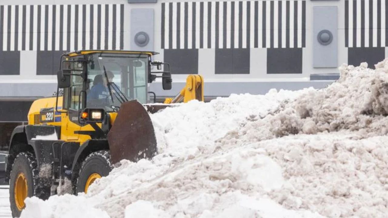
Chicago, Ill. – A rapidly strengthening bomb cyclone tore across the northern United States on Monday, unleashing blizzard conditions, dangerous wind chills, widespread power outages, and major travel disruptions across the Midwest as it pushed toward the East Coast. Forecasters said the storm intensified fast enough to meet the definition of a bomb cyclone, a rare and powerful system marked by a sharp drop in atmospheric pressure, according to reporting by Associated Press.
Storm Rapidly Intensifies Across Central US
The storm system brought sharply colder air, fierce winds, and a mix of snow, ice, and rain across the Plains and Great Lakes. Parts of the central U.S. woke up to temperatures as much as 28 degrees colder than the previous day as a strong cold front swept through.
“All that wind and snow created a pretty significant system for even this part of the country,” said Cody Snell, a meteorologist with the Weather Prediction Center.
Dangerous wind chills plunged as low as minus 34 degrees in parts of North Dakota and Minnesota. The National Weather Service warned of whiteout conditions beginning Sunday, making travel nearly impossible in some areas.
Deadly Travel Conditions and Widespread Power Outages
In Iowa, blizzard conditions eased by Monday morning, but high winds continued blowing snow across roadways. More than 320 kilometers of Interstate 35 remained closed, and state troopers reported dozens of crashes, including one fatal accident.
Nationwide, approximately 350,000 customers were without power by Monday afternoon, with more than a third of the outages concentrated in Michigan, according to Poweroutage.us.
Air travel was also heavily affected, with airports reporting over 6,000 flight delays and roughly 775 cancellations across the United States.
Heavy Snow, Flooding Threats, and Dangerous Lake Conditions
Snow accumulated rapidly in Michigan’s Upper Peninsula, where up to 0.6 meters fell in some locations. Meteorologist Ryan Metzger said lighter but additional snowfall was expected in the coming days.
On Lake Superior, waves were forecast to reach six meters, forcing all but one cargo ship to seek shelter. Meanwhile, fierce winds on Lake Erie pushed water toward the eastern basin near Buffalo, New York, while exposing lakebed and even submerged vehicles on the western Michigan shoreline.
The National Weather Service warned that lake levels could rise to 2.7 meters, raising the risk of significant lakeshore flooding along parts of New York and Pennsylvania, including Erie and Chautauqua counties and the upper Niagara River.
Northeast Braces for Ice and More Snow
Farther east, rain and a wintry mix spread across the Northeast. Freezing rain was reported in northern New York, with threats extending into Vermont, New Hampshire, and Maine. Utility officials reported more than 57,000 power outages across upstate New York by Monday afternoon.
Heavy lake-effect snow and possible whiteout conditions were forecast for northwestern New York on Tuesday, forecasters said.
West Coast Winds and Additional Storms Ahead
On the West Coast, forecasters warned that moderate to strong Santa Ana winds were expected across parts of southern California through Tuesday, raising concerns about falling trees and power lines in areas where soil remains saturated from recent storms.
Looking ahead, meteorologists said two more storms are expected later this week. Rain on New Year’s Day could potentially soak the Rose Parade in Pasadena for the first time in nearly two decades.
Severe Weather Extends to Alaska and the Midwest
In Alaska, a weekend snowstorm dumped 38 to 102 centimeters across the northern panhandle, prompting continued winter storm warnings. Juneau braced for up to 23 centimeters more snow and possible freezing rain, while communities farther south faced flood watches due to snowmelt and heavy rain.
In the Midwest, severe weather was not limited to winter storms. An EF1 tornado with peak winds of 158 km/h damaged buildings and snapped power poles in central Illinois on Sunday, underscoring the storm system’s wide-ranging impact.
More Impacts Expected as Storm Moves East
Forecasters said the bomb cyclone is expected to continue intensifying as frigid Canadian air collides with lingering warmth across the southern United States. Officials urged residents across affected regions to avoid unnecessary travel and remain alert as the powerful system continues its eastward march.


