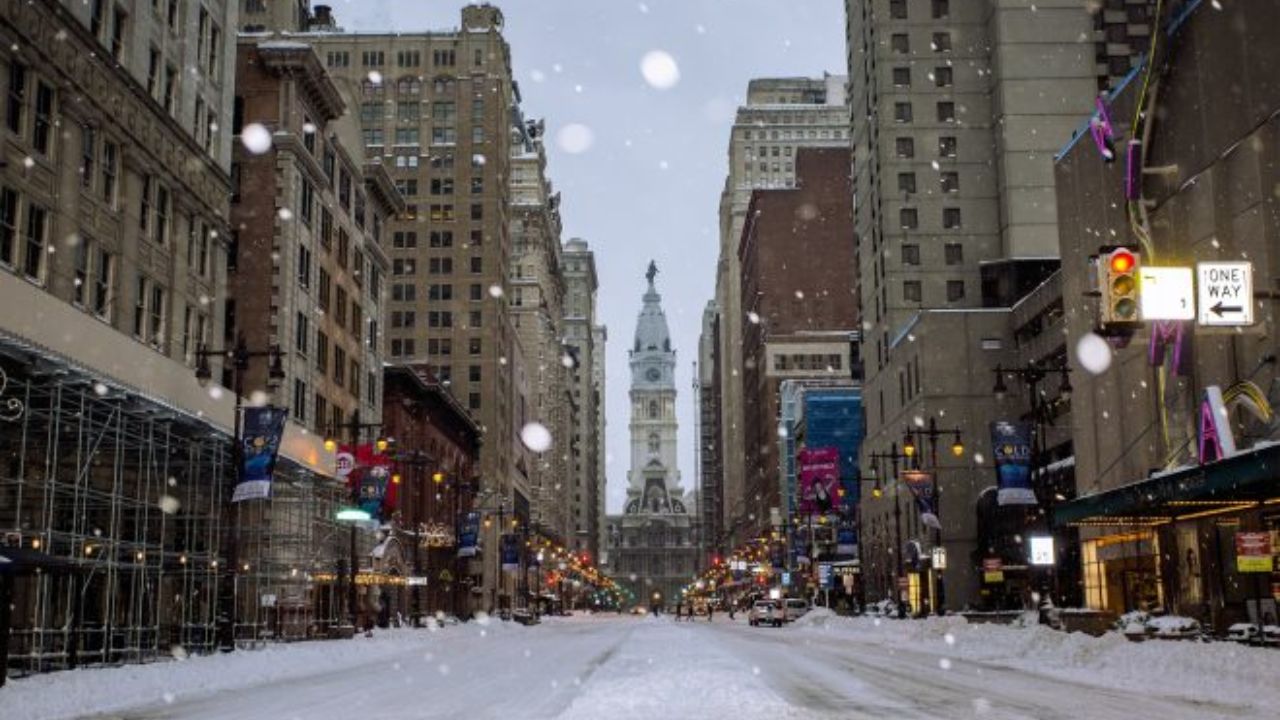
Philadelphia – Friday is shaping up to be a favorable travel day across the Philadelphia region, but residents will need to bundle up. Despite bright sunshine, cold air will dominate the forecast, with temperatures struggling to rise much above freezing and wind chills remaining firmly in the winter range.
Cold but Clear Start to the Day
Friday morning begins with biting cold, as wind chills stay below freezing across much of the region. Afternoon highs may briefly creep just above the freezing mark, but they will not stay there long. Clear skies and sunshine will help with visibility for travelers, making it a decent day to be on the roads as long as proper cold-weather precautions are taken.
Officials are reminding residents to remain mindful of pets during the cold snap. Outdoor water bowls can freeze quickly, even during sunny conditions, and animals should have access to unfrozen water and adequate shelter.
Weekend Forecast: Cold Pattern Holds
The cold trend is expected to continue through the weekend with little variation from day to day.
- Daytime highs: mid to upper 30s
- Overnight lows: low to middle 20s
- Wind chills: remaining at or below freezing, especially during mornings and evenings
While no major storms are expected over the weekend, the persistent cold will keep winter firmly in place. Outdoor plans should be approached with layered clothing, gloves, and hats, particularly during early morning or after sunset.
Early Next Week: Chilly Mornings, Gradual Warming
The start of next week will still feel wintry, especially during the mornings. Monday is expected to open with temperatures in the 20s, followed by afternoon highs in the mid-30s. However, signs of a gradual warm-up begin to appear as the week progresses.
By Tuesday, temperatures are forecast to climb back into the 40s, signaling a shift away from the recent cold pattern. This warming trend is expected to continue through the middle of the week.
Midweek Outlook: Milder Air and Rain Chances
By Wednesday, high temperatures are projected to reach the upper 40s, which is closer to or slightly above seasonal averages. Along with the warmer air, there will be a chance for scattered showers, marking a transition from wintry dryness to more active weather.
Longer-range forecasts covering the 6–10 day period indicate an above-normal chance for above-normal temperatures. This suggests the cold pattern that has dominated recently may be easing.
What the Pattern Shift Means
As temperatures trend warmer:
- Snow chances decrease
- Rain becomes the more likely form of precipitation
- Travel impacts from winter weather are expected to lessen
While cold mornings will still be common, especially early in the week, the overall trajectory points toward more moderate late-winter conditions rather than sustained deep cold.
Bottom Line
Philadelphia will remain cold through Friday and the weekend, with sunshine offering little warmth. A gradual warming trend arrives next week, bringing milder afternoons, reduced snow potential, and increasing chances of rain by midweek. Residents should stay prepared for cold conditions now while keeping an eye on the evolving forecast.
Share your experiences with the cold weather and how you’re preparing for the temperature swings in the comments below.