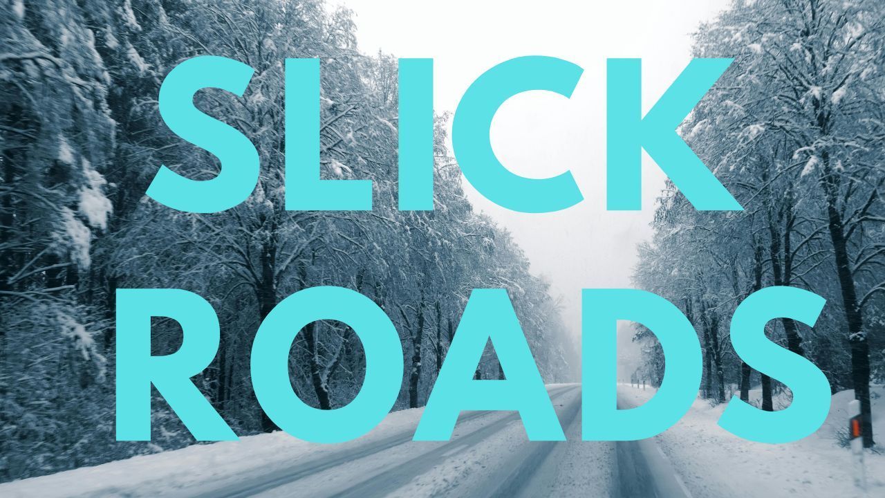
Pennsylvania – A Winter Weather Advisory remains in effect overnight across parts of north-central Pennsylvania as light snow and lake-effect snow create slick and locally hazardous travel conditions through early Friday morning.
According to the National Weather Service in State College, additional snow accumulations of up to one inch are expected through 4 a.m. EST Friday, with isolated higher amounts possible where lake-effect snow bands persist. While totals are modest, forecasters emphasize that timing and road temperatures could significantly impact overnight and early-morning travel.
Areas Included in the Advisory
The advisory covers Tioga, Potter, Elk, Cameron, and Clearfield counties, affecting several communities across the region. Areas included are Wellsboro, Mansfield, Coudersport, Ridgway, St. Marys, Clearfield, and DuBois.
These locations are vulnerable to brief but intense snow showers driven by lake-effect activity, which can rapidly change driving conditions over short distances.
Lake-Effect Snow and Visibility Concerns
Meteorologists warn that lake-effect snow bands may develop overnight, producing short bursts of heavier snowfall. These bands can significantly reduce visibility within minutes, catching drivers off guard, especially on rural highways and higher elevations.
Even brief snowfall can quickly coat road surfaces due to cold pavement temperatures, allowing snow to stick on untreated roads, bridges, and overpasses.
Hazardous Travel on Major Routes
Travel conditions may deteriorate quickly along several major corridors, including Route 6, U.S. Route 15, Interstate 80, and U.S. Route 322. Snow-covered pavement and areas of blowing snow are possible, particularly in open and elevated areas.
In Clearfield County, gusty winds are expected to contribute to blowing and drifting snow, further limiting visibility and increasing the risk of slick conditions. Open stretches of roadway and exposed interchanges may see the greatest impacts.
Why Light Snow Can Still Be Dangerous
Although snowfall totals are relatively light, forecasters stress that cold surface temperatures will allow snow to accumulate more efficiently overnight. Untreated roads can become slick quickly, especially where traffic volume is low and plowing or salting is delayed.
Bridges and overpasses are especially prone to icing, as they cool faster than surrounding pavement. Drivers traveling late tonight or during early-morning hours should be prepared for sudden changes in traction.
Travel Advice for Overnight Drivers
Officials urge motorists to take extra precautions if travel is necessary overnight or before sunrise. Drivers are advised to:
- Reduce speeds and increase following distance
- Allow extra travel time
- Remain alert for rapidly changing visibility
- Use caution on bridges, overpasses, and rural roads
Up-to-date road and traffic conditions are available through Pennsylvania’s official travel information service.
Conditions Improving Toward Morning
Snow showers are expected to taper toward daybreak as lake-effect activity weakens. However, isolated slick spots may linger into the early-morning commute, especially on less-traveled roads and shaded areas.
Road crews will continue monitoring conditions overnight, but drivers should not assume roads are clear simply because snowfall appears light.
What Comes Next
While no significant additional accumulation is expected after the advisory expires, temperatures will remain cold enough to preserve icy patches into the morning hours. Motorists should remain cautious until daylight and road treatments fully take effect.
Residents are encouraged to stay informed of any updates or extensions to the advisory if lake-effect snow bands become more persistent overnight.
If you traveled through these areas overnight or early Friday morning, share your experiences in the comments below.