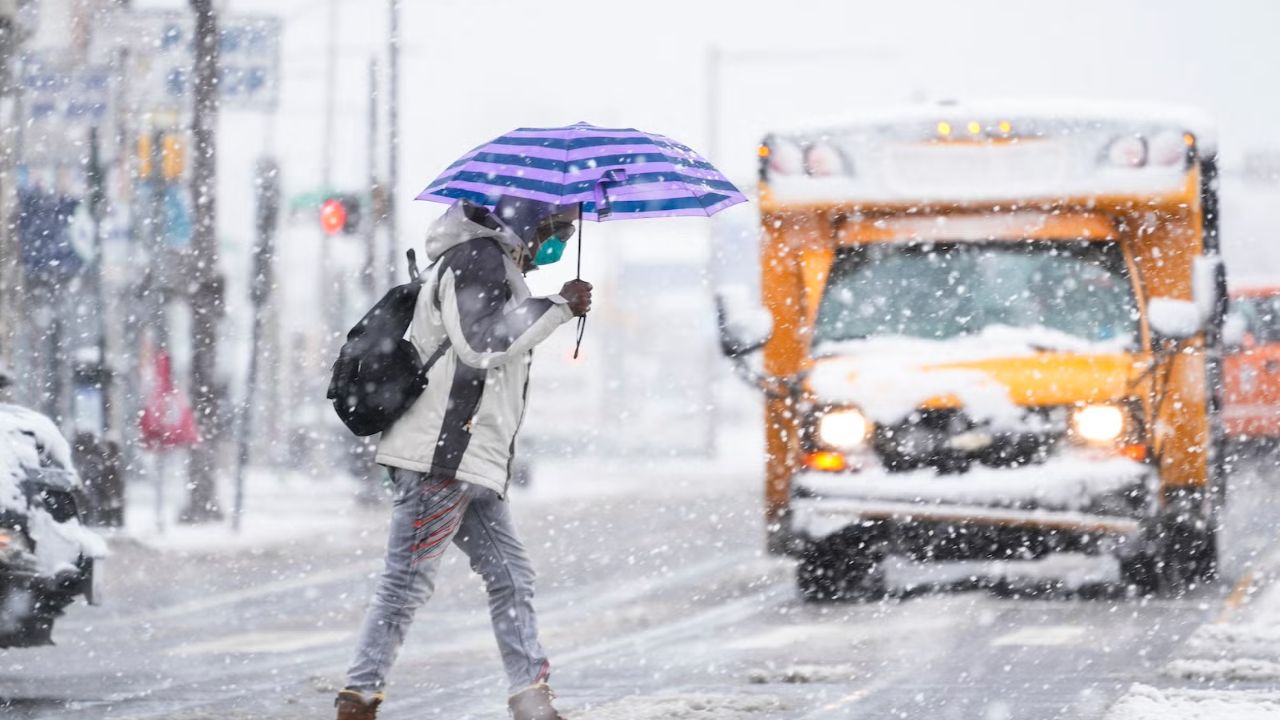
Cold air remains firmly in place this weekend, keeping temperatures below seasonal averages and making winter layers a necessity. Whether you’re cleaning up holiday decorations, heading out for New Year fitness goals, or tailgating near Lincoln Financial Field, the chill will be noticeable all day.
Wind chills will stay below freezing through much of Saturday, so hats, gloves, and heavy coats are strongly recommended for any extended time outdoors. Aside from a slim chance of a few snow showers late Saturday night, the weekend overall is trending dry.
Cold Pattern Holds Through the Weekend
The cold trend continues with afternoon highs stuck in the mid to upper 30s and overnight lows dipping into the low to mid-20s. Mornings will feel especially brisk, with wind adding an extra bite to the air.
Despite the chill, sunshine will return at times, particularly on Sunday, offering a brief break from cloud cover but little relief from the cold temperatures.
Next Big Weather Change: Milder Air on the Way
Looking ahead, next week starts cold but ends much milder. Monday and Tuesday mornings will still begin in the 20s, but daytime highs will gradually climb.
By midweek, temperatures may rise into the low 50s, and overnight lows could stay above freezing — a notable shift from the recent cold stretch.
Rain Replaces Snow Chances Next Week
As temperatures warm, precipitation chances increase — primarily as rain rather than snow.
Rain is expected to arrive Tuesday and continue into early Wednesday. Another round of showers is possible on Friday. Longer-range outlooks suggest above-normal temperatures in the 8–14 day window, which would further reduce snow potential while increasing rain chances.
7-Day Forecast Overview
Saturday: Partly cloudy and chilly. High 34°, Low 22°
Sunday: Mostly sunny. High 37°, Low 25°
Monday: Still chilly. High 34°, Low 22°
Tuesday: Tracking showers. High 45°, Low 28°
Wednesday: Early showers, then milder. High 50°, Low 34°
Thursday: Mild. High 47°, Low 35°
Friday: Chance of showers. High 47°, Low 35°
Bottom Line
Winter cold isn’t done just yet, but relief is in sight. Bundle up through the weekend, stay alert for a few late-night snow showers, and prepare for a noticeable warm-up — and wetter pattern — as next week unfolds.