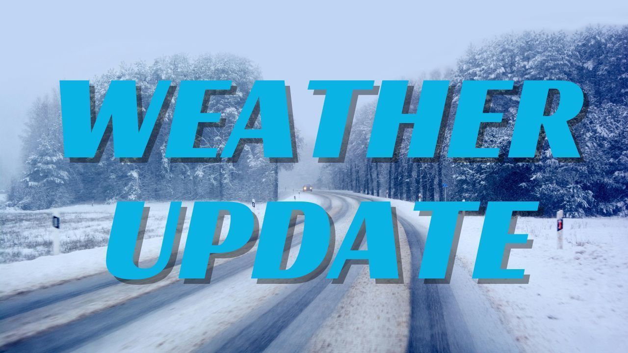
Illinois — Northern Illinois woke up to a blast of powerful winds and sharply colder air this morning as a strong cold front swept across the region, rattling holiday decorations and sending leaves swirling through downtown Chicago. Commuters encountered shifting traffic lights, bending flags, and a biting chill — clear signs that winter is arriving earlier than usual.
The National Weather Service has issued a Wind Advisory through 9 p.m. Wednesday, cautioning residents about gusts reaching 50 mph, with isolated bursts near 60 mph in exposed areas. These winds are expected to create hazardous conditions, especially for drivers traveling along I-80, I-55, and Lake Shore Drive. High-profile vehicles may sway in crosswinds, and unsecured outdoor items or holiday decorations could be blown around during the day.
Strong Winds Sweep Across the Region
The morning hours saw the most dramatic wind impacts as downtown streets funneled strong westerly gusts between buildings. Weather officials noted that the cold front brought a sudden drop in temperatures, allowing cold, dense air to rush into the region more forcefully than usual.
Forecasters emphasize securing anything loose outdoors before midday to avoid property damage.
“We’re expecting the strongest gusts through the afternoon hours, with some areas seeing brief bursts above 55 to 60 mph,” the National Weather Service said in its advisory.
Westerly winds will remain elevated into the late afternoon before gradually weakening overnight. As the colder air deepens, scattered snow showers may mix in at times, especially for areas north and west of the Chicago metro. While no significant accumulation is expected, the flurries serve as a preview of what may be coming soon.
Thanksgiving Day Weather: Sunshine with a Sharp Chill
Thanksgiving is expected to bring a welcome break from the high winds, offering clearer skies and calmer conditions for travelers and holiday gatherings. Highs will reach around 34°F, and although northwest winds will keep the air crisp, sunny skies will help make the day feel more pleasant.
Travel conditions across the region should remain stable, with no major weather disruptions expected on Thursday.
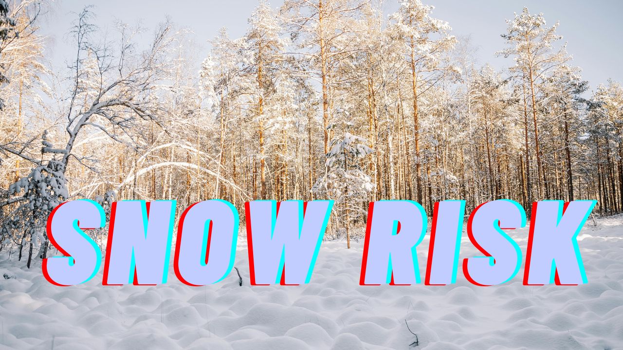
Snow Chances Return for Friday and Saturday
A new system will push into Illinois late Friday, increasing cloud cover and raising the possibility of light snow or a rain-snow mix by evening.
Saturday continues this trend, with a limited risk of snow showers throughout the day and a return of gusty northwest winds. At this stage, snow accumulation is expected to remain minor, but brief slippery spots could develop on untreated roads.
This unsettled pattern signals that winter is gearing up, and meteorologists are urging residents to monitor forecasts as the weekend approaches.
Arctic Front May Bring First Significant Snow of the Season
The most notable weather shift could arrive early next week. Forecasters are watching a strong Arctic front expected to drop southward through the Midwest, delivering temperatures well below seasonal averages and the potential for the region’s first significant snowfall between December 1–5.
If the system stays on its current track, it may affect early holiday travel plans across Illinois and neighboring states. With colder air settling in and storm energy building across the northern U.S., conditions are favorable for a more impactful winter event.
Five-Day Outlook for Northern Illinois
Residents planning travel or outdoor activities across the holiday weekend should prepare for fluctuating conditions:
- Today: Windy, scattered snow showers possible; 36°F
- Thursday: Sunny and breezy; 34°F
- Friday: Cloudy with a chance of snow late; 33°F
- Saturday: Mostly cloudy with snow potential; 33°F
- Sunday: Mostly cloudy and cold; 32°F
Staying Safe During High Winds and Early Winter Weather
Strong winds and early-season cold snaps can increase risks for commuters and residents. Officials recommend keeping both hands on the steering wheel in windy conditions, slowing down on bridges and open stretches, and checking that outdoor decorations and trash bins are secured. Winterizing vehicles early — including checking tire pressure and antifreeze — can help avoid travel delays as temperatures fall further.
Cold air combined with gusty winds can also raise the risk of frostbite if people stay outdoors too long without proper layering. With snow chances returning Friday and Saturday, residents should be prepared for possible slick spots, especially during the evening hours.
Conclusion
Northern Illinois is facing a dynamic stretch of weather as Thanksgiving approaches, from damaging winds to colder air and the potential for accumulating snow in the days ahead. As winter tightens its grip, staying informed and prepared will be key for safe travel and holiday plans.
Share your experiences in the comments below.