Dallas, TX – North Texas is gearing up for a wet stretch as rain and scattered storms are expected to continue through Sunday and into Labor Day, with temperatures remaining in the mid-80s across the metroplex.
Heavy Rainfall Causes Flooding Across North Texas
An active evening brought up to 3 inches of rain across Collin, Dallas, and Rockwall counties, causing significant flooding. Multiple roads in Rowlett were closed due to the intense rainfall.
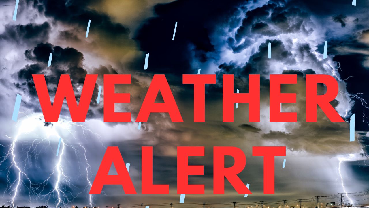
The National Weather Service has issued a First Alert Weather Day for Sunday night, as storms are moving slower than originally forecasted, increasing the risk of localized flooding. Residents are urged to stay alert and avoid flooded areas, especially during the evening hours.
“Storms are expected to continue, and though no severe weather is anticipated, flooding remains a real concern,” said a local meteorologist.
Labor Day Forecast: Warm but Wet
Labor Day will begin with mild conditions, with lows in the lower 70s. Temperatures will climb into the upper 80s, depending on cloud cover and storm development. Afternoon storms are expected to be the most robust, potentially bringing flooding and lightning hazards.
“Remember, when thunder roars, head indoors,” weather officials advised.
By the evening, skies are expected to clear, with temperatures dropping to the lower 80s. Fans planning to watch the TCU vs. NCU game on the patio can expect comfortable conditions later in the day.
Week Ahead: Cooler, Seasonable Conditions
A weak front will move through North Texas on Tuesday, keeping highs below average. The trend of below-average to seasonable temperatures is expected to continue for much of the week, providing a mild start to the meteorological fall.
Residents are encouraged to stay updated on local weather alerts and exercise caution during periods of heavy rain or lightning.
Are you preparing for Labor Day storms? Share your plans or precautions in the comments below and stay informed with the latest updates.