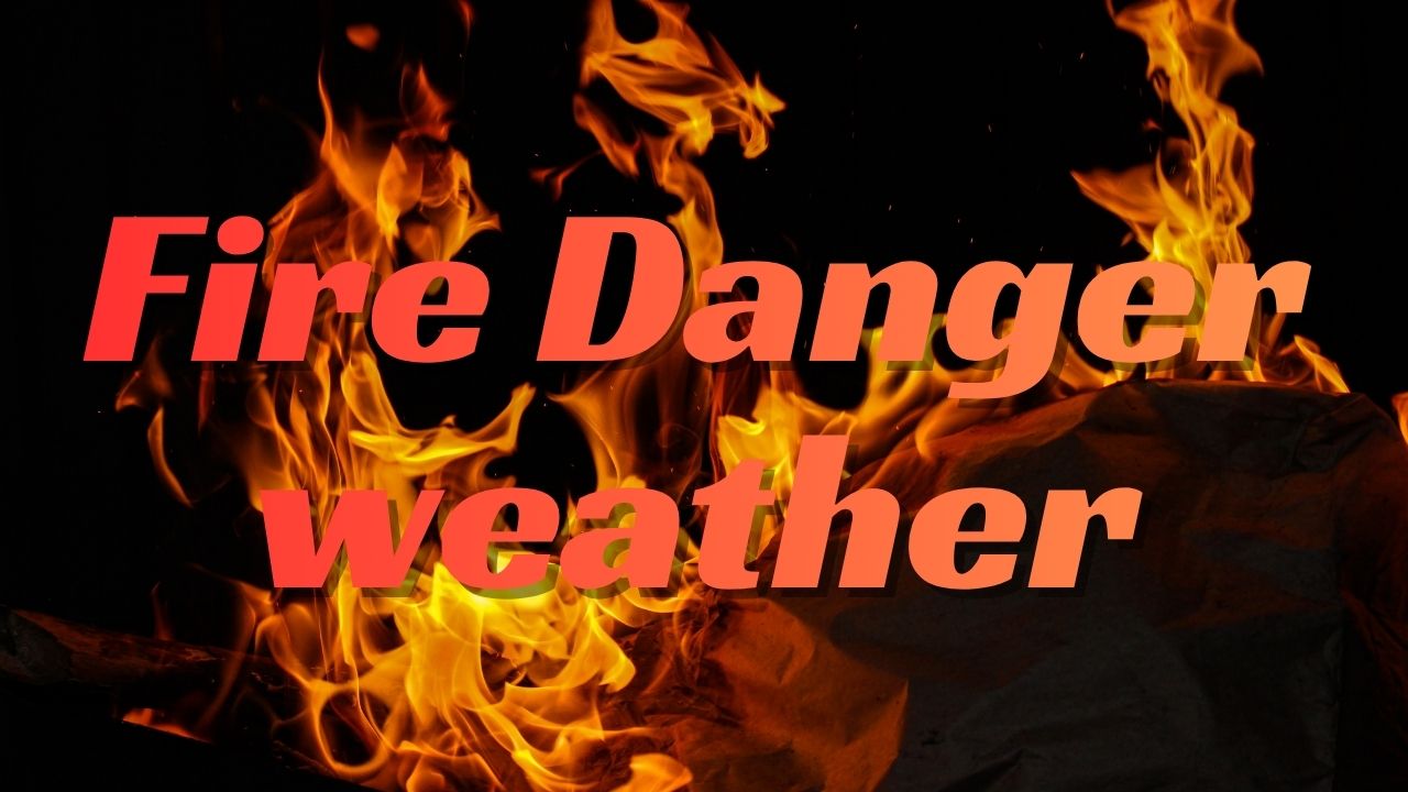
Atlanta, GA – The National Weather Service in Peachtree City has issued a Special Weather Statement for north and central Georgia, warning of elevated fire danger throughout Friday afternoon and evening. As humidity levels drop and dry air settles over the region, officials are urging residents to use caution with any outdoor burning or equipment that could spark fires.
The Conditions: Dry Air and Low Humidity Heighten Fire Risk
Forecasters say relative humidity could fall below 25% for several hours Friday, particularly along and north of Interstate 20. Combined with light north winds gusting up to 18 mph, the conditions create a high risk for rapidly spreading fires.
“Any outdoor burn could spread quickly in these dry conditions,” meteorologists warned, urging residents to delay burning or use extreme caution if flames or sparks are unavoidable.
The warning covers much of metro Atlanta, extending across north and central Georgia counties. Officials stress that even small sparks—from grills, debris burns, or lawn equipment—can ignite brush and dry grass, leading to dangerous wildfires.
Friday Forecast: Sunny but Hazardous for Outdoor Burning
Aside from the fire danger, Friday’s weather remains pleasant and mild, with sunshine and highs near 73°F across metro Atlanta. Winds will stay light through the afternoon but could become gusty at times.
Residents planning outdoor events or yard work are encouraged to avoid using open flames, chainsaws, or equipment that might produce sparks until humidity levels rise again later in the evening.
Weekend Outlook: Mild and Dry Saturday, Rain Returns Sunday
The weekend will begin with continued sunshine on Saturday, featuring comfortable highs in the 70s and light winds. However, forecasters note that dry air will persist, keeping humidity low and fire risk elevated through much of the day.
Saturday’s conditions are otherwise ideal for fall festivals, football tailgates, and yard work, but officials advise against burning leaves or brush piles until moisture returns to the region.
By Sunday, clouds will gradually increase from the west as a new moisture surge moves in. Forecasters expect scattered showers to develop by Sunday evening, expanding into widespread rain Monday. Temperatures will dip into the upper 50s and lower 60s early next week as cooler air filters in.
Meteorological Context: A Seasonal Shift for North Georgia
Meteorologists say this weather pattern marks a typical autumn transition for Georgia—characterized by warm, dry afternoons followed by a cooler, wetter pattern as frontal systems return.
While the dry stretch has provided crisp mornings and clear skies, it has also created ideal fire weather conditions. Experts emphasize the importance of following local burning restrictions and avoiding any activities that might ignite grass or debris fires during the next 48 hours.
Next Steps and Safety Precautions
Local emergency management agencies are urging residents to:
- Avoid outdoor burning until humidity rises.
- Properly dispose of cigarettes and other flammable materials.
- Use caution with grills, fire pits, and power tools.
- Report any signs of smoke or fire to authorities immediately.
Once rain arrives Sunday night into Monday, the region should see a noticeable reduction in fire danger and improved air quality.
Conclusion
While Friday’s sunshine and comfortable fall temperatures bring a welcome change after weeks of warmth, officials caution that dry air and low humidity present serious wildfire risks across north Georgia. Residents are urged to remain vigilant and prioritize safety until moisture returns to the region early next week.
What are your thoughts on today’s fire danger warning? Share your experiences and weather updates in the comments below.