Charlotte, North Carolina – North Carolina begins the day under a quiet winter chill, with calm conditions settling over the Charlotte metro area. Early morning temperatures hover in the upper 30s, clouds drift overhead, and visibility remains good across major roadways. While today stays uneventful, changes are already lining up as the region heads toward the Christmas travel period.
Quiet and Cool Start Across the Charlotte Region
Wednesday morning feels calm but cold for mid-December. Commuters along I-77, I-85, and I-485 are seeing dry pavement and smooth traffic flow, making for an easy start to the day. According to the National Weather Service, skies remain partly cloudy through the afternoon, with temperatures gradually warming into the mid-50s.
Winds stay light, helping the day feel comfortable despite the winter chill lingering in shaded areas. Outdoor plans remain unaffected, and no weather-related travel disruptions are expected during daylight hours.
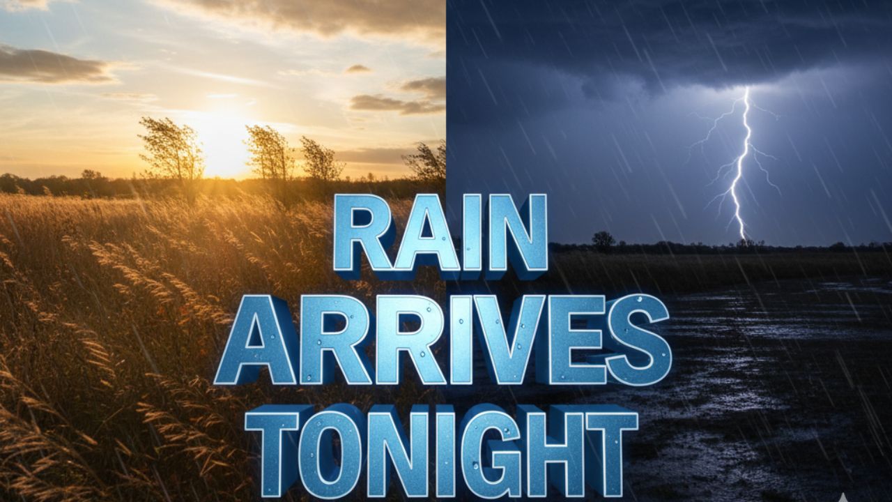
Rain Moves In Late Thursday Afternoon
Conditions begin to shift Thursday as moisture pushes north into the Carolinas. Clouds thicken through the morning, setting the stage for widespread rainfall later in the day.
By late Thursday afternoon, rain becomes increasingly likely across Mecklenburg County and surrounding areas. Showers spread steadily through the evening, with the heaviest rain expected during the evening commute. Drivers should prepare for wet pavement, reduced visibility, and slower travel times on highways and local roads.
While no severe weather is expected, the timing of the rain could cause minor delays, especially during peak traffic hours. Allowing extra travel time and using headlights in rain will help improve safety.
Friday Transition Brings Breezy and Cooler Conditions
Rain tapers off early Friday morning as the weather system moves east. Clouds begin to thin, allowing for some breaks of sunshine by midday. Afternoon temperatures briefly rebound into the mid-50s, similar to Thursday.
Behind the departing rain, cooler air and increasing winds move into the region. Gusts add a noticeable chill by Friday afternoon, signaling a more winter-like pattern settling in for the weekend.
Freezing Temperatures Raise Slick Spot Concerns
Friday night brings the coldest conditions of the period so far. Skies clear, and temperatures drop close to the freezing mark, especially in rural areas and suburbs outside the urban heat island.
While snow is not expected, leftover moisture from earlier rain could refreeze overnight, particularly on bridges, overpasses, and elevated roadways. Drivers heading out early Saturday morning should remain alert for isolated slick spots, even if roads appear dry elsewhere.
What This Pattern Signals for December
Meteorologists note that this warm-to-cold swing reflects a typical winter transition pattern for the Carolinas. Stronger storm systems impacting the Midwest are beginning to influence regional weather, hinting at a potentially more active stretch as December continues.
While this system remains mild, future storms could bring sharper cold or more impactful weather as winter progresses.
Christmas Travel Weather Outlook Improves
The good news arrives just in time for holiday travel. Saturday turns sunny and seasonable, with afternoon highs near 55 degrees. Cold mornings remain the main concern, but daytime travel conditions look favorable.
By Sunday, temperatures warm noticeably, reaching the lower 60s, offering one of the more comfortable travel days of the week. Dry skies and light winds support smooth driving conditions across North Carolina as Christmas approaches.
Five-Day Charlotte Weather Outlook
• Today: Partly sunny, high near 56°
• Thursday: Rain likely, high near 54°
• Friday: Clearing and breezy, high near 56°
• Saturday: Sunny, high near 55°
• Sunday: Sunny and warmer, high near 61°
As North Carolina moves through this shifting winter pattern, staying informed about overnight temperatures and road conditions remains key—especially for early morning drivers and holiday travelers.
Share your experiences in the comments below.