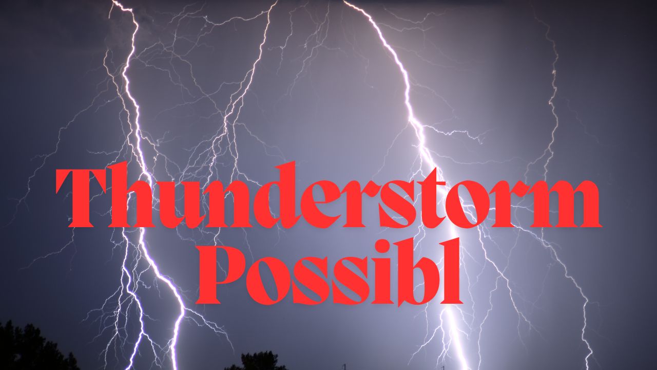
Charlotte, N.C. – A hot and humid Saturday in Charlotte is expected to end with a notable thunderstorm threat this weekend, as the National Weather Service warns of possible severe weather conditions Saturday evening. Residents, drivers, and football fans should prepare for potential disruptions caused by heavy rain and lightning that may impact late-night activities and traffic flow.
Saturday’s Weather: Storms Set to Roll In After a Warm Day
The National Weather Service in Greenville-Spartanburg forecasts a 30 percent chance of thunderstorms after 5 p.m. on Saturday, September 6. The conditions will be fueled by increasing heat and humidity throughout the day, setting the stage for unpredictable weather in the evening.
Key weather details for Saturday include:
- Southwest winds gusting up to 10 mph
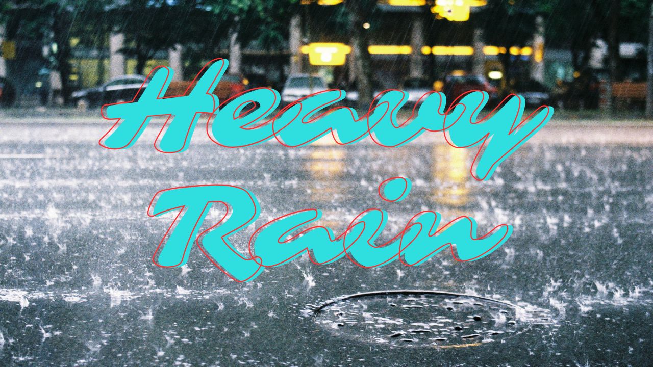
- Heavy rain pockets reducing visibility, especially on major highways such as I-85 and I-485
- Possible thunderstorms persisting until around 1 a.m. Sunday
Residents are advised to secure outdoor belongings, avoid unnecessary travel during storm hours, and stay vigilant for weather updates through official channels.
Friday and Sunday: Contrasting Weather Conditions Highlight Weekend Transition
Prior to the thunderstorm threat, Friday delivers a calm and sunny day with highs nearing 90°F, providing a pleasant start to the weekend. Saturday morning is expected to be partly cloudy but warm and humid, leading into the evening storms.
Sunday offers a much-needed reprieve from the unsettled weather with partly sunny skies and cooler temperatures, making it a perfect day for outdoor activities. Temperatures are forecasted to reach a high near 79°F, accompanied by a drier weather pattern expected to continue into early next week.
- Friday: Sunny, high 90°F, low 70°F
- Saturday: Storms after 5 p.m., high 90°F, low 66°F
- Sunday: Partly sunny, high 79°F, low 60°F
- Monday: Sunny, high 79°F, low 57°F
- Tuesday: Mostly sunny, high 80°F, low 60°F
Potential Impacts on Community Events and Travel Safety
The weekend thunderstorm threat could potentially disrupt several local events, including high school football games and late-night activities downtown. Motorists traveling on key routes, particularly I-77, should exercise caution due to possible heavy rainfall and reduced visibility.
Authorities warn that flooding could occur in low-lying areas, increasing the risk of ponding water on roads.
“Residents should monitor weather alerts closely and avoid flooded or hazardous roadways to ensure safety during the stormy conditions,” advised local officials.
Looking Ahead: Cooler, Drier Weather on the Horizon
Following the weekend storms, Charlotte can expect a relief from the heat with cooler, drier conditions set to prevail early next week. This weather pattern will favor outdoor plans and ease the transition into the fall season.
Stay Prepared and Stay Safe This Weekend
The combination of summer heat and late-day storms calls for heightened awareness this weekend in Charlotte. Residents are urged to take precautions, plan ahead for travel delays, and keep an eye on changing weather conditions.
What do you think about this weather update? Will you be adjusting your weekend plans due to the storm threats? Share your thoughts and experiences in the comments below!