New York City, NY – A brief stretch of milder air will give New Yorkers a false sense of spring before conditions shift sharply on Friday. Forecasters warn that rain, gusty winds, and a rapid temperature drop could create slick roads and travel headaches, especially for those beginning early Christmas trips.
According to the National Weather Service, temperatures across New York City are expected to climb into the upper 50s Friday afternoon before a strong cold front sweeps through the region. While the warmth may feel welcome, it will be short-lived and accompanied by steady rain and increasing winds that could disrupt commuting and holiday travel plans.
Friday’s Weather Setup and Timing
Friday starts relatively calm, but conditions deteriorate as the day progresses. Rain is expected to develop by late morning and become more widespread during the afternoon and evening hours. Gusty winds, particularly near coastal and waterfront areas, may make the rain feel heavier and reduce visibility at times.
Meteorologists caution that bridges, ramps, and major corridors such as Interstate 95, the FDR Drive, and the Cross Bronx Expressway could become slick quickly once rainfall intensifies. Even moderate rain can create hazardous driving conditions when paired with holiday traffic volumes.
Travel Concerns for the Start of Christmas Weekend
Friday afternoon and evening mark the beginning of a busy travel window for many families. The combination of rain and wind could slow traffic both within the city and on outbound routes toward upstate New York, New Jersey, and New England.
Drivers are urged to allow extra time, reduce speed during heavier showers, and remain alert for sudden slowdowns. Air travelers may also want to monitor flight status updates, as rain and wind can occasionally cause delays at area airports during peak travel periods.
Rapid Cooldown and Black Ice Risk Friday Night
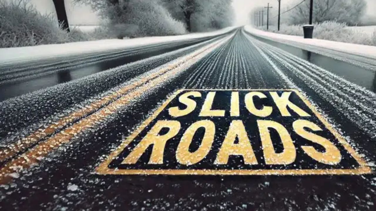
The most significant concern arrives after the rain moves out. Behind the cold front, temperatures are expected to drop quickly Friday night, falling toward the freezing mark. Any remaining moisture on roads, sidewalks, and parking lots could refreeze, leading to patchy black ice.
Untreated surfaces, shaded streets, and lightly traveled roads are especially vulnerable. Officials note that early-season black ice can be particularly dangerous because it is often unexpected and nearly invisible.
Early Winter Signal, Even Without Snow
While no snow is expected locally through Friday, meteorologists say this warm-to-cold transition is a clear signal that winter patterns are strengthening. Across the Midwest and Northern Plains, heavy snow and strong winds are already creating hazardous conditions, and colder air continues pushing eastward.
Long-range forecast models suggest New York may see more frequent cold mornings as Christmas approaches. While this weekend looks mostly dry after Friday’s rain, travelers returning later may encounter icy conditions during early morning hours.
Five-Day New York City Weather Outlook
Here’s what to expect heading into the weekend:
- Today: Mostly sunny, high near 44°
- Thursday: Mostly sunny and milder, high near 52°
- Friday: Rain likely, windy, high near 57°
- Saturday: Partly sunny and colder, high near 41°
- Sunday: Partly sunny, high near 47°
What New Yorkers Should Do Now
Residents and travelers should plan for changing conditions rather than focusing on Friday’s brief warmth. Checking tire pressure, allowing extra commute time, and watching for overnight refreezing can help reduce risk. Pedestrians should also use caution Friday night and early Saturday morning when sidewalks may turn slick.
Weather officials emphasize that staying aware of forecast updates will be key as the holiday week approaches and winter patterns continue to evolve.
If you’re traveling or commuting Friday, keep conditions in mind and adjust plans accordingly. Share your experiences or travel plans in the comments below.