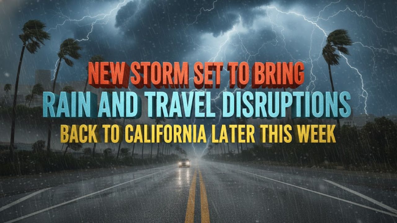
Los Angeles, Calif. – After several days of dry, sunny, and windy weather, California is preparing for another storm system that is expected to bring rain and potential travel delays later this week, just as many residents and visitors make plans for New Year’s celebrations.
The incoming system follows a much-needed break from a relentless series of storms that soaked California and parts of the western United States earlier in December. Those storms delivered the equivalent of one to three months’ worth of rainfall in just a few days, pushing streams and rivers to high levels across the region.
Brief Calm Helps Rivers and Streams Recede
The current dry pattern, which will last through Tuesday for most areas, has provided a critical window for waterways to recede and for saturated ground conditions to stabilize. Gusty winds that affected parts of the state on Monday are expected to ease by Tuesday.
Fog that developed over California’s Central Valley during the weekend is likely to linger into Tuesday as well. Forecasters note that this round of fog should be short-lived, unlike the dense fog episodes earlier in December that persisted for weeks.
Moisture Returns From the South
While the dry stretch has been welcome, forecasters say it will not last. Moisture is expected to return to California and the Southwest by midweek, marking the end of the brief calm period.
Unlike earlier storms that approached from the north or west, this system will draw moisture from the south and the subtropical Pacific. Despite its origin, widespread excessive rainfall is not expected.
Localized Flood and Mudslide Risks Remain
Although overall rainfall totals are forecast to be moderate, some localized areas could still see heavier downpours. South- and west-facing slopes of the Transverse Range in Southern California are among the locations where rain could be intense enough to renew concerns about mudslides and flash flooding.
Forecasters say these heavier pockets of rain are expected to be limited in scope. Most rivers and streams should be able to handle the additional runoff without significant flooding, though ponding on streets and highways is possible in areas with poor drainage.
New Year’s Eve and New Year’s Day Impacts
The timing of the storm could interfere with New Year’s Eve plans across parts of California and the Southwest. Showers are expected to spread across much of Southern and Central California during the afternoon and early nighttime hours on New Year’s Eve.
Rain is then forecast to expand northward into Northern California and into parts of Nevada, including Las Vegas and Reno, as well as Phoenix, late Wednesday night into Thursday.
People attending the annual New Year’s Day parade in Pasadena may want to prepare for wet conditions. Temperatures are expected to be in the 50s, and showers could occur at least once or twice during the day, with the possibility of more frequent rainfall.
Snow Levels and Mountain Travel Concerns
Freezing levels with this storm are expected to remain above Southern California mountain passes. In the Sierra Nevada, freezing levels will rise from Wednesday night into early Friday, which could lead to slushy conditions at the start of the event at Donner Pass.
Later in the week, conditions may change. As the main body of the Pacific storm approaches from Friday into Saturday—possibly during the first weekend of 2026—freezing levels could drop enough to allow snow to fall more steadily. Heavy snow accumulation is possible across the Sierra Nevada, including at higher-elevation passes.
Uncertain Weekend Forecast Ahead
Weather conditions for the upcoming weekend will depend on how the storm evolves. Forecasts range from scattered showers to the possibility of more widespread and heavier rain returning to parts of the region.
Residents and travelers are encouraged to stay updated on the latest forecasts, especially if plans include mountain travel or outdoor New Year’s events.