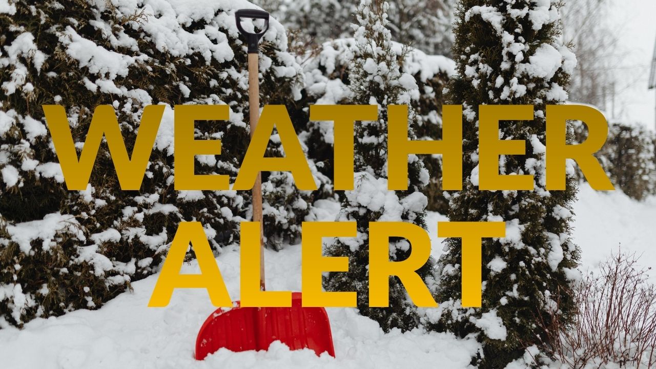
California – More rounds of heavy rain, strong winds, and mountain snow are set to impact California this Christmas week as a series of atmospheric rivers move in from the Pacific, according to forecasters tracking the developing storm pattern. Areas already soaked last weekend in Northern California, along with the Los Angeles Basin and parts of the Desert Southwest, face an elevated risk of flooding and landslides over the coming days.
Recent Storm Has Already Caused Widespread Damage
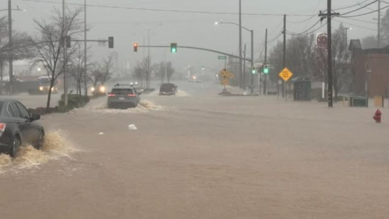
The most recent atmospheric river brought significant rainfall to Northern California over the weekend, dumping between 3 and 12 inches of rain across coastal ranges and Sierra foothills.
That storm led to more than 40 reports of flooding, around 20 landslides, and at least 16 wind damage reports from Saturday night through early Monday. Some of the most serious flash flooding occurred in and around Redding, where emergency water rescues were required as creeks and roadways quickly overflowed.
First Round of Christmas Week Storms Begins Tuesday Night
Although rainfall early Tuesday is expected to be lighter than recent days, forecasters say the break will be short-lived.
A stronger storm system is expected to arrive in Northern California Tuesday night, spreading south overnight into Southern California. Heavy rain and gusty winds will continue into Wednesday, with locally intense rainfall also pushing into the Desert Southwest, including Las Vegas and possibly reaching Phoenix by Wednesday.
Second Storm Arrives on Christmas Day
A second, powerful Pacific storm could move into California on Christmas Day, bringing another round of heavy rain, strong winds, and substantial mountain snow.
Rain showers and snowfall in the southern Sierra and parts of Southern California may linger into Friday, while isolated heavy showers could continue in the Desert Southwest during both Christmas Day and Friday.
By next weekend, drier conditions are expected to return across California and surrounding regions.
Expected Rainfall and Snow Totals
Northern California is forecast to receive at least 3 more inches of rain through Friday, with some coastal ranges and Sierra foothills potentially seeing 5 inches or more below snow level. Parts of the Bay Area could pick up 1 to 5 inches, which would be roughly equal to a full month of rain for San Francisco.
In Southern California, much of the L.A. Basin, stretching from Santa Barbara to Orange County, is expected to receive 3 inches or more of total rainfall this week. Mountain areas below snow level could see 8 inches or more, while San Diego County may receive around an inch.
Forecasters warn the heaviest rainfall is likely from Wednesday through early Thursday, with rainfall rates potentially exceeding one inch per hour in some locations.
Meanwhile, several feet of snow are expected in the Sierra Nevada from Tuesday night through Friday. This snowfall is considered beneficial, as California’s snowpack remains significantly below average for this time of year.
Flooding, Landslides, and Power Outage Risks
The extended period of heavy rainfall increases the risk of flash flooding and landslides, especially in steep terrain and areas recently burned by wildfires. Residents in burn scar zones are urged to remain alert and be ready to evacuate if conditions worsen.
Rainfall at higher elevations than usual could also melt existing snowpack, further increasing the risk of river and flash flooding downstream.
Strong winds associated with both storms may topple trees and cause power outages, particularly in regions where soil is already saturated.
What Happens Next
Flood watches are in effect across much of California as the storm sequence unfolds. Emergency officials continue to monitor river levels, burn scars, and vulnerable infrastructure as the state braces for multiple days of active weather during the holiday week.