Kansas City, MO – Residents and commuters in Kansas City, Missouri, should prepare for potentially hazardous weather conditions as strong thunderstorms, including hail, wind, and heavy rain, are expected Thursday night into Friday morning. The storms threaten to disrupt the early morning commute along I-70 and surrounding highways, complicating travel with reduced visibility and possible delays.
The National Weather Service in Pleasant Hill has issued warnings for strong to severe thunderstorms impacting western Missouri, especially overnight. Hail and damaging wind gusts are likely, raising concerns for safety and property damage in multiple counties.
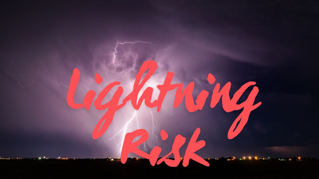
Severe Storm Threats and Travel Impact
The forecast calls for a rough weather period primarily affecting communities across Jackson, Clay, Platte, and Johnson counties. Authorities warn that the combination of large hail, high winds, and heavy rain could result in downed tree branches and hazardous road conditions. Drivers along I-70 should anticipate:
- Reduced visibility from heavy rain and patchy fog forming before sunrise.
- Potential delays due to storm-related hazards and slower traffic.
- Dangerous wind gusts reaching up to 40 mph that could impact vehicle control.
Emergency officials strongly advise residents to:
- Secure outdoor items to prevent storm damage.
- Charge mobile devices in case of power outages.
- Limit travel late Thursday night and early Friday morning during peak storm activity.
“Travel should be limited late Thursday night and early Friday morning when conditions peak,” emphasized local emergency management.
What to Expect After the Storms
According to weather forecasts, calmer and cooler conditions will follow the severe weather. By Saturday, the skies are expected to clear with mostly sunny weather and comfortable temperatures in the mid-70s, offering a pleasant fall-like weekend.
Here is the Five Day Forecast for Kansas City, MO to help residents plan accordingly:
- Thursday Night: Strong storms with possible hail; lows near 60°F; south winds up to 18 mph.
- Friday Morning: Thunderstorms continuing with gusts up to 40 mph; highs around 65°F.
- Saturday: Sunny skies; highs near 76°F; lows around 54°F.
- Sunday: Sunny; high near 75°F; low around 54°F.
- Monday: Mostly sunny; high near 83°F; low around 62°F.
Safety and Preparedness: What Locals Should Do
Given the severity of the expected storms, Kansas City residents are urged to stay vigilant and monitor local weather reports. Practical preparedness steps include securing loose objects outdoors, ensuring emergency supplies are ready, and planning alternative routes if commuting early Friday morning.
“The combination of hail, heavy rain, and gusty winds demands attention and precaution to keep our community safe,” a National Weather Service representative stated.
Key safety tips for the Missouri storm event:
- Keep updated with reliable weather sources.
- Avoid unnecessary travel during peak storm hours.
- Prepare vehicles for wet, slick road conditions.
- Charge phones and portable chargers ahead of potential outages.
Looking Ahead: A Return to Stable Weather
Following the stormy Thursday night into Friday morning, Missouri can expect a significant improvement in weather. Clear skies and mild temperatures will prevail, giving residents a welcome break from the unsettled weather pattern.
Stay tuned to local weather updates for any changes and make sure to follow safety guidance provided by authorities.
What do you think about this weather alert? Have you experienced severe storms that impacted your commute? Share your thoughts in the comments below.