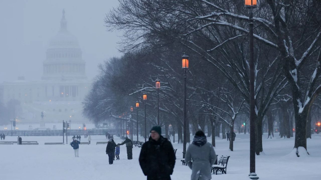
Minneapolis–St. Paul, Minnesota – Minnesota woke up to near-whiteout conditions Monday morning as wind-driven snow continued to sweep across the Twin Cities, creating dangerous travel conditions just days before New Year’s 2026. Gusty winds, bitter cold, and blowing snow combined to make even short trips risky across much of central and eastern Minnesota.
Winter Storm Warning Remains in Effect
A Winter Storm Warning remains active for the Minneapolis–St. Paul metro and surrounding areas through mid-morning Monday. As of early hours, temperatures hovered near 14 degrees, but strong northwest winds drove wind chills below zero, intensifying the cold exposure risk for anyone outdoors.
Light to moderate snowfall continued overnight and into the morning, adding 1 to 3 inches on top of Sunday’s accumulation. While snowfall rates have eased, the storm’s lingering impacts remain significant.
Blowing Snow and Whiteout Conditions
The biggest concern Monday morning is blowing and drifting snow. Wind gusts nearing 40 mph sharply reduce visibility, especially in open areas and along major travel corridors including I-94, I-35, and Highway 52.
Transportation officials strongly discourage non-essential travel where blizzard-like conditions persist. Even roads that have been plowed and treated can refreeze quickly, creating slick and deceptive stretches that are difficult to detect until it is too late.
Drivers who must travel are urged to reduce speed, allow extra stopping distance, and remain alert for sudden whiteout pockets.
Gradual Improvement Expected Later Today
Conditions are expected to slowly improve later Monday morning as snowfall tapers off across the region. However, brisk winds will persist through midday, continuing to cause drifting snow and reduced visibility.
If travel is unavoidable, officials recommend carrying winter safety supplies, including blankets, a charged phone, food, and water, in case of unexpected delays or road closures.
Bitter Cold Returns Monday Night
Behind the storm, colder air settles back into Minnesota. Monday night lows dip near 3 degrees, with wind chills once again falling below zero. Untreated surfaces will refreeze, increasing the risk of black ice during overnight and early-morning travel.
Midweek Pattern: Cold With More Snow Chances
A brief lull arrives Tuesday with partial sunshine and milder daytime temperatures. Highs reach near 31 degrees, offering temporary relief. However, another round of light snow is possible Tuesday night.
Wednesday brings yet another chance of snow as temperatures retreat into the teens. While accumulations appear lighter than the current storm, repeated snowfall keeps road conditions variable and unpredictable.
New Year’s Travel Outlook
Looking ahead, New Year’s Eve remains cold but calmer, allowing travel conditions to improve somewhat across the region. New Year’s Day 2026 trends brighter and quieter, with fewer weather-related disruptions expected.
Despite calmer skies, officials warn that lingering snowpack and repeated freeze-thaw cycles mean black ice remains a concern through the end of the year, especially during early morning and nighttime hours.
Five-Day Outlook for Minneapolis–St. Paul
Monday: Snow ending, blowing snow, high 12
Tuesday: Partly cloudy, high 31
Wednesday: Chance of snow, high 17
New Year’s Day: Mostly sunny, cold, high 9
Thursday: Mostly cloudy, high 14
What Residents Should Keep in Mind
Minnesotans are urged to monitor local forecasts, limit unnecessary travel during peak wind periods, and check road conditions before heading out. With holiday travel increasing, planning ahead and allowing extra time can help reduce risk during this prolonged stretch of winter weather.
As the state moves toward the New Year, patience and caution remain essential on Minnesota roads.