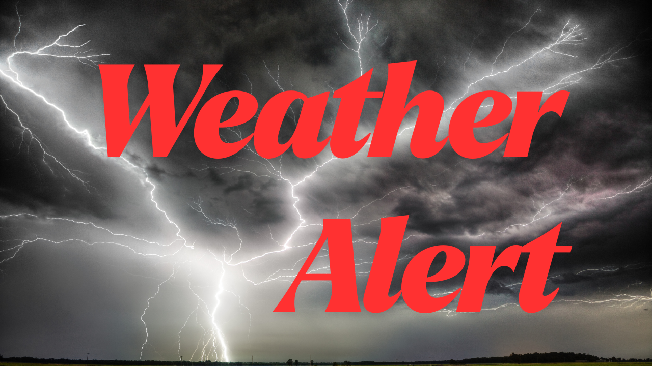
Nashville, Tenn. – On Sunday, showers and possibly heavy thunderstorms will move into Nashville and most of Middle Tennessee. This will increase the risk of flooding in some areas and cause travel delays until early next week. The National Weather Service says that it will likely rain on Sunday morning and continue throughout the day. In some places, heavy rain could fall during scattered thunderstorms.
People driving on I-24, I-65, and local streets should be ready for sudden rain, poor visibility, and puddles on the roads, especially in the late afternoon and evening on Sunday. We’ll get cooler air Sunday night, but it will still rain, and there could be storms all through Tuesday. Utility crews are telling people to charge their phones and keep flashlights on hand in case there are isolated power outages caused by lightning or strong winds.
There is only a 20% chance of showers on Monday, but storms could start up again in the afternoon and last through Tuesday. Even though it won’t rain every day, places where it rains a lot are more likely to have trees fall and streets flood. Watch the weather and don’t go anywhere you don’t have to during times of heavy rain.
Threats will last at least until Tuesday night, and the next big update won’t come until midweek, when drier air tries to return.
Five Day Forecast for Nashville, Tenn.:
- Saturday: Partly sunny, high near 87°F.
- Sunday: Showers and thunderstorms likely, some heavy rain, high 85°F.
- Monday: Slight chance of storms after 1 p.m., high 85°F.
- Tuesday: Scattered thunderstorms possible, high 89°F.
- Wednesday: Mostly sunny, warming up to 89°F.