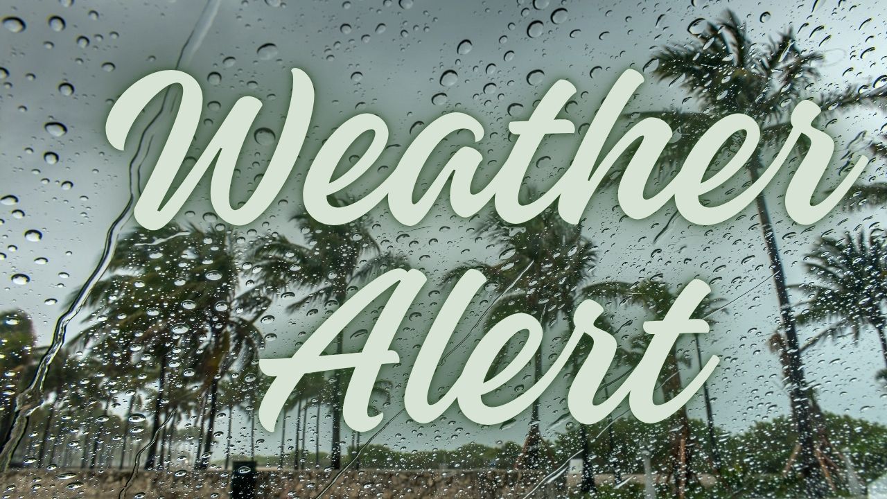
Boston, Mass. – Residents and drivers across eastern Massachusetts should prepare for challenging weather conditions starting late Saturday as thunderstorms and heavy showers move into the region. The combination of intense downpours and gusty winds, along with patchy fog expected overnight into Sunday morning, is likely to create slick road conditions and reduced visibility, particularly impacting travel on major highways like I-93 and I-95.
With an 80 percent chance of precipitation overnight and a risk of localized flooding in low-lying areas, authorities are advising motorists to avoid unnecessary late-night travel and to plan for possible delays as the storms roll through.
Storms Building on Saturday Evening
The National Weather Service in Norton forecasts that storm activity will intensify during Saturday afternoon, reaching its peak after sunset. Alongside heavy rain, gusty south winds near 15 mph will contribute to significantly reduced visibility. Drivers should be especially cautious on slick roadways.
- Storm chances increase during the late afternoon and evening hours on Saturday
- Gusty winds combined with heavy rainfall reduce visibility
- Localized flooding is possible in vulnerable low-lying neighborhoods
“Residents should plan around delays and steer clear of unnecessary late-night driving to stay safe during the stormy conditions,” warned a National Weather Service spokesperson.
Weekend Weather Outlook and Impact on Outdoor Activities
Friday sets a calm stage with clearing skies by evening and a comfortable low around 68 degrees. However, Saturday will heat up quickly, with temperatures climbing into the upper 80s before the storms begin. Those planning outdoor events should have a backup plan due to the possibility of isolated thunderstorms.
Sunday morning will remain unsettled, with showers likely before noon. Fortunately, conditions are expected to improve by afternoon as cooler and drier air moves into the region. Sports fans attending Sunday morning football games are advised to carry rain gear just in case.
- Friday evening: Clear skies, mild low near 68°F
- Saturday: High near 87°F, storms develop late day into night
- Sunday morning: Showers early with clearing by afternoon
Looking Ahead: Clearer Skies and Comfortable Temperatures
By Monday, the weather will turn noticeably calmer and sunnier. Expect highs in the mid-70s with light winds delivering a crisp, autumn-like atmosphere. The early workweek will feature partly to mostly sunny skies with comfortable temperatures remaining in the 70s, providing a nice break from the stormy weekend.
- Monday: Sunny, high of 75°F
- Tuesday: Mostly sunny, high of 74°F
- Wednesday: Partly cloudy, high of 75°F
Stay tuned to official weather updates as additional advisories could be issued if storm intensity or coverage increases.
Preparing for the Weekend Weather
Key recommendations for residents and travelers include:
- Monitor weather reports Saturday afternoon and evening
- Avoid unnecessary driving late Saturday night
- Carry rain gear if outdoors on Sunday morning
- Watch for possible localized flooding in susceptible areas
- Plan outdoor activities with backup options in case of thunderstorms
What do you think about this weather alert? Are you planning any weekend activities in Boston? Share your thoughts and preparations in the comments below