Maryland – Damp pavement and subfreezing air are setting the stage for hazardous travel across central Maryland and the Washington metro today, as a wintry mix spreads through the region. While the morning begins relatively calm, conditions are expected to worsen quickly by afternoon and evening, especially for drivers.
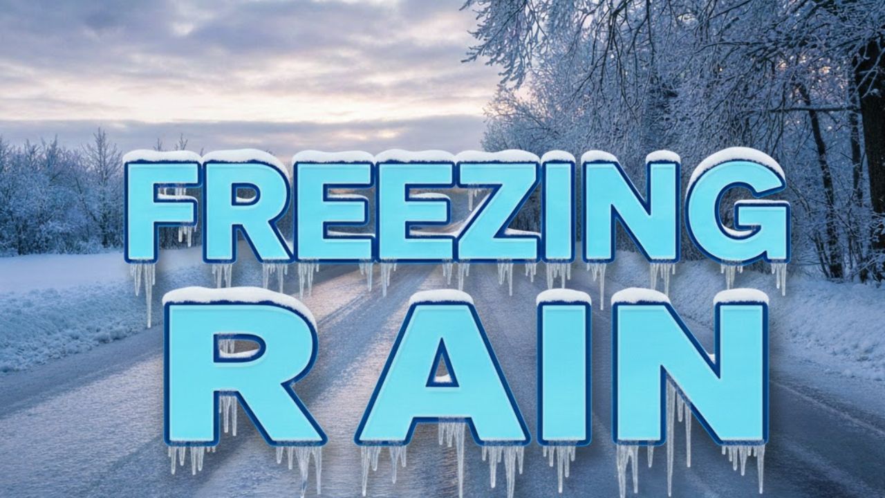
Wintry Mix Brings Icing Concerns Across the Region
According to the National Weather Service Baltimore/Washington office, a Winter Weather Advisory remains in effect from midday through late tonight for much of central and northern Maryland, including Baltimore, as well as Washington, D.C.
Forecasters say precipitation will fall as a mix of sleet and freezing rain, with ice accumulations up to one-tenth of an inch possible. Areas closer to the Pennsylvania border could see slightly higher totals, increasing the risk of dangerous travel conditions.
Roads May Turn Slick During Evening Commute
Temperatures across Baltimore and the District are hovering in the mid-30s, a range that makes even light icing hazardous. Precipitation is expected to begin as sleet or freezing rain before gradually changing to rain later this evening as slightly warmer air moves in from the south.
Even brief periods of icing can cause problems on elevated and untreated surfaces. Drivers should be especially cautious on I-95, I-695, the Baltimore-Washington Parkway, and Route 50, where bridges and overpasses tend to freeze first.
Travel and Pedestrian Safety Concerns
Conditions are expected to deteriorate late this afternoon and through the evening commute. Officials urge drivers to slow down, increase following distance, and avoid sudden braking or lane changes. Side streets, parking lots, and untreated sidewalks may become slick quickly, raising the risk of slips and falls for pedestrians.
Residents who must travel later today or tonight should allow extra time and check local road conditions before heading out.
Weekend Improvement, But Refreezing Remains Possible
Saturday should bring modest improvement, with lingering clouds and highs reaching the lower 40s. However, any leftover moisture on roads and sidewalks could refreeze after dark, keeping icy patches a concern overnight.
Attention then shifts to Sunday and Monday, when periods of rain are expected ahead of another cold push into the region.
New Year’s Week 2026 Outlook: Cold Returns
As New Year’s week 2026 approaches, temperatures are forecast to trend colder again. While widespread snow is not currently guaranteed, repeated freeze-thaw cycles could lead to black ice during early morning travel, particularly on secondary roads.
Five-Day Weather Outlook for Baltimore, Maryland
- Today: Wintry mix changing to rain, highs near 34°F
- Saturday: Mostly cloudy, highs near 41°F
- Sunday: Chance of rain, highs near 46°F
- Monday: Rain likely, highs near 59°F
- Tuesday: Partly sunny and cooler, highs near 37°F
What Comes Next
Residents across Maryland and the Washington metro are urged to stay alert for updated forecasts and advisories as conditions evolve through tonight and into the weekend.
If you are traveling today or this evening, what are conditions like where you are right now? Share your experiences in the comments below.