Louisville, Kentucky – Cold and wintry conditions continue across the Louisville area this week, with freezing mornings, occasional flurries, and a slow warming trend expected, according to the National Weather Service.
Cold Start to the Week
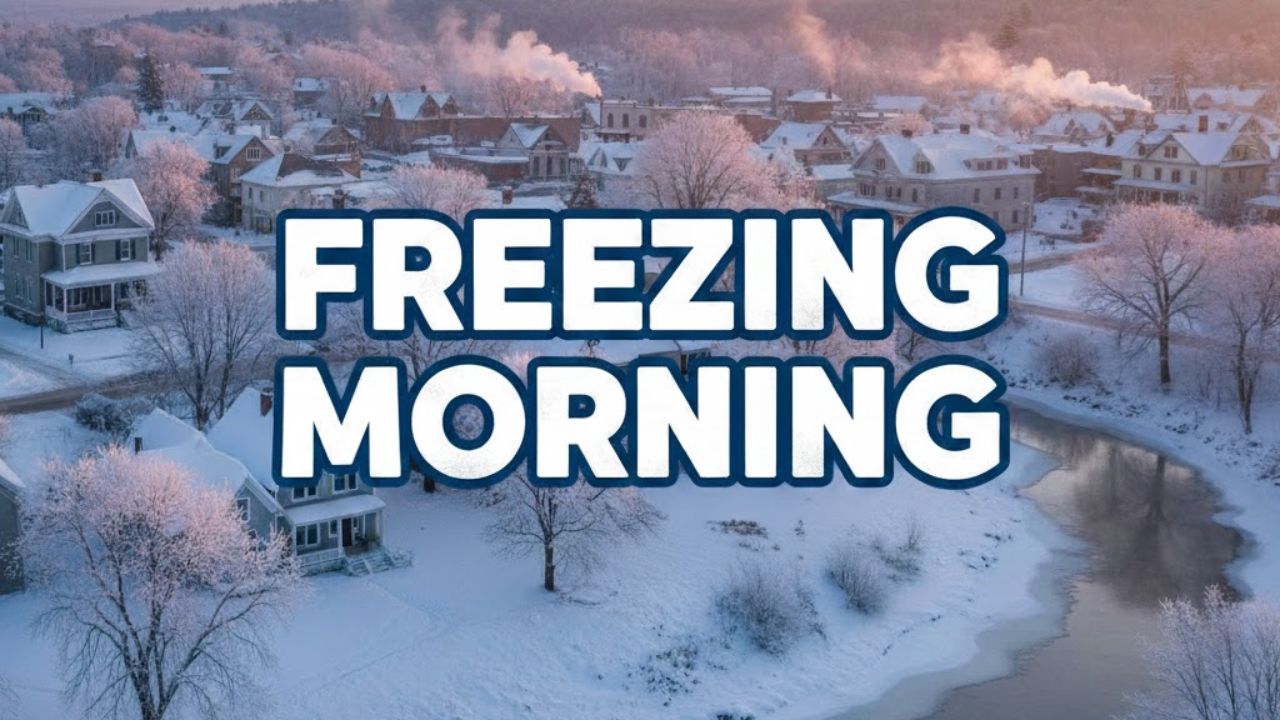
Early Tuesday morning observations at Bowman Field Airport showed temperatures near 23°F, with wind chills around 14°F under mostly overcast skies. Light northwest winds near 6 mph added to the cold feel, particularly during early commute hours when exposure felt more severe.
Residents heading out early experienced sub-freezing conditions across much of Jefferson County, with untreated surfaces remaining slick in shaded areas despite the absence of measurable snowfall.
Flurries Possible, No Accumulation Expected
The National Weather Service indicates a chance of flurries through Tuesday morning, though no accumulation is expected. Daytime highs on Tuesday are forecast to reach around 31°F, while morning wind chills could dip to near 10°F before temperatures slowly rebound in the afternoon.
While flurries are not expected to disrupt travel significantly, visibility may briefly lower during passing snow showers, especially north and east of downtown Louisville.
Midweek Gradual Warmup Begins
Conditions begin to moderate slightly by midweek. Wednesday’s forecast calls for highs near 39°F, with overnight lows remaining below freezing around 28°F. Skies will range from mostly cloudy to partly cloudy, helping limit any additional winter weather threats.
Despite the warmer daytime readings, overnight freezing conditions will persist, keeping early mornings cold for commuters, students, and outdoor workers.
New Year’s Day Outlook
By New Year’s Day, Louisville will see modest improvement. Forecasts call for mostly sunny skies with highs near 38°F, offering a noticeable break from the early-week chill. Overnight lows will still fall to around 28°F, meaning freezing conditions will continue overnight and into early morning hours.
Anyone attending outdoor New Year’s activities should dress for cold evening temperatures despite the daytime sunshine.
Late-Week Temperatures Climb Toward the 40s
A more noticeable warmup is expected by the end of the week. Highs on Friday are forecast to reach approximately 46°F, the warmest temperatures of the week. A 20 percent chance of light rain is possible Friday night, but forecasters do not expect any wintry precipitation at this time.
This shift suggests a transition away from prolonged freezing conditions, though nighttime temperatures may still dip near the freezing mark.
Watches, Warnings, and Safety Notes
At this time, no winter storm watches or warnings are in effect, and spotter activation is not anticipated. Still, residents should remain cautious during early morning hours when frost and freezing temperatures are most likely.
Drivers are advised to allow extra travel time, and homeowners should consider protecting exposed pipes during overnight freezes.
Looking Ahead
Louisville’s weather pattern this week reflects a typical late-December transition, with lingering cold gradually giving way to milder conditions. Residents are encouraged to monitor forecast updates as temperature fluctuations and rain chances increase heading into the weekend.
Share your experiences with the cold mornings or upcoming warmup in the comments below.