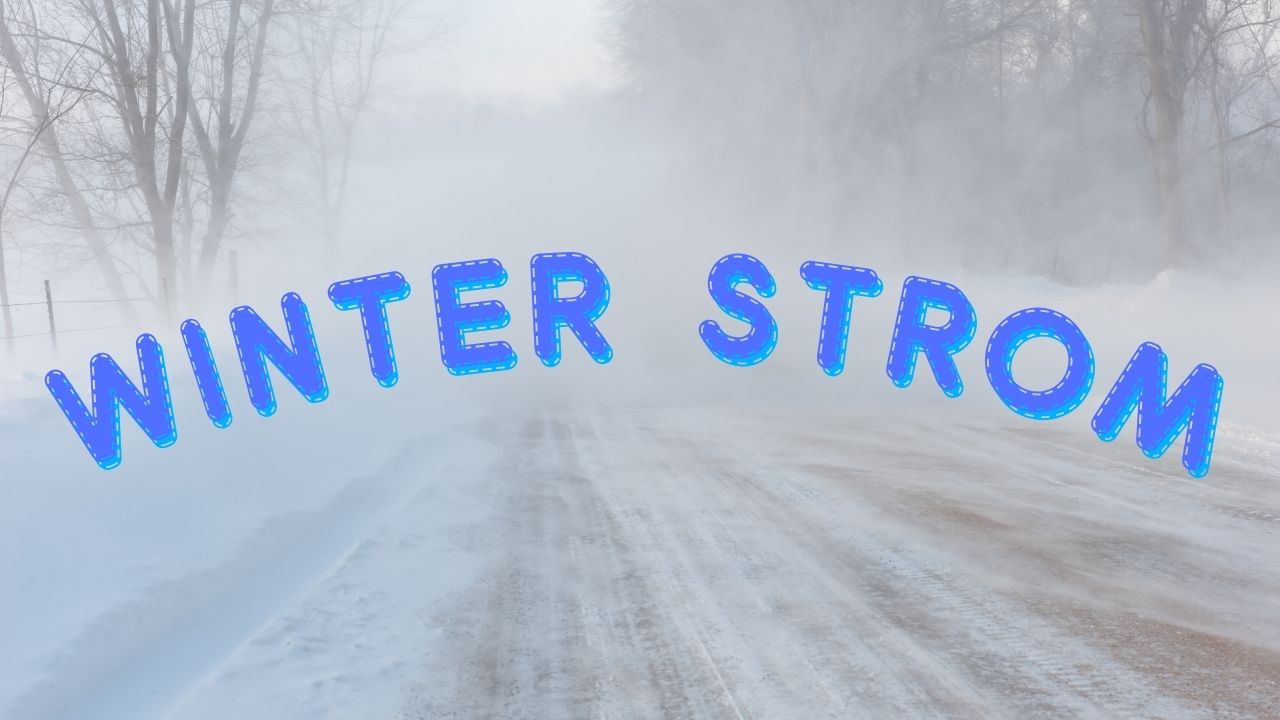
Las Vegas, NV – A winter storm system is sweeping across Southern Nevada, Eastern California, and Northwestern Arizona today, bringing gusty winds, blowing dust, and mountain snow through early Wednesday morning. The National Weather Service has expanded its Wind Advisory to cover all of Southern Nevada, Eastern San Bernardino County, and Northern Mohave County.
Wind and Dust Impact Across Southern Nevada
Strong south to southwest winds between 40 and 50 mph are expected, creating hazardous conditions for drivers, particularly on roads prone to crosswinds. These winds could also lead to blowing debris and hazardous boating conditions. Residents and travelers are urged to secure loose outdoor items, use caution on roads, and check forecasts before venturing into areas prone to gusty conditions.
Mountain Snow and Winter Storm Warnings
In the higher elevations, a Winter Storm Warning is in effect for the Eastern Sierra, where 8 to 16 inches of snow is forecast between 7,000 and 9,000 feet, with up to 2 feet possible above 9,000 feet. Winds in these mountain zones could also gust up to 50 mph, potentially creating near-whiteout conditions in some mountain passes.
Additional Winter Weather Advisories are in effect for the White Mountains and Spring Mountains, where several inches of snow and gusts up to 40 mph are expected. Impacts are expected along key routes, including Nevada Highways 156, 157, and 158.
Caution Advised for Travelers
Travelers are advised to use extreme caution, particularly when driving in higher terrain, where poor visibility and hazardous conditions could make travel difficult. Forecasters expect conditions to improve gradually by midweek, with tides returning closer to normal levels.
What are your thoughts on the early winter storm hitting Southern Nevada? Share your experiences or thoughts in the comments below.