Missouri – A sharp chill settles over Kansas City as the region heads into a cold and mostly quiet weather pattern through the weekend. Morning temperatures have already dipped into the mid-20s, and the cold snap is expected to deepen before relief arrives early next week. While conditions remain dry, the combination of subfreezing lows, patchy frost, and light winds will keep residents bracing for a wintry first weekend of December.
Cold air settles in across Kansas City
Forecasters at the National Weather Service in Pleasant Hill say the metro will remain locked in a cold but stable pattern through Sunday. Daytime highs hover in the low 40s Friday and Saturday, while overnight lows fall into the upper teens by early Sunday morning. The still, dry air will make these cold mornings feel even sharper for early commuters scraping frost from windshields.
Saturday offers a brief break in the cloud cover, with sunshine pushing temperatures to around 42°F before cooling again into the mid-20s overnight.
Sunday brings sharp temperature drop
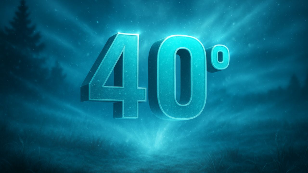
By Sunday, another wave of colder air arrives. Clouds thicken, winds remain light, and daytime highs struggle to climb above 31°F. This locks Kansas City into one of its coldest stretches so far this month. While the weekend remains dry, forecasters advise drivers along I-70 and US-71 to stay alert for black ice in shaded or untreated areas during the early morning hours.
The northeast portion of the metro may feel the coldest conditions, with temperatures dipping into the mid-teens by late Sunday night.
Gradual warm-up starts Monday
A slow but noticeable rebound begins Monday. Sunshine returns, raising highs into the upper 30s with a more comfortable feel during the afternoon. By Tuesday, temperatures climb to near 50°F, offering a brief but welcome thaw for roads, sidewalks, and outdoor activities.
This mild stretch continues into early Wednesday before a midweek cooldown brings temperatures back to seasonal norms.
Midwest outlook shows potential pre-holiday weather shifts
Although Kansas City avoids any major storm systems this weekend, meteorologists continue to monitor a series of Alberta clippers expected to slide across the northern Midwest between December 11 and 17. These fast-moving disturbances may generate snow bands and travel disruptions in nearby regions. While confidence remains low for Kansas City impacts, this timeframe could become important for pre-holiday travel planning.
Kansas City’s five-day forecast
Friday: High 43°F, low 26°F. Increasing clouds and cold conditions.
Saturday: High 42°F, low 26°F. Partly sunny with a chilly breeze.
Sunday: High 31°F, low 16°F. Mostly cloudy and sharply colder.
Monday: High 37°F, low 30°F. Mostly sunny with gradual warming.
Tuesday: High 50°F, low 30°F. Mild, dry, and pleasant.
What residents should keep in mind
Even without snowfall, early December brings seasonal hazards such as frost, black ice, and rapidly shifting temperatures. Layered clothing, slow morning driving, and routine vehicle checks—especially tire pressure and battery health—can help commuters avoid weather-related issues.
For those planning travel later in December, monitoring long-range updates from the National Weather Service will be essential as more active weather patterns begin to emerge across the Midwest.
Share your experience with this weekend’s temperatures in the comments.