Carter Lake, IA – Thunder rattled through eastern Nebraska and western Iowa early Tuesday as scattered storms lingered near Carter Lake and along I-29, prompting a brief weather alert for predawn travelers and residents. The National Weather Service in Omaha warned of light rainfall and brief gusty winds before a sharp shift back to dry, windy fall conditions.
Early-morning thunderstorm risk and immediate impacts
The National Weather Service in Omaha indicated that scattered thunderstorms could persist through 5 a.m. Tuesday in the Carter Lake area, with localized totals up to a tenth of an inch and the potential for brief gusty winds. Motorists on I-29 and I-80 were advised to watch for slick spots and reduced visibility before sunrise.
“Scattered thunderstorms may persist near Carter Lake through 5 a.m. Tuesday, with up to a tenth of an inch of rainfall possible and brief gusty winds.” — National Weather Service in Omaha
Today’s timeline: winds, temperatures and travel notes
After the early storms move out, skies are expected to clear and winds will shift, becoming breezy from the southeast by midday. Afternoon conditions will be unseasonably warm for September.
- Morning: Isolated thunderstorms and brief gusts; slick roads possible.
- Mid-afternoon: Southeast winds increasing, topping 15 mph by mid-afternoon.
- Afternoon high: Mostly sunny with a high near 85°F.
Short-term forecast and heat trend
Temperatures will continue to climb through the week, with daytime highs peaking near 91°F by Friday. Outdoor workers and households without air conditioning should prepare for several unseasonably hot September afternoons, particularly from Thursday through Sunday. Nights will offer some relief with lows in the mid-60s, but gusty conditions will linger.
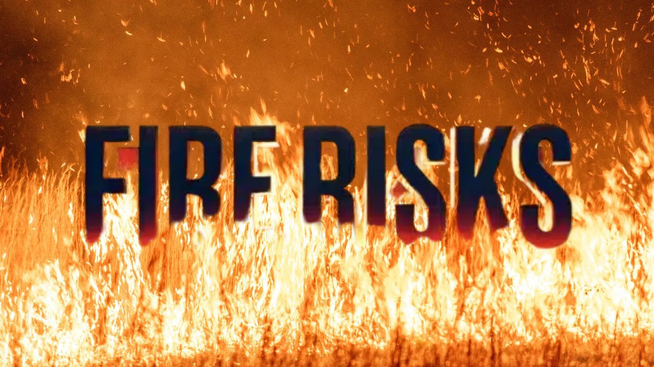
Fire risk and safety guidance for rural areas
With dry, breezy weather expected after Wednesday morning, local officials cautioned that fire danger could increase across rural parts of Pottawattamie and Douglas counties. Residents were urged to avoid outdoor burning and to monitor local emergency managers for updates.
- Potential hazards: Elevated fire risk due to dry air and sustained gusts up to 20 mph.
- Recommended actions: Avoid outdoor burning, secure loose outdoor items, and check local advisories.
- Who to watch: Rural landowners and anyone planning open-flame activities.
Five-day outlook for Carter Lake
Here is the forecast residents and travelers should keep in mind:
- Wednesday: Mostly sunny, high near 85°F. Southeast winds 5–10 mph.
- Thursday: Mostly sunny, high near 87°F. South winds 6–10 mph.
- Friday: Mostly sunny, hot, high near 91°F. Gusts up to 21 mph.
- Saturday: Sunny and breezy, high near 91°F. Winds up to 20 mph.
- Sunday: Slight chance of storms, high near 85°F. Winds 6–9 mph.
What residents should do now
Local officials recommend staying tuned to updates and taking basic precautions now that dry, windy weather is expected to dominate the coming days.
- Monitor road conditions if traveling on I-29 or I-80 before sunrise.
- Prepare for unseasonably hot afternoons—hydrate and limit strenuous outdoor work during peak heat.
- Avoid outdoor burning and secure flammable materials to reduce fire risk.
What do you think about this weather shift? Are you planning to change outdoor plans this week because of the heat or fire risk? Share your thoughts and safety tips in the comments below.