San Diego County is expected to remain under an unsettled weather pattern through the weekend, with intermittent light showers, occasional heavier bursts of rain, and periods of gusty southerly winds, according to the National Weather Service.
Forecasters say the active pattern will likely persist into early next week, with chances for showers continuing through Thursday before drier and warmer conditions arrive toward the end of next week.
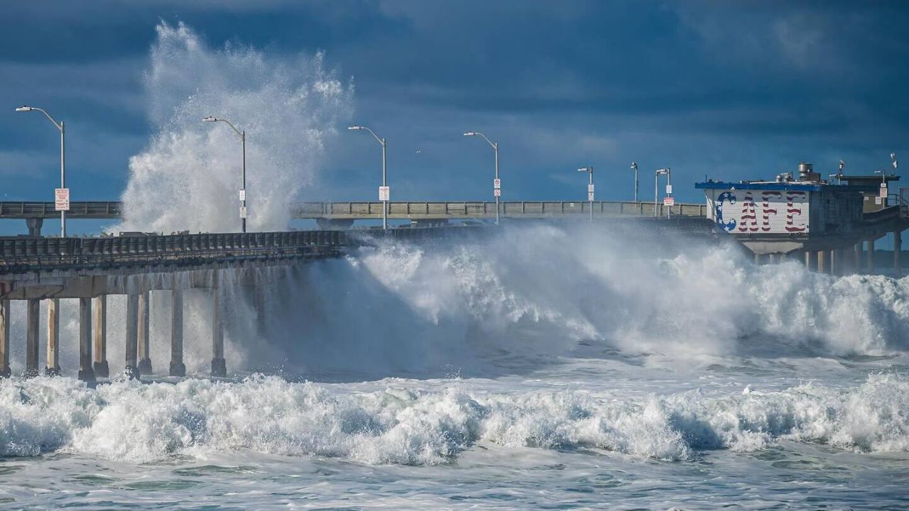
Beach Hazard Warning Issued Due to King Tides
The National Weather Service has issued a Beach Hazard Statement through Sunday because of elevated King Tides linked to this month’s full super moon. High tides are expected to peak between 6 and 7 feet, creating the potential for minor coastal flooding in low-lying and flood-prone areas.
“There is a beach hazard warning for minor coastal flooding in low-lying, flood-prone areas during high King Tides expected to peak through the weekend and end Monday morning,” said NWS forecaster Chandler Price.
Coastal residents are advised to remain cautious during high tide cycles, especially near beaches, harbors, and bays where water can briefly overflow onto roads, parking lots, and walkways.
Weekend Rain Pattern: Multiple Waves Expected
Forecasters say several weak storm waves will move through the region, bringing off-and-on showers rather than a single prolonged rain event.
According to Price, a wave of light showers is expected late Friday night into early Saturday morning, followed by a temporary break during the day. Another round of rain is forecast to arrive Saturday night and linger into Sunday, with the potential for locally heavier rainfall late Sunday night.
Saturday Forecast: Cloudy With Scattered Showers
Saturday is expected to be mostly cloudy across coastal and inland areas, with a slight chance of afternoon showers.
High temperatures along the coast are forecast to range from 65 to 68 degrees, with southerly winds around 10 mph becoming lighter in the evening. The National Weather Service estimates about a 50% chance of rain throughout the day.
In the valleys, highs are expected to reach 66 to 69 degrees in western areas and 62 to 67 degrees near the foothills, with similar chances for light showers during the afternoon.
Sunday Brings Increased Rain Chances and Possible Thunderstorms
On Sunday, coastal San Diego is expected to remain mostly cloudy, with scattered showers developing during the day and highs ranging from 64 to 68 degrees.
By Sunday night, conditions could become more unstable. Forecasters say there is a slight chance of thunderstorms overnight, with showers becoming more widespread and locally heavy rainfall possible. Overnight lows along the coast are expected to dip between 51 and 55 degrees.
Valley areas will also see mostly cloudy conditions Sunday, with highs of 65 to 68 degrees in western valleys and 60 to 65 degrees near the foothills. Like the coast, valleys have a slight chance of thunderstorms Sunday night.
New Year’s Day Storm Leaves Significant Impacts
The upcoming weekend system follows a powerful New Year’s Day storm that dumped extraordinary rainfall across the region.
More than two inches of rain fell at San Diego International Airport between midnight and early Thursday afternoon, surpassing the city’s average rainfall for the entire month of January, which typically sits just under two inches.
“It’ll finish as one of the top 15 rainiest days ever in the history of San Diego, dating back to the 1930s,” said meteorologist Alex Bledsoe.
Flooding Reported Across Multiple Communities
The intense rainfall overwhelmed drainage systems and caused flooding across several parts of the county. Hard-hit areas included Mission Valley, Fashion Valley, and Mission Hills, where streets, businesses, and vehicles were inundated by fast-moving water and mud.
Cleanup efforts were underway Friday as crews and residents assessed damage left behind by the storm. Mission Valley, an area known for flooding during heavy rain events, saw significant impacts along Camino de la Reina, where muddy debris and stranded vehicles remained hours after the rain ended.
Flooding was also reported far east in Anza-Borrego Desert State Park, where rainfall totals reached 1.71 inches, according to the Anza-Borrego Desert Research Center.
What to Expect Next
While the rain expected this weekend is forecast to be lighter than the New Year’s Day storm, officials urge residents to stay alert, especially in flood-prone areas and during overnight periods when heavier showers may develop.
Drivers are advised to watch for slick roads, avoid flooded intersections, and use extra caution near the coast during high tides. Weather officials will continue monitoring conditions and issuing updates as the next system moves through the region.