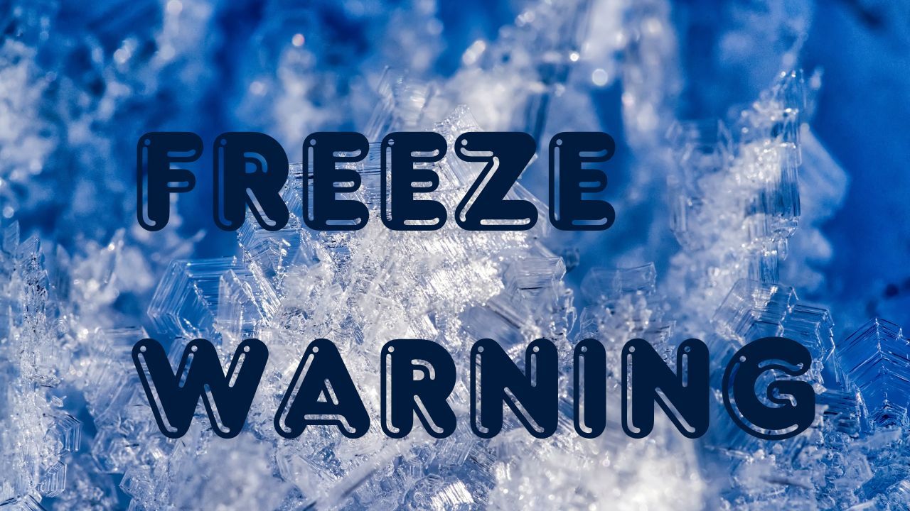
Indianapolis, IN – Central Indiana is bracing for a notable pattern change this week as a series of disturbances bring rain, snow showers, and a blast of arctic cold to the region, according to the National Weather Service in Indianapolis.
Today begins on a quieter note with cold but stable conditions, keeping highs in the mid-20s to lower 30s. A short-lived warm-up arrives Tuesday and Wednesday, briefly pushing temperatures into the upper 30s Tuesday and near 46 degrees Wednesday before a round of precipitation begins moving in.
Incoming Rain Followed by Snow Showers
Late Tuesday night, the next system approaches the state with periods of rain developing and continuing into Wednesday. Forecasters note that as colder air spills into central Indiana by Wednesday evening, the rain will transition to snow showers.
Light snow may linger at times from Wednesday night through Friday, creating pockets of reduced visibility and slick spots during the Thursday and Friday morning commutes.
The weather service highlights that while widespread accumulations are not expected, short bursts of snow could briefly impact travel.
Colder Air Locks In Through Friday
Behind the midweek system, a stronger push of cold air settles over the state. Temperatures will fall steadily through Thursday and Friday, with daytime highs trending downward and nighttime lows dipping into the teens.
This colder pattern sets the stage for what forecasters are calling one of the chilliest stretches of the season so far.
Arctic Airmass Arrives for the Weekend
By late week, an arctic airmass sweeps into Indiana, sending temperatures even lower. Overnight lows are expected to drop into the teens and single digits, and highs by Saturday may barely reach the upper teens.
According to the NWS, conditions will feel dramatically colder heading into the weekend, especially with wind chills factored in.
What This Means for Residents
Light snow, falling temperatures, and the potential for icy patches mean residents should plan ahead for fluctuating road conditions. Morning commutes on Thursday and Friday may be affected, particularly during periods of quick snow showers.
Drivers are encouraged to allow extra travel time, monitor updated forecasts, and stay aware of rapidly changing visibility.
Safety Tips for the Coldest Stretch of the Season
- Dress in layers and limit prolonged outdoor exposure
- Bring pets indoors during nighttime lows
- Inspect home heating systems and ensure proper ventilation
- Keep an emergency kit in vehicles due to increased risk of icy travel
Conclusion
If current trends hold, the weekend may mark the beginning of a longer cold phase heading into early next week, with temperatures remaining well below average for mid-December.
Share your experiences in the comments below.