Peoria, Illinois – Seasonal winter weather is settling in across central Illinois this week, with cold mornings, modest daytime highs, and a limited chance of snowfall arriving midweek. While no major winter storms are expected, residents should prepare for chilly conditions and stay alert for brief travel impacts, especially late Wednesday.
According to the National Weather Service office in Lincoln, temperatures through Friday will remain consistent with late-December norms. Daytime highs will generally range from the upper 20s to upper 30s, while overnight lows fall into the teens and 20s. Forecasters emphasize that the pattern favors typical winter cold rather than significant snow accumulation.
What to Expect Through the Week
Central Illinois will experience a steady stretch of cold but manageable winter weather. Tuesday brings partly cloudy skies with afternoon highs ranging between 28 and 33 degrees across the region. Overnight, temperatures are expected to dip into the mid- to upper-20s, keeping roads cold but mostly dry.
Wednesday is shaping up to be the mildest day of the week, with highs climbing into the mid-30s to upper-30s. This brief warming trend coincides with the best opportunity for precipitation, though snowfall chances remain limited and localized.
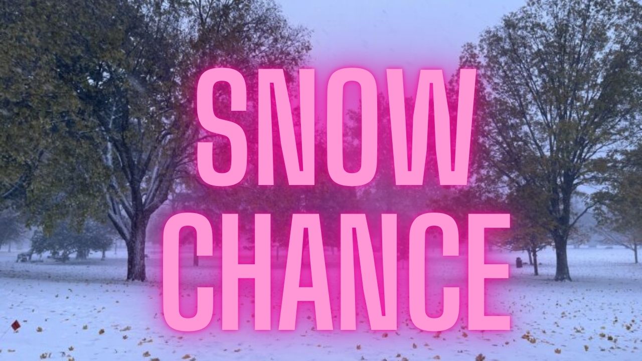
Wednesday Snow Chances Focused North of I-74
Forecasters indicate that late Wednesday afternoon into Wednesday evening presents about a 30 percent chance of snow, primarily for areas north of Interstate 74. Locations south of the corridor are expected to remain mostly dry, with little to no precipitation reaching the ground.
Any snow that does develop is expected to be light, with minimal accumulation. Still, even small amounts can create isolated slick spots, particularly as temperatures drop below freezing after sunset.
Cold Mornings and Wind Chills
Early-morning conditions have already felt harsh in parts of western and northern Illinois. Wind chills dropped into the single digits and near zero earlier today, especially around communities such as Galesburg and Pontiac. While winds are forecast to ease later in the day, cold mornings will remain a recurring theme through midweek.
Residents heading out early for work or school should plan for layered clothing, hats, and gloves, as exposed skin can become uncomfortable quickly during these colder starts.
Cooler Air Returns Thursday
After Wednesday’s brief moderation, colder air returns Thursday. Highs are expected to fall back into the mid-20s to low-30s, reinforcing winter’s grip on the region. Skies should remain mostly cloudy to partly cloudy, and no significant precipitation is anticipated.
Overnight temperatures Thursday night will again drop into the teens and lower-20s, maintaining the potential for icy patches on untreated surfaces.
Slight Rebound by Friday
By Friday, temperatures are forecast to rebound modestly. Afternoon highs may reach the upper-30s to low-40s, particularly under partly cloudy skies. While still cold, the milder conditions could feel noticeably more comfortable compared to earlier in the week.
No widespread precipitation is expected Friday, making it one of the quieter weather days for travel and outdoor plans.
Travel and Safety Considerations
Although snowfall amounts are expected to remain light, drivers should remain cautious, especially Wednesday evening and overnight. Bridges and overpasses can ice over quickly when temperatures drop below freezing, even if surrounding roads appear clear.
Motorists traveling north of I-74 midweek should allow extra time and stay alert for changing road conditions. Pedestrians should also watch for slick sidewalks and parking lots during the colder overnight and early-morning hours.
Staying Prepared
Weather conditions can shift quickly during winter, even during relatively quiet patterns. Residents are encouraged to monitor updated forecasts as Wednesday approaches and to plan accordingly for cold starts and potential spotty snow.
Dressing appropriately for cold mornings, keeping vehicles winter-ready, and checking local advisories can help reduce disruptions during the week ahead.
As central Illinois moves through this stretch of typical winter weather, staying informed remains the best way to stay safe. Share your experiences in the comments below.