Chicago, Illinois – Light snow developing late this afternoon is expected to create hazardous travel conditions across parts of northern Illinois, particularly during the evening commute, according to forecasters.
Meteorologists with the National Weather Service Chicago say a narrow window of snowfall will move into the region from late afternoon through early evening, potentially coating roadways and reducing visibility at a critical travel time.
Although snowfall totals are expected to remain limited, officials warn that even minor accumulation can significantly impact driving conditions, especially on untreated surfaces.
Snow Timing and Expected Accumulation
Forecasters indicate that snow will begin developing late this afternoon, continuing into the early evening hours before tapering off. Most locations are expected to see less than one inch of accumulation, but isolated areas could approach one inch.
The greatest likelihood for winter travel impacts extends northeast of a Rockford-to-Rensselaer line, which includes:
- Chicago metro area
- Northern Cook County
- Portions of Lake, DuPage, Kane, and McHenry counties
Because the snow is expected to fall during peak travel hours, officials stress that timing matters more than totals when it comes to road safety.
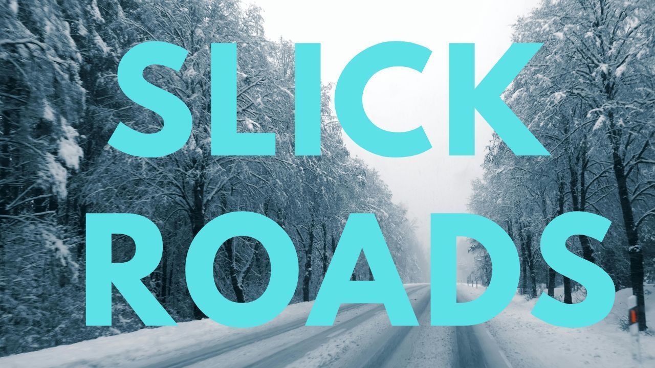
Why Roads May Become Slick Quickly
The National Weather Service cautions that cold pavement temperatures will allow snow to stick quickly, even with light snowfall rates. Areas of particular concern include:
- Bridges and overpasses
- Entrance and exit ramps
- Secondary and untreated roads
- Residential streets
Drivers may encounter patchy slick spots that are difficult to see, especially after sunset when temperatures drop further.
Travel Impacts During the Evening Commute
Transportation officials urge motorists to slow down and increase following distance later today. Reduced visibility and snow-covered roads may lead to:
- Slower traffic speeds
- Minor accidents
- Delays on major routes and surface streets
Those traveling for work, school activities, or evening errands should allow extra travel time and monitor local traffic updates before departing.
Additional Snow Chances on Wednesday
Snow chances return again on Wednesday, though forecasters expect light accumulations once more. Despite modest totals, travel disruptions remain possible, particularly during morning and evening travel periods.
Cold air will remain firmly in place, preventing rapid melting and allowing slick conditions to linger on untreated roads.
Temperature and Wind Outlook
Temperatures will stay well below freezing, contributing to persistent winter hazards:
- Tuesday highs: 23 to 27 degrees
- Overnight lows: 22 to 26 degrees
- Wednesday highs: 29 to 35 degrees
- Wednesday overnight lows: 5 to 16 degrees
Breezy conditions on Wednesday may also reduce visibility at times and increase wind chill values.
Extended Forecast: Cold Pattern Continues
Looking ahead, seasonably cold weather is expected to continue through the end of the week, with daytime highs generally in the 20s to low 30s. No major snowstorms are currently forecast, but intermittent light snow chances remain possible.
Safety Tips for Drivers and Pedestrians
Officials recommend the following precautions:
- Drive slower than normal and avoid sudden braking
- Keep headlights on during snowfall
- Watch for icy patches near intersections
- Wear proper footwear if walking outdoors
- Check road conditions before traveling
Conclusion
While snowfall totals remain modest, timing, cold temperatures, and untreated roads make this a high-impact winter weather event for northern Illinois. Evening travelers should prepare for slick conditions and delays through tonight.
Stay weather-aware and adjust travel plans accordingly. Share your experiences in the comments below.